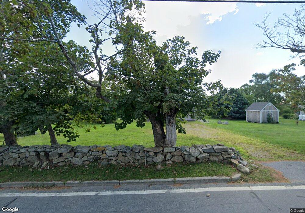
96 Sakonnet Point Rd Little Compton, RI 02837
Estimated Value: $1,253,174 - $2,470,000
3
Beds
2
Baths
2,261
Sq Ft
$843/Sq Ft
Est. Value
About This Home
This home is located at 96 Sakonnet Point Rd, Little Compton, RI 02837 and is currently estimated at $1,905,794, approximately $842 per square foot. 96 Sakonnet Point Rd is a home located in Newport County with nearby schools including Wilbur & McMahon School.
Ownership History
Date
Name
Owned For
Owner Type
Purchase Details
Closed on
Mar 16, 2020
Sold by
Joyce K Rogers Ret and Rogers
Bought by
Borden Beryl R and Borden Albert W
Current Estimated Value
Purchase Details
Closed on
May 6, 2019
Sold by
Rogers Richard F
Bought by
Joyce K Rogers Ret and Rogers
Purchase Details
Closed on
Nov 16, 1979
Bought by
Rogers Richard F and Rogers Joyce K
Create a Home Valuation Report for This Property
The Home Valuation Report is an in-depth analysis detailing your home's value as well as a comparison with similar homes in the area
Home Values in the Area
Average Home Value in this Area
Purchase History
| Date | Buyer | Sale Price | Title Company |
|---|---|---|---|
| Borden Beryl R | -- | None Available | |
| Borden Beryl R | -- | None Available | |
| Joyce K Rogers Ret | -- | -- | |
| Joyce K Rogers Ret | -- | -- | |
| Rogers Richard F | -- | -- |
Source: Public Records
Tax History Compared to Growth
Tax History
| Year | Tax Paid | Tax Assessment Tax Assessment Total Assessment is a certain percentage of the fair market value that is determined by local assessors to be the total taxable value of land and additions on the property. | Land | Improvement |
|---|---|---|---|---|
| 2025 | $5,090 | $1,062,600 | $647,800 | $414,800 |
| 2024 | $5,053 | $994,600 | $563,100 | $431,500 |
| 2023 | $4,933 | $994,600 | $563,100 | $431,500 |
| 2022 | $4,874 | $994,600 | $563,100 | $431,500 |
| 2021 | $4,443 | $735,600 | $445,100 | $290,500 |
| 2020 | $4,406 | $735,600 | $445,100 | $290,500 |
| 2019 | $4,362 | $735,600 | $445,100 | $290,500 |
| 2018 | $3,750 | $629,200 | $356,100 | $273,100 |
| 2016 | $3,568 | $629,200 | $356,100 | $273,100 |
| 2015 | $3,448 | $599,700 | $296,800 | $302,900 |
| 2014 | $3,382 | $599,700 | $296,800 | $302,900 |
Source: Public Records
Map
Nearby Homes
- 536 W Main Rd
- 141 S Of Commons Rd
- 441 W Main Rd
- 18 Old Barn Rd
- 128 Maple Ave
- 515 Indian Ave
- 0 Willow Ave
- 304 Brayton Point Rd
- 189 Brayton Point Rd
- 180 W Main Rd
- 62 Howland Ave
- 78 Cornelius Dr
- 17 Ferolbink Way
- 505 Long Hwy
- 155 W Main Rd
- 10 Bartlett Rd
- 141 Gray Craig Rd
- 16 Sachuest Dr
- 0 Saltwood Dr
- 255 John Dyer Rd
- 98 Sakonnet Point Rd
- 90 Sakonnet Point Rd
- 100 Sakonnet Point Rd
- 91 Sakonnet Point Rd
- 95 Sakonnet Point Rd
- 106 Sakonnet Point Rd
- 106B Sakonnet Point Rd
- 101A Sakonnet Point Rd
- 101 Sakonnet Point Rd
- 114 Sakonnet Point Rd
- 11 Goodrich Ln
- 109 Sakonnet Point Rd
- 80 Sakonnet Point Rd
- 116 Sakonnet Point Rd
- 115 Sakonnet Point Rd
- 6 Goodrich Ln
- 118 Sakonnet Point Rd
- 66 Sakonnet Point Rd
- 127 Sakonnet Point Rd
- 127C Sakonnet Point Rd