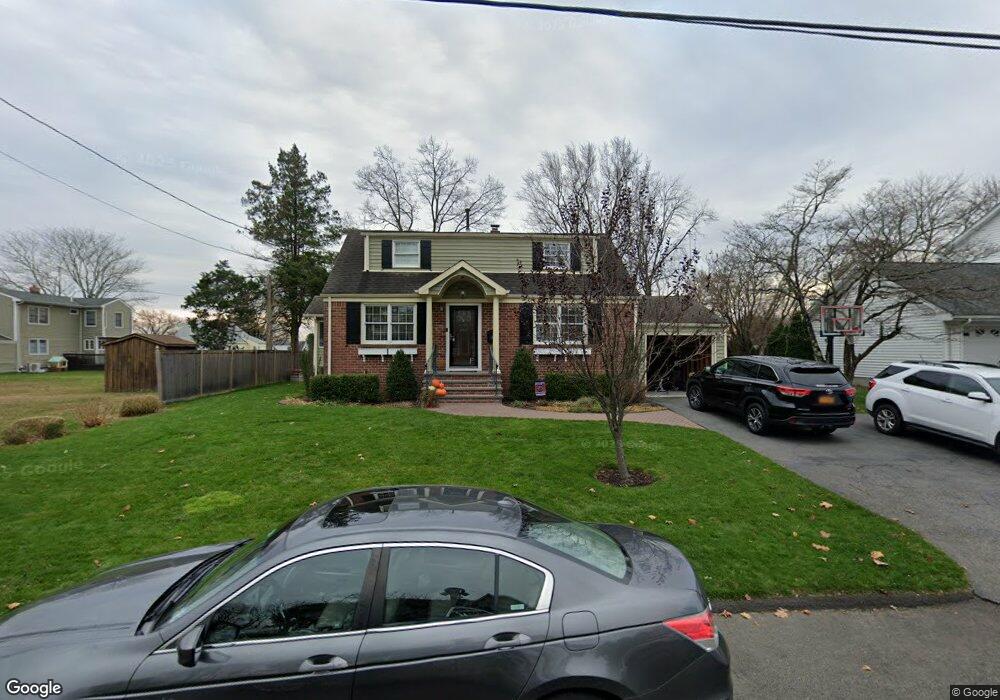
96 Secor Blvd Pearl River, NY 10965
Estimated Value: $656,938 - $701,000
3
Beds
2
Baths
1,526
Sq Ft
$441/Sq Ft
Est. Value
About This Home
This home is located at 96 Secor Blvd, Pearl River, NY 10965 and is currently estimated at $673,235, approximately $441 per square foot. 96 Secor Blvd is a home located in Rockland County with nearby schools including Pearl River High School and St Margaret School.
Ownership History
Date
Name
Owned For
Owner Type
Purchase Details
Closed on
Sep 16, 2008
Sold by
Pentimone Craig and Pentimone Catherine
Bought by
Pentimone Catherine and Leahy Catherine
Current Estimated Value
Home Financials for this Owner
Home Financials are based on the most recent Mortgage that was taken out on this home.
Original Mortgage
$11,936
Outstanding Balance
$3,559
Interest Rate
6.03%
Mortgage Type
New Conventional
Estimated Equity
$669,676
Purchase Details
Closed on
Aug 30, 2000
Sold by
Livsey Shirley M
Bought by
Pentimone Craig and Pentimone Catherine
Home Financials for this Owner
Home Financials are based on the most recent Mortgage that was taken out on this home.
Original Mortgage
$190,000
Outstanding Balance
$69,248
Interest Rate
8.1%
Estimated Equity
$603,987
Create a Home Valuation Report for This Property
The Home Valuation Report is an in-depth analysis detailing your home's value as well as a comparison with similar homes in the area
Home Values in the Area
Average Home Value in this Area
Purchase History
| Date | Buyer | Sale Price | Title Company |
|---|---|---|---|
| Pentimone Catherine | -- | None Available | |
| Pentimone Craig | $275,000 | Stewart Title Insurance Co |
Source: Public Records
Mortgage History
| Date | Status | Borrower | Loan Amount |
|---|---|---|---|
| Open | Pentimone Catherine | $11,936 | |
| Open | Pentimone Craig | $190,000 |
Source: Public Records
Tax History Compared to Growth
Tax History
| Year | Tax Paid | Tax Assessment Tax Assessment Total Assessment is a certain percentage of the fair market value that is determined by local assessors to be the total taxable value of land and additions on the property. | Land | Improvement |
|---|---|---|---|---|
| 2024 | $12,350 | $155,400 | $39,200 | $116,200 |
| 2023 | $12,350 | $155,400 | $39,200 | $116,200 |
| 2022 | $10,408 | $155,400 | $39,200 | $116,200 |
| 2021 | $10,408 | $155,400 | $39,200 | $116,200 |
| 2020 | $10,840 | $155,400 | $39,200 | $116,200 |
| 2019 | $3,652 | $155,400 | $39,200 | $116,200 |
| 2018 | $9,191 | $155,400 | $39,200 | $116,200 |
| 2017 | $8,861 | $155,400 | $39,200 | $116,200 |
| 2016 | $8,584 | $155,400 | $39,200 | $116,200 |
| 2015 | -- | $155,400 | $39,200 | $116,200 |
| 2014 | -- | $155,400 | $39,200 | $116,200 |
Source: Public Records
Map
Nearby Homes
- 4 Brown Dr
- 110 Orchid Dr
- 452 Somerset Dr Unit F
- 432 Somerset Dr Unit M
- 854 E Crooked Hill Rd Unit 854
- 165 Forest Ave
- 250 Blauvelt Rd
- 87 Pinto Rd
- 14 Staubitz Ave
- 46 Cara Dr
- 352 Holt Dr
- 26 E George Ave
- 137 Blauvelt Rd
- 73 Bogert Ave
- 20 E Palisades Ave
- 86 Braunsdorf Rd
- 15 Pacific Ave
- 99 E Washington Ave
- 24 Moore Ave
- 84 Highview Ave