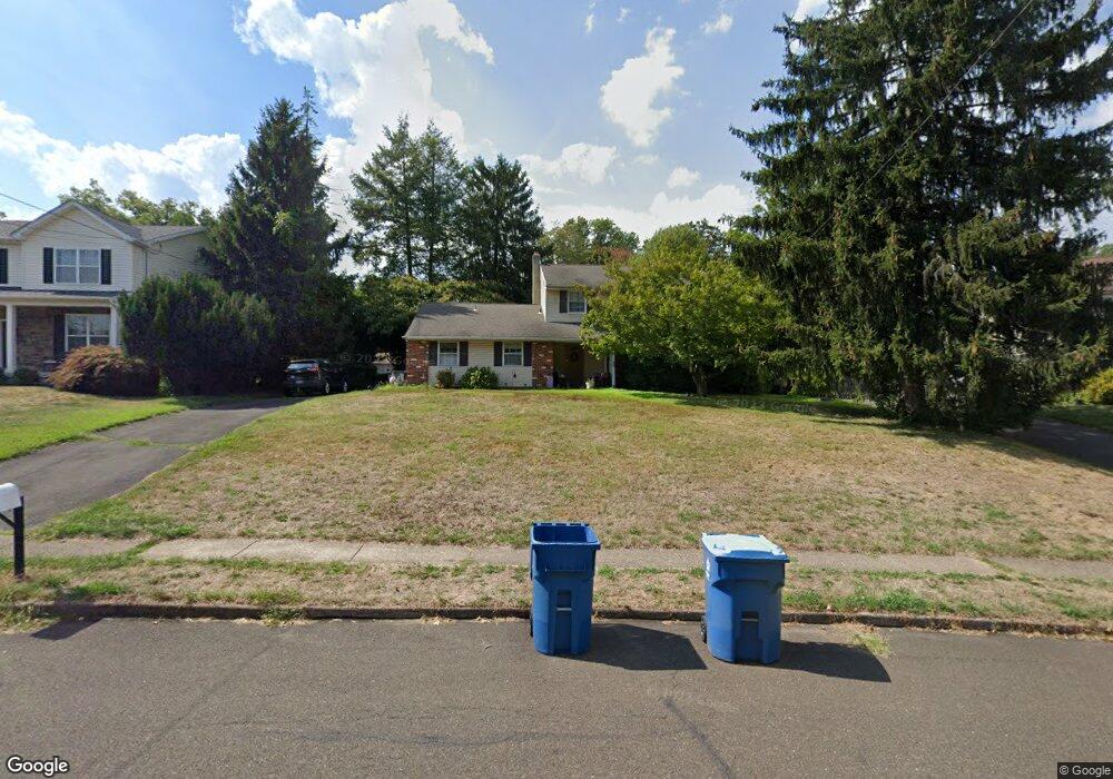
96 Sourwood Dr Hatboro, PA 19040
Estimated Value: $516,939 - $556,000
4
Beds
3
Baths
1,848
Sq Ft
$289/Sq Ft
Est. Value
About This Home
This home is located at 96 Sourwood Dr, Hatboro, PA 19040 and is currently estimated at $533,485, approximately $288 per square foot. 96 Sourwood Dr is a home located in Montgomery County with nearby schools including Blair Mill Elementary School, Keith Valley Middle School, and Hatboro-Horsham Senior High School.
Ownership History
Date
Name
Owned For
Owner Type
Purchase Details
Closed on
Jun 2, 2004
Sold by
Barnett John F and Barnett Gia E
Bought by
Barnett John F
Current Estimated Value
Home Financials for this Owner
Home Financials are based on the most recent Mortgage that was taken out on this home.
Original Mortgage
$144,000
Outstanding Balance
$70,959
Interest Rate
6.12%
Estimated Equity
$462,526
Purchase Details
Closed on
Jun 16, 2000
Sold by
Bothe Robert D
Bought by
Barnett John F and Barnett Gia E
Create a Home Valuation Report for This Property
The Home Valuation Report is an in-depth analysis detailing your home's value as well as a comparison with similar homes in the area
Home Values in the Area
Average Home Value in this Area
Purchase History
| Date | Buyer | Sale Price | Title Company |
|---|---|---|---|
| Barnett John F | -- | -- | |
| Barnett John F | $200,000 | -- |
Source: Public Records
Mortgage History
| Date | Status | Borrower | Loan Amount |
|---|---|---|---|
| Open | Barnett John F | $144,000 |
Source: Public Records
Tax History Compared to Growth
Tax History
| Year | Tax Paid | Tax Assessment Tax Assessment Total Assessment is a certain percentage of the fair market value that is determined by local assessors to be the total taxable value of land and additions on the property. | Land | Improvement |
|---|---|---|---|---|
| 2025 | $5,847 | $148,770 | $59,720 | $89,050 |
| 2024 | $5,847 | $148,770 | $59,720 | $89,050 |
| 2023 | $5,566 | $148,770 | $59,720 | $89,050 |
| 2022 | $5,386 | $148,770 | $59,720 | $89,050 |
| 2021 | $5,258 | $148,770 | $59,720 | $89,050 |
| 2020 | $5,135 | $148,770 | $59,720 | $89,050 |
| 2019 | $5,036 | $148,770 | $59,720 | $89,050 |
| 2018 | $4,285 | $148,770 | $59,720 | $89,050 |
| 2017 | $4,811 | $148,770 | $59,720 | $89,050 |
| 2016 | $4,753 | $148,770 | $59,720 | $89,050 |
| 2015 | $4,539 | $148,770 | $59,720 | $89,050 |
| 2014 | $4,539 | $148,770 | $59,720 | $89,050 |
Source: Public Records
Map
Nearby Homes
- 236 Oak Hill Dr
- 125 Meetinghouse Rd
- 491 Prospect Rd
- 14 Norwyn Rd
- 243 Summer Ave
- 322 W Moreland Ave
- 472 4th Ave
- 102 Earl Ln
- 735 Claire Rd
- 1002 Windsor Rd
- 414 Watson Ave
- 204 Wilson Ave
- 47 Fairview Ave
- 425 Grape St
- 474 Easton Rd
- 336 Laurel Ave
- 322 Bonair Ave
- 2615 Horsham Rd
- 318 Bonair Ave
- 2625 Horsham Rd
- 98 Sourwood Dr
- 94 Sourwood Dr
- 213 Beatrice Ave
- 100 Sourwood Dr
- 215 Beatrice Ave
- 97 Sourwood Dr
- 99 Crab Apple Ln
- 99 Sourwood Dr
- 102 Sourwood Dr
- 101 Sourwood Dr
- 217 Beatrice Ave
- 204 Beatrice Ave
- 103 Sourwood Dr
- 206 Beatrice Ave
- 202 Beatrice Ave
- 208 Beatrice Ave
- 104 Sourwood Dr
- 210 Beatrice Ave
- 101 Crab Apple Ln
- 207 Beatrice Ave