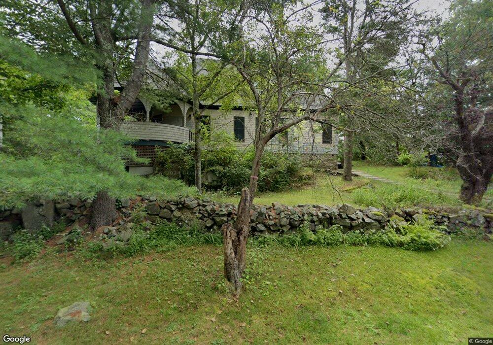
96 Stearns Rd Ogunquit, ME 03907
Ogunquit NeighborhoodEstimated Value: $1,321,729 - $1,590,000
4
Beds
4
Baths
2,546
Sq Ft
$559/Sq Ft
Est. Value
About This Home
This home is located at 96 Stearns Rd, Ogunquit, ME 03907 and is currently estimated at $1,424,182, approximately $559 per square foot. 96 Stearns Rd is a home located in York County with nearby schools including Wells Junior High School, Wells Elementary School, and Wells High School.
Ownership History
Date
Name
Owned For
Owner Type
Purchase Details
Closed on
Oct 4, 2022
Sold by
Mortimer Claire F
Bought by
Breen Peter R and Breen Kerry M
Current Estimated Value
Purchase Details
Closed on
Jun 21, 2022
Sold by
Mortimer John S and Mortimer Katherine E
Bought by
Mortimer Claire F
Purchase Details
Closed on
May 4, 2022
Sold by
Mortimer Claire F
Bought by
Mortimer John S and Mortimer Katherine E
Purchase Details
Closed on
Nov 15, 2018
Sold by
Watson Katherine A Est and Watson
Bought by
Watson Samuel A and Forrest Mortimer C
Create a Home Valuation Report for This Property
The Home Valuation Report is an in-depth analysis detailing your home's value as well as a comparison with similar homes in the area
Home Values in the Area
Average Home Value in this Area
Purchase History
| Date | Buyer | Sale Price | Title Company |
|---|---|---|---|
| Breen Peter R | $196,384 | None Available | |
| Mortimer Claire F | -- | None Available | |
| Mortimer John S | -- | None Available | |
| Watson Samuel A | -- | -- |
Source: Public Records
Tax History
| Year | Tax Paid | Tax Assessment Tax Assessment Total Assessment is a certain percentage of the fair market value that is determined by local assessors to be the total taxable value of land and additions on the property. | Land | Improvement |
|---|---|---|---|---|
| 2024 | $7,105 | $1,099,900 | $719,200 | $380,700 |
| 2023 | $7,105 | $1,099,900 | $719,200 | $380,700 |
| 2022 | $7,054 | $1,116,200 | $735,500 | $380,700 |
| 2021 | $7,034 | $864,100 | $564,200 | $299,900 |
| 2020 | $6,913 | $864,100 | $564,200 | $299,900 |
| 2019 | $6,913 | $864,100 | $564,200 | $299,900 |
| 2018 | $6,835 | $864,100 | $564,200 | $299,900 |
| 2017 | $6,550 | $864,100 | $564,200 | $299,900 |
| 2016 | $6,854 | $847,200 | $564,200 | $283,000 |
| 2015 | $6,837 | $847,200 | $564,200 | $283,000 |
| 2014 | $6,574 | $847,200 | $564,200 | $283,000 |
Source: Public Records
Map
Nearby Homes
- 67 Cherry Ln
- 55 Israel Head Rd Unit 203
- 0 Cooley Ln
- 33 Rocky Ln
- 200 Shore Rd
- 413 Shore Rd
- 113 Perkins Cove Rd
- 117 Perkins Cove Rd
- 69 Cottage St
- 35 Main St Unit 8
- 25 Shore Rd Unit A
- 20 Shore Rd Unit 2A,B,C,D
- 62 Pine Hill Rd S Unit 101
- 14 Valleybrook Rd Unit 14
- 14 Maple St
- 350 Pine Hill Rd
- 488 Main St Unit 7
- 90 Bald Head Cliff Rd
- 1 Ruby Rd
- 20 Zoe's Way
- TBD Cherry Ln
- 95 Stearns Rd
- 0 Cherry Ln
- 87 Stearns Rd
- 110 Stearns Rd
- 107 Stearns Rd
- 101 Stearns Rd
- 180 Frazier Pasture Rd
- 72 Stearns Rd
- 190 Frazier Pasture Rd
- 67 Cherry Lane Lot # 1
- 115 Stearns Rd
- 194 Frazier Pasture Rd
- 114 Stearns Rd
- 96 Ledge Rd
- 62 Cherry Ln
- 100 Ledge Rd
- 31 Cherry Ln
- 106 Ledge Rd Unit C
- 106 Ledge Rd Unit B
Your Personal Tour Guide
Ask me questions while you tour the home.