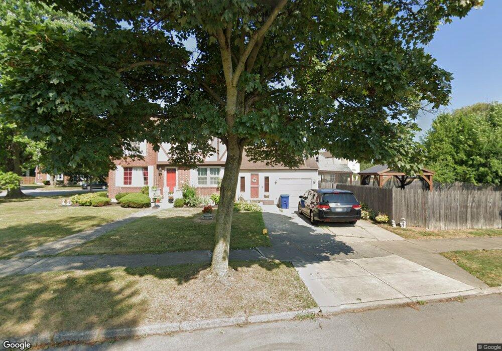
96 Stevenson Blvd Buffalo, NY 14226
Eggertsville NeighborhoodEstimated Value: $310,666 - $432,000
3
Beds
2
Baths
1,658
Sq Ft
$210/Sq Ft
Est. Value
About This Home
This home is located at 96 Stevenson Blvd, Buffalo, NY 14226 and is currently estimated at $347,667, approximately $209 per square foot. 96 Stevenson Blvd is a home located in Erie County with nearby schools including Windermere Boulevard School, Amherst Middle School, and Amherst Central High School.
Ownership History
Date
Name
Owned For
Owner Type
Purchase Details
Closed on
Sep 23, 2005
Sold by
Batts Raymond R
Bought by
Batts Raymond R and Batts Clotilda
Current Estimated Value
Home Financials for this Owner
Home Financials are based on the most recent Mortgage that was taken out on this home.
Original Mortgage
$136,000
Interest Rate
6.17%
Mortgage Type
New Conventional
Create a Home Valuation Report for This Property
The Home Valuation Report is an in-depth analysis detailing your home's value as well as a comparison with similar homes in the area
Home Values in the Area
Average Home Value in this Area
Purchase History
| Date | Buyer | Sale Price | Title Company |
|---|---|---|---|
| Batts Raymond R | -- | None Available |
Source: Public Records
Mortgage History
| Date | Status | Borrower | Loan Amount |
|---|---|---|---|
| Closed | Batts Raymond R | $34,000 | |
| Closed | Batts Raymond R | $136,000 |
Source: Public Records
Tax History
| Year | Tax Paid | Tax Assessment Tax Assessment Total Assessment is a certain percentage of the fair market value that is determined by local assessors to be the total taxable value of land and additions on the property. | Land | Improvement |
|---|---|---|---|---|
| 2024 | $6,097 | $277,000 | $48,000 | $229,000 |
| 2023 | $5,938 | $158,000 | $36,800 | $121,200 |
| 2022 | $6,071 | $158,000 | $36,800 | $121,200 |
| 2021 | $6,065 | $158,000 | $36,800 | $121,200 |
| 2020 | $4,804 | $158,000 | $36,800 | $121,200 |
| 2019 | $4,740 | $158,000 | $36,800 | $121,200 |
| 2018 | $4,630 | $158,000 | $36,800 | $121,200 |
| 2017 | $2,165 | $158,000 | $36,800 | $121,200 |
| 2016 | $4,579 | $142,100 | $25,200 | $116,900 |
| 2015 | -- | $142,100 | $25,200 | $116,900 |
| 2014 | -- | $142,100 | $25,200 | $116,900 |
Source: Public Records
Map
Nearby Homes
- 405 Grover Cleveland Hwy
- 240 Callodine Ave
- 236 Callodine Ave
- 251 Springville Ave
- 380 Callodine Ave
- 179 Callodine Ave
- 159 Callodine Ave
- 339 Windermere Blvd
- 1436 Eggert Rd
- 150 Meadow Lea Dr
- 300 Windermere Blvd
- 3906 Bailey Ave
- 116 Springville Ave
- 79 Callodine Ave
- 1425 Eggert Rd
- 511 Capen Blvd
- 162 Ivyhurst Rd
- 321 Niagara Falls Blvd
- 1163 Eggert Rd
- 136 Kettering Dr
- 233 Maynard Dr
- 108 Stevenson Blvd
- 249 Maynard Dr
- 95 Stevenson Blvd
- 89 Stevenson Blvd
- 99 Stevenson Blvd
- 112 Stevenson Blvd
- 85 Stevenson Blvd
- 103 Stevenson Blvd
- 107 Stevenson Blvd
- 234 Maynard Dr
- 230 Maynard Dr
- 118 Stevenson Blvd
- 244 Maynard Dr
- 115 Stevenson Blvd
- 224 Maynard Dr
- 259 Maynard Dr
- 250 Maynard Dr
- 119 Stevenson Blvd
- 122 Stevenson Blvd
Your Personal Tour Guide
Ask me questions while you tour the home.