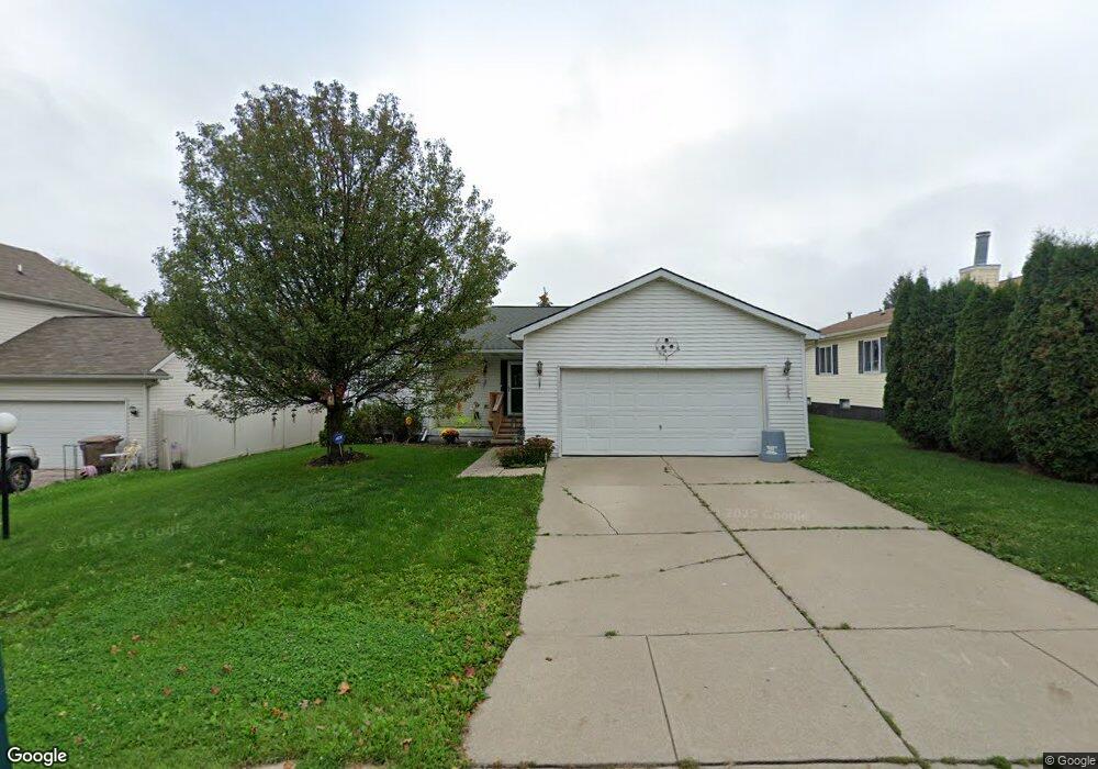
96 W Kennett Rd Pontiac, MI 48340
Estimated Value: $140,000 - $186,000
--
Bed
2
Baths
1,392
Sq Ft
$123/Sq Ft
Est. Value
About This Home
This home is located at 96 W Kennett Rd, Pontiac, MI 48340 and is currently estimated at $171,618, approximately $123 per square foot. 96 W Kennett Rd is a home located in Oakland County with nearby schools including Alcott School, Pontiac Middle School, and Pontiac High School.
Ownership History
Date
Name
Owned For
Owner Type
Purchase Details
Closed on
Nov 19, 2004
Sold by
Kennett Development Co Llc
Bought by
Windsor Robert and Elam Windsor Frances D
Current Estimated Value
Purchase Details
Closed on
Nov 2, 2004
Sold by
Bolyard Gary L and Bolyard Nancy
Bought by
Kennett Development Co Llc
Purchase Details
Closed on
Jan 16, 2003
Sold by
Moss Green W and Moss Eldora G
Bought by
Bolyard Gary L
Create a Home Valuation Report for This Property
The Home Valuation Report is an in-depth analysis detailing your home's value as well as a comparison with similar homes in the area
Home Values in the Area
Average Home Value in this Area
Purchase History
| Date | Buyer | Sale Price | Title Company |
|---|---|---|---|
| Windsor Robert | $164,000 | Philip R Seaver Title Co Inc | |
| Kennett Development Co Llc | $2,000 | -- | |
| Bolyard Gary L | $30,000 | Philip R Seaver Title Co Inc |
Source: Public Records
Tax History Compared to Growth
Tax History
| Year | Tax Paid | Tax Assessment Tax Assessment Total Assessment is a certain percentage of the fair market value that is determined by local assessors to be the total taxable value of land and additions on the property. | Land | Improvement |
|---|---|---|---|---|
| 2024 | $1,163 | $55,360 | $0 | $0 |
| 2023 | $1,109 | $51,950 | $0 | $0 |
| 2022 | $1,140 | $51,610 | $0 | $0 |
| 2021 | $1,108 | $51,450 | $0 | $0 |
| 2020 | $1,008 | $45,420 | $0 | $0 |
| 2019 | $4,117 | $39,490 | $0 | $0 |
| 2018 | $1,041 | $34,690 | $0 | $0 |
| 2017 | $986 | $32,840 | $0 | $0 |
| 2016 | $1,010 | $30,070 | $0 | $0 |
| 2015 | -- | $27,610 | $0 | $0 |
| 2014 | -- | $25,630 | $0 | $0 |
| 2011 | -- | $36,770 | $0 | $0 |
Source: Public Records
Map
Nearby Homes
- 109 W Kennett Rd
- 119 W Kennett Rd
- 137 Dresden Ave
- 141 Parkdale Ave
- 110 W Tennyson Ave
- 201 Parkdale Ave
- 0 S Merrimac St Unit 20250035082
- 33 W Beverly Ave
- 236 W Cornell Ave
- 18 E 18 E Rutgers Ave
- 134 W Fairmount Ave
- 255 W Rutgers Ave
- 117 W Strathmore Ave
- 112 W Strathmore Ave
- 207 W Strathmore Ave
- 709 Kinney Rd
- 1017 Cherrylawn Dr
- 0000 Blaine Ave
- 216 W Longfellow Ave
- 686 Lounsbury Ave
- 102 W Kennett Rd
- 90 W Kennett Rd
- 93 W Mansfield Ave
- 108 W Kennett Rd
- 97 W Mansfield Ave
- 104 W Kennett Rd
- 101 W Kennett Rd
- 97 W Kennett Rd
- 93 W Kennett Rd
- 91 W Kennett Rd
- 112 Dresden Ave
- 96 W Mansfield Ave
- 114 Dresden Ave
- 114 Dresden Ave Unit 303
- 00 Dearborn Rd
- 0 Dearborn Rd
- 84 W Mansfield Ave
- 104 W Mansfield Ave
- 123 W Kennett Rd
- 80 W Mansfield Ave