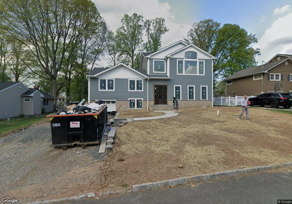
96 Westland Rd Cedar Grove, NJ 07009
Estimated Value: $747,000 - $859,000
--
Bed
--
Bath
1,970
Sq Ft
$412/Sq Ft
Est. Value
About This Home
This home is located at 96 Westland Rd, Cedar Grove, NJ 07009 and is currently estimated at $812,465, approximately $412 per square foot. 96 Westland Rd is a home located in Essex County with nearby schools including Cedar Grove High School, Our Lady of the Lake School, and St Catherine Of Siena School.
Ownership History
Date
Name
Owned For
Owner Type
Purchase Details
Closed on
Jul 31, 2025
Sold by
Wassef Ragae
Bought by
Gabriel Matthew Kamel and Gabriel Marie-Nicole Ragae
Current Estimated Value
Home Financials for this Owner
Home Financials are based on the most recent Mortgage that was taken out on this home.
Original Mortgage
$680,000
Outstanding Balance
$679,417
Interest Rate
6.77%
Mortgage Type
New Conventional
Estimated Equity
$133,048
Purchase Details
Closed on
Jul 23, 2024
Sold by
Essex County Sheriff
Bought by
Lehman Mortgage Trust and Wells Fargo Bank National Association
Purchase Details
Closed on
Jan 7, 2005
Sold by
Stoeckert Helen Carol
Bought by
Stoeckert Henry Lewis
Home Financials for this Owner
Home Financials are based on the most recent Mortgage that was taken out on this home.
Original Mortgage
$350,000
Interest Rate
6.95%
Mortgage Type
Adjustable Rate Mortgage/ARM
Create a Home Valuation Report for This Property
The Home Valuation Report is an in-depth analysis detailing your home's value as well as a comparison with similar homes in the area
Home Values in the Area
Average Home Value in this Area
Purchase History
| Date | Buyer | Sale Price | Title Company |
|---|---|---|---|
| Gabriel Matthew Kamel | $850,000 | Mega Title | |
| Lehman Mortgage Trust | $562,000 | None Listed On Document | |
| Stoeckert Henry Lewis | $310,000 | -- |
Source: Public Records
Mortgage History
| Date | Status | Borrower | Loan Amount |
|---|---|---|---|
| Open | Gabriel Matthew Kamel | $680,000 | |
| Previous Owner | Stoeckert Henry Lewis | $350,000 |
Source: Public Records
Tax History Compared to Growth
Tax History
| Year | Tax Paid | Tax Assessment Tax Assessment Total Assessment is a certain percentage of the fair market value that is determined by local assessors to be the total taxable value of land and additions on the property. | Land | Improvement |
|---|---|---|---|---|
| 2025 | $9,850 | $377,400 | $245,000 | $132,400 |
| 2024 | $9,850 | $377,400 | $245,000 | $132,400 |
| 2022 | $9,677 | $377,400 | $245,000 | $132,400 |
| 2021 | $9,560 | $377,400 | $245,000 | $132,400 |
| 2020 | $9,699 | $377,400 | $245,000 | $132,400 |
| 2019 | $9,477 | $377,400 | $245,000 | $132,400 |
| 2018 | $9,043 | $377,400 | $245,000 | $132,400 |
| 2017 | $8,944 | $377,400 | $245,000 | $132,400 |
| 2016 | $8,669 | $377,400 | $245,000 | $132,400 |
| 2015 | $8,469 | $377,400 | $245,000 | $132,400 |
| 2014 | $8,295 | $377,400 | $245,000 | $132,400 |
Source: Public Records
Map
Nearby Homes