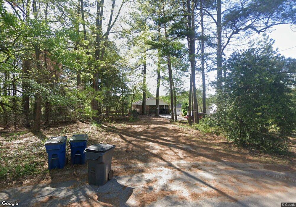
960 Bethsaida Rd Riverdale, GA 30296
Estimated Value: $168,000 - $275,000
3
Beds
2
Baths
1,618
Sq Ft
$136/Sq Ft
Est. Value
About This Home
This home is located at 960 Bethsaida Rd, Riverdale, GA 30296 and is currently estimated at $219,629, approximately $135 per square foot. 960 Bethsaida Rd is a home located in Clayton County with nearby schools including Church Street Elementary School, Riverdale Middle School, and Riverdale High School.
Ownership History
Date
Name
Owned For
Owner Type
Purchase Details
Closed on
Mar 20, 2019
Sold by
Bi Thu N
Bought by
960 Bethsaida Llc
Current Estimated Value
Purchase Details
Closed on
Jan 22, 2009
Sold by
Wells Fargo Bk 2004 Whq2
Bought by
Bi Thu N
Home Financials for this Owner
Home Financials are based on the most recent Mortgage that was taken out on this home.
Original Mortgage
$42,800
Interest Rate
5.24%
Mortgage Type
New Conventional
Purchase Details
Closed on
Sep 2, 2008
Sold by
Graves Samuel M
Bought by
Wells Fargo Bank Na 2004-Whq2
Purchase Details
Closed on
Oct 21, 2004
Sold by
Babb Charles E
Bought by
Graves Samuel M
Home Financials for this Owner
Home Financials are based on the most recent Mortgage that was taken out on this home.
Original Mortgage
$132,000
Interest Rate
8.83%
Mortgage Type
New Conventional
Create a Home Valuation Report for This Property
The Home Valuation Report is an in-depth analysis detailing your home's value as well as a comparison with similar homes in the area
Home Values in the Area
Average Home Value in this Area
Purchase History
| Date | Buyer | Sale Price | Title Company |
|---|---|---|---|
| 960 Bethsaida Llc | -- | -- | |
| Bi Thu N | $53,500 | -- | |
| Wells Fargo Bank Na 2004-Whq2 | $113,675 | -- | |
| Graves Samuel M | $165,000 | -- |
Source: Public Records
Mortgage History
| Date | Status | Borrower | Loan Amount |
|---|---|---|---|
| Previous Owner | Bi Thu N | $42,800 | |
| Previous Owner | Graves Samuel M | $132,000 |
Source: Public Records
Tax History Compared to Growth
Tax History
| Year | Tax Paid | Tax Assessment Tax Assessment Total Assessment is a certain percentage of the fair market value that is determined by local assessors to be the total taxable value of land and additions on the property. | Land | Improvement |
|---|---|---|---|---|
| 2024 | $2,848 | $73,000 | $15,440 | $57,560 |
| 2023 | $1,755 | $54,920 | $15,440 | $39,480 |
| 2022 | $1,539 | $44,600 | $15,440 | $29,160 |
| 2021 | $1,362 | $39,200 | $15,444 | $23,755 |
| 2020 | $1,375 | $39,200 | $15,444 | $23,756 |
| 2019 | $1,395 | $41,242 | $15,444 | $25,798 |
| 2018 | $1,176 | $33,040 | $15,444 | $17,596 |
| 2017 | $572 | $33,040 | $15,444 | $17,596 |
| 2016 | $1,128 | $37,168 | $15,444 | $21,723 |
| 2015 | $854 | $0 | $0 | $0 |
| 2014 | $848 | $24,400 | $14,644 | $9,756 |
Source: Public Records
Map
Nearby Homes
- 857 Excalibur Dr
- 7012 Church St
- 1044 Basswood Ct Unit 2
- 6992 Church St
- 7340 Chalk Way
- 1059 Soapstone Ln
- 838 Cormac Dr
- 7241 Grayson Dr
- 1061 Evans Dr
- 7356 Caribou Trail
- 6868 Cedar Hill Ct
- 7417 Fernwood Dr
- 6906 Shangrila Way
- 7156 Whitfield Dr
- 6897 Shangrila Way
- 7438 Chilton Ln
- 1341 Bethaven Rd
- 6865 Shangrila Way
- 1357 Bethaven Rd
- 1422 Amaryllis Way
- 1416 Amaryllis Way
- 7154 Hibiscus Ct
- 7148 Hibiscus Ct
- 7158 Hibiscus Ct Unit 44
- 7158 Hibiscus Ct
- 1410 Amaryllis Way
- 1430 Amaryllis Way
- 7142 Hibiscus Ct
- 7121 Greystone Dr
- 1404 Amaryllis Way
- 0 Amaryllis Way Unit 8729923
- 0 Amaryllis Way Unit 8427450
- 7162 Hibiscus Ct
- 0 Greystone Dr Unit 8555997
- 0 Greystone Dr Unit 7476900
- 0 Greystone Dr Unit 3173638
- 0 Greystone Dr Unit 3196427
- 0 Greystone Dr Unit 3242932
- 0 Greystone Dr Unit 7120497