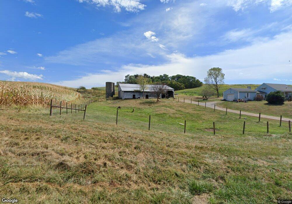
960 Coffman Rd Marietta, OH 45750
Estimated Value: $95,000 - $198,000
4
Beds
1
Bath
1,170
Sq Ft
$143/Sq Ft
Est. Value
About This Home
This home is located at 960 Coffman Rd, Marietta, OH 45750 and is currently estimated at $167,864, approximately $143 per square foot. 960 Coffman Rd is a home located in Washington County with nearby schools including Warren High School.
Ownership History
Date
Name
Owned For
Owner Type
Purchase Details
Closed on
Mar 5, 2021
Sold by
Coffman Dorothy J and Coffman Ralph D
Bought by
Coffman Heather and Coffman Michael
Current Estimated Value
Home Financials for this Owner
Home Financials are based on the most recent Mortgage that was taken out on this home.
Original Mortgage
$33,000
Outstanding Balance
$24,460
Interest Rate
2.7%
Mortgage Type
New Conventional
Estimated Equity
$143,404
Purchase Details
Closed on
Jul 28, 2016
Sold by
Coffman Dorothy J
Bought by
Coffman Michael and Coffman Heather
Home Financials for this Owner
Home Financials are based on the most recent Mortgage that was taken out on this home.
Original Mortgage
$29,500
Interest Rate
3.54%
Mortgage Type
Seller Take Back
Purchase Details
Closed on
Jun 21, 2016
Sold by
Estate Of Ralph D Coffman
Bought by
Coffman Dorothy J
Home Financials for this Owner
Home Financials are based on the most recent Mortgage that was taken out on this home.
Original Mortgage
$29,500
Interest Rate
3.54%
Mortgage Type
Seller Take Back
Create a Home Valuation Report for This Property
The Home Valuation Report is an in-depth analysis detailing your home's value as well as a comparison with similar homes in the area
Home Values in the Area
Average Home Value in this Area
Purchase History
| Date | Buyer | Sale Price | Title Company |
|---|---|---|---|
| Coffman Heather | $59,500 | None Available | |
| Coffman Michael | $59,500 | Attorney | |
| Coffman Dorothy J | -- | None Available |
Source: Public Records
Mortgage History
| Date | Status | Borrower | Loan Amount |
|---|---|---|---|
| Open | Coffman Heather | $33,000 | |
| Previous Owner | Coffman Michael | $29,500 |
Source: Public Records
Tax History Compared to Growth
Tax History
| Year | Tax Paid | Tax Assessment Tax Assessment Total Assessment is a certain percentage of the fair market value that is determined by local assessors to be the total taxable value of land and additions on the property. | Land | Improvement |
|---|---|---|---|---|
| 2024 | $1,821 | $47,910 | $10,770 | $37,140 |
| 2023 | $1,821 | $47,910 | $10,770 | $37,140 |
| 2022 | $1,817 | $47,910 | $10,770 | $37,140 |
| 2021 | $1,323 | $32,680 | $7,470 | $25,210 |
| 2020 | $1,316 | $32,680 | $7,470 | $25,210 |
| 2019 | $1,304 | $32,680 | $7,470 | $25,210 |
| 2018 | $1,209 | $29,380 | $6,500 | $22,880 |
| 2017 | $1,202 | $29,380 | $6,500 | $22,880 |
| 2016 | $1,495 | $29,380 | $6,500 | $22,880 |
| 2015 | $705 | $28,270 | $6,240 | $22,030 |
| 2014 | $1,455 | $28,270 | $6,240 | $22,030 |
| 2013 | $702 | $28,270 | $6,240 | $22,030 |
Source: Public Records
Map
Nearby Homes
- 65 High Point Dr
- 2021 Robinson Hill Rd
- 20645 Ohio 676
- 100 Pineview Dr
- 116 Pineview Dr
- 375 Belavista Dr
- 254 Riggenbach Hill Rd
- 565 Lang Farm Rd
- 305 Flintwood Dr
- 0 River Rd Unit Lot WP001
- 505 Harbor Point
- 204 Coventry Rd
- 0 Fisher Ridge Rd Tract 8
- 0 Fisher Ridge Rd Tract 7
- 0 Fisher Ridge Rd Tract 6
- 101 Laramie Rd
- 0 Fisher Ridge Rd Tract 5
- 117 Clark St
- 146 Riverview Dr
- 211 Beaver St
- 1067 Coffman Rd
- 804 Coffman Rd
- 747 Coffman Rd
- 690 Coffman Rd
- 18179 State Route 550
- 18191 State Route 550
- 681 Coffman Rd
- 18197 State Route 550
- 18185 State Route 550
- 18173 State Route 550
- 645 Coffman Rd
- 18033 State Route 550
- 18165 State Route 550
- 18077 State Route 550
- 580 Coffman Rd
- 18097 State Route 550
- 18155 State Route 550
- 587 Coffman Rd
- 17949 State Route 550
- 18305 State Route 550