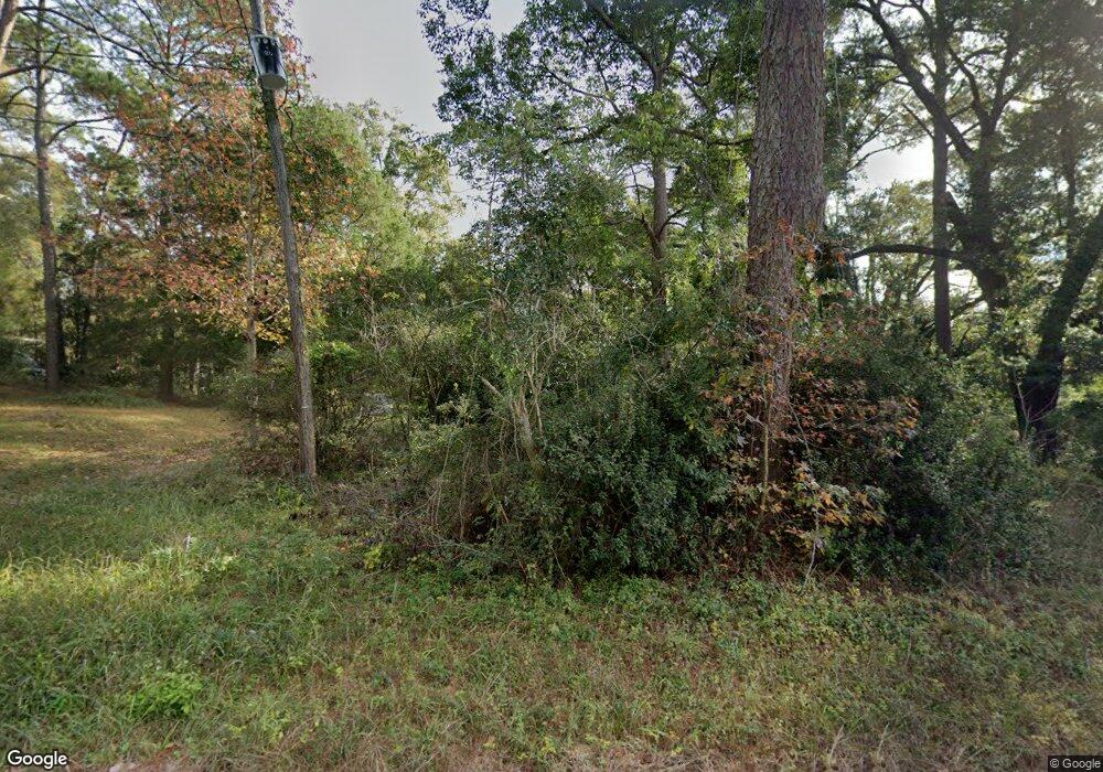
960 Forest Hill Dr Mobile, AL 36618
Bellewood NeighborhoodEstimated Value: $102,000 - $173,000
3
Beds
1
Bath
1,317
Sq Ft
$100/Sq Ft
Est. Value
About This Home
This home is located at 960 Forest Hill Dr, Mobile, AL 36618 and is currently estimated at $131,363, approximately $99 per square foot. 960 Forest Hill Dr is a home located in Mobile County with nearby schools including Forest Hill Elementary School, CL Scarborough Middle School, and Mattie T Blount High School.
Ownership History
Date
Name
Owned For
Owner Type
Purchase Details
Closed on
May 22, 2006
Sold by
Little Ernest Gibson and Little Sherry Ann
Bought by
Duff Jeffery G and Thrash Samantha J
Current Estimated Value
Home Financials for this Owner
Home Financials are based on the most recent Mortgage that was taken out on this home.
Original Mortgage
$12,825
Outstanding Balance
$8,122
Interest Rate
8.4%
Mortgage Type
Purchase Money Mortgage
Estimated Equity
$123,241
Purchase Details
Closed on
Apr 12, 2000
Sold by
Wright Rebecca Kay
Bought by
Wright Mark D
Create a Home Valuation Report for This Property
The Home Valuation Report is an in-depth analysis detailing your home's value as well as a comparison with similar homes in the area
Home Values in the Area
Average Home Value in this Area
Purchase History
| Date | Buyer | Sale Price | Title Company |
|---|---|---|---|
| Duff Jeffery G | -- | None Available | |
| Wright Mark D | -- | -- |
Source: Public Records
Mortgage History
| Date | Status | Borrower | Loan Amount |
|---|---|---|---|
| Open | Duff Jeffery G | $12,825 |
Source: Public Records
Tax History Compared to Growth
Tax History
| Year | Tax Paid | Tax Assessment Tax Assessment Total Assessment is a certain percentage of the fair market value that is determined by local assessors to be the total taxable value of land and additions on the property. | Land | Improvement |
|---|---|---|---|---|
| 2025 | $844 | $13,140 | $4,000 | $9,140 |
| 2024 | $844 | $6,530 | $2,000 | $4,530 |
| 2023 | $327 | $6,190 | $2,070 | $4,120 |
| 2022 | $329 | $6,240 | $1,800 | $4,440 |
| 2021 | $291 | $5,640 | $1,800 | $3,840 |
| 2020 | $291 | $5,640 | $1,800 | $3,840 |
| 2019 | $287 | $5,580 | $0 | $0 |
| 2018 | $336 | $6,340 | $0 | $0 |
| 2017 | $333 | $6,300 | $0 | $0 |
| 2016 | $325 | $6,180 | $0 | $0 |
| 2013 | $322 | $6,060 | $0 | $0 |
Source: Public Records
Map
Nearby Homes
- 1124 Forest Glen Dr N
- 4724 Tulane Dr
- 1204 Baylor Dr
- 1312 Forest Cove Dr
- 4924 Brooke Ct
- 1116 Druid Dr
- 3733 Dunstan Ct
- 1121 Stevens Ln
- 1204 Forest Dell Rd
- 1100 Bristol Ct
- 1116 Bristol Ct
- 18 York Place
- 259 Dilston Ln
- 914 David Langan Dr W
- 1510 Northview Dr
- 5001 Spring Park Dr S
- 1404 Stevens Ln
- 913 David Langan Dr W
- 4409 Moffett Rd
- 1553 Phillips Ln
- 4709 Pinewood Dr S
- 1000 Forest Hill Dr
- 4705 Pinewood Dr S
- 1001 Pinewood Dr W
- 1004 Forest Hill Dr
- 4701 Pinewood Dr S
- 1005 Pinewood Dr W
- 4803 Auburn Dr S
- 1008 Forest Hill Dr
- 1009 Pinewood Dr W
- 4807 Auburn Dr S
- 4800 Auburn Dr S
- 1012 Forest Hill Dr
- 1013 Pinewood Dr W
- 1012 Pinewood Dr W
- 4811 Auburn Dr S
- 4804 Auburn Dr S
- 4801 Chaudron Dr
- 1016 Forest Hill Dr
- 1015 Pinewood Dr W
