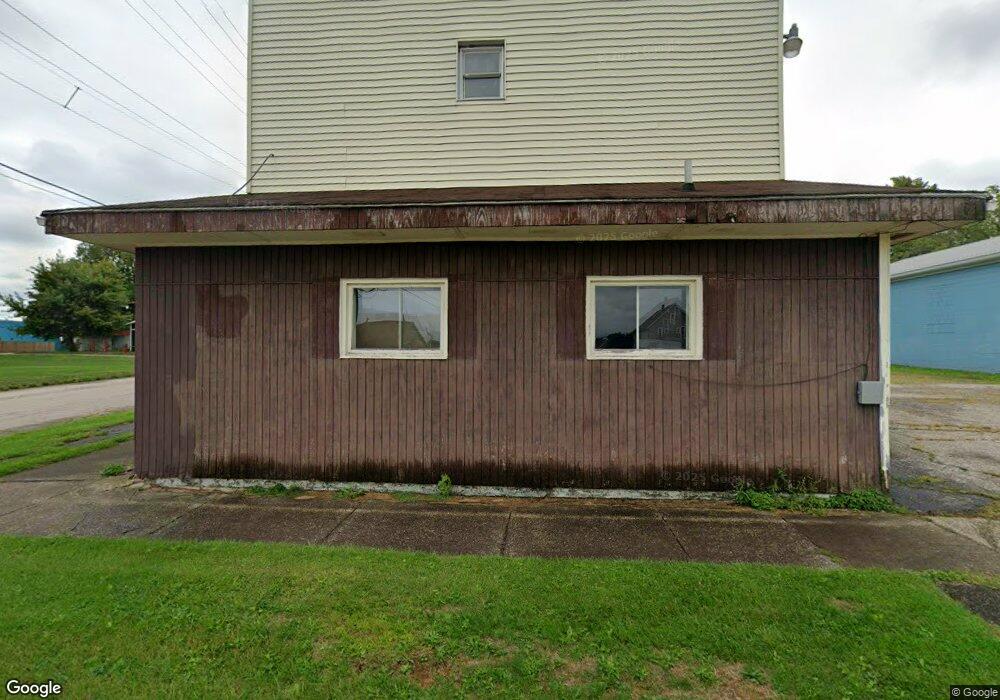
960 Harbor St Conneaut, OH 44030
Estimated Value: $214,582
1
Bed
3
Baths
3,701
Sq Ft
$58/Sq Ft
Est. Value
About This Home
This home is located at 960 Harbor St, Conneaut, OH 44030 and is currently estimated at $214,582, approximately $57 per square foot. 960 Harbor St is a home located in Ashtabula County with nearby schools including Lakeshore Primary Elementary School, Gateway Elementary School, and Conneaut Middle School.
Ownership History
Date
Name
Owned For
Owner Type
Purchase Details
Closed on
Nov 2, 2020
Sold by
Conneaut Port Authority
Bought by
Difilippo David and Difilippo Analynn Davianah
Current Estimated Value
Purchase Details
Closed on
Jul 15, 2017
Sold by
R & M Kent Llc
Bought by
The Conneaut Port Authority
Purchase Details
Closed on
Nov 22, 2000
Sold by
Ernst Marcus
Bought by
Kent Richard A and Kent Marjorie A
Home Financials for this Owner
Home Financials are based on the most recent Mortgage that was taken out on this home.
Original Mortgage
$72,000
Interest Rate
7.87%
Mortgage Type
Commercial
Create a Home Valuation Report for This Property
The Home Valuation Report is an in-depth analysis detailing your home's value as well as a comparison with similar homes in the area
Home Values in the Area
Average Home Value in this Area
Purchase History
| Date | Buyer | Sale Price | Title Company |
|---|---|---|---|
| Difilippo David | $7,500 | Title Professionals Group Lt | |
| The Conneaut Port Authority | -- | Franklin Blair Title Agency | |
| Kent Richard A | $90,000 | -- |
Source: Public Records
Mortgage History
| Date | Status | Borrower | Loan Amount |
|---|---|---|---|
| Previous Owner | Kent Richard A | $72,000 |
Source: Public Records
Tax History Compared to Growth
Tax History
| Year | Tax Paid | Tax Assessment Tax Assessment Total Assessment is a certain percentage of the fair market value that is determined by local assessors to be the total taxable value of land and additions on the property. | Land | Improvement |
|---|---|---|---|---|
| 2024 | $1,849 | $25,270 | $2,730 | $22,540 |
| 2023 | $1,577 | $25,270 | $2,730 | $22,540 |
| 2022 | $1,619 | $25,270 | $2,730 | $22,540 |
| 2021 | $1,646 | $25,270 | $2,730 | $22,540 |
| 2020 | $10 | $25,200 | $2,660 | $22,540 |
| 2019 | $10 | $27,620 | $1,610 | $26,010 |
| 2018 | $1,712 | $27,620 | $1,610 | $26,010 |
| 2017 | $1,696 | $27,620 | $1,610 | $26,010 |
| 2016 | $1,583 | $27,620 | $1,610 | $26,010 |
| 2015 | $5,075 | $27,620 | $1,610 | $26,010 |
| 2014 | $3,209 | $27,620 | $1,610 | $26,010 |
| 2013 | $1,659 | $33,710 | $2,660 | $31,050 |
Source: Public Records
Map
Nearby Homes