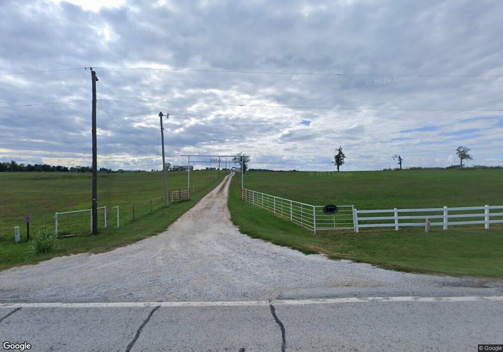
960 Highway 206 E Harrison, AR 72601
Estimated Value: $1,275,400
Studio
--
Bath
1,840
Sq Ft
$693/Sq Ft
Est. Value
About This Home
This home is located at 960 Highway 206 E, Harrison, AR 72601 and is currently estimated at $1,275,400, approximately $693 per square foot. 960 Highway 206 E is a home located in Boone County with nearby schools including Woodland Heights Elementary School and Harrison Jr. High School.
Ownership History
Date
Name
Owned For
Owner Type
Purchase Details
Closed on
Mar 10, 2025
Sold by
Black Raymond and Black Anna
Bought by
Blue Skies Properties Llc and Shady Oaks Campground And Rv Park Llc
Current Estimated Value
Home Financials for this Owner
Home Financials are based on the most recent Mortgage that was taken out on this home.
Original Mortgage
$900,000
Outstanding Balance
$892,663
Interest Rate
6.95%
Mortgage Type
Construction
Estimated Equity
$382,737
Purchase Details
Closed on
Jul 14, 2021
Sold by
Shady Oaks Campground Llc
Bought by
Black Raymond and Black Anna
Home Financials for this Owner
Home Financials are based on the most recent Mortgage that was taken out on this home.
Original Mortgage
$600,000
Interest Rate
2.9%
Mortgage Type
Purchase Money Mortgage
Purchase Details
Closed on
Oct 24, 2017
Sold by
Chchrane Terri L
Bought by
Shady Oaks Campground Llc
Purchase Details
Closed on
May 2, 2001
Bought by
Cochran
Create a Home Valuation Report for This Property
The Home Valuation Report is an in-depth analysis detailing your home's value as well as a comparison with similar homes in the area
Purchase History
| Date | Buyer | Sale Price | Title Company |
|---|---|---|---|
| Blue Skies Properties Llc | $1,265,000 | First National Title | |
| Black Raymond | $1,000,000 | First National Title | |
| Shady Oaks Campground Llc | $440,000 | First National Title Company | |
| Cochran | $145,000 | -- |
Source: Public Records
Mortgage History
| Date | Status | Borrower | Loan Amount |
|---|---|---|---|
| Open | Blue Skies Properties Llc | $900,000 | |
| Previous Owner | Black Raymond | $600,000 |
Source: Public Records
Tax History
| Year | Tax Paid | Tax Assessment Tax Assessment Total Assessment is a certain percentage of the fair market value that is determined by local assessors to be the total taxable value of land and additions on the property. | Land | Improvement |
|---|---|---|---|---|
| 2025 | $2,954 | $65,931 | $14,183 | $51,748 |
| 2024 | $1,393 | $31,100 | $14,180 | $16,920 |
| 2023 | $1,393 | $31,100 | $14,180 | $16,920 |
| 2022 | $1,430 | $31,100 | $14,180 | $16,920 |
| 2021 | $1,305 | $31,100 | $14,180 | $16,920 |
| 2020 | $1,066 | $25,740 | $14,200 | $11,540 |
| 2019 | $1,084 | $25,740 | $14,200 | $11,540 |
| 2018 | $1,084 | $25,740 | $14,200 | $11,540 |
| 2017 | $1,066 | $25,740 | $14,200 | $11,540 |
| 2016 | $1,066 | $25,740 | $14,200 | $11,540 |
| 2015 | $1,703 | $38,020 | $15,220 | $22,800 |
| 2014 | $1,460 | $38,020 | $15,220 | $22,800 |
Source: Public Records
Map
Nearby Homes
- 1330 Miller Ln
- 6555 Whispering Pine Rd
- 0 Prairie View Rd S
- TBD Jct 7 S & Gipp Annie Rd
- 16 Nc 3350
- 3970 Ozark Rd
- 3980 Ozark Rd
- 267B Nc 3320
- 267B Nc 332
- 0 Nc 2909 Unit 1300730
- 233 Nc 2800
- HC 73 Box 91 F
- 0 Erbie Rd
- 667 Nc 2800
- 0 Fork Creek Rd S
- 0 Erbie Cutoff Rd
- 119 Carr Ct
- Lot 34 Peaceful Place
- 7429 Watts Rd
- 2899 Bellefonte Rd
- 1236 Highway 206 E
- 6386 Elmwood Dr
- 6364 Elmwood Dr
- 6404 Elmwood Dr
- 6334 Elmwood Dr
- 6424 Elmwood Dr
- 6324 Elmwood Dr
- 6324 Elmwood Dr
- 6452 Elmwood Dr
- 6373 Elmwood Dr
- 6347 Elmwood Dr
- 6415 Elmwood Dr
- 1054 E Hwy 206
- 1054 Hwy 206
- 1054 Highway 206 E
- 206 E Highway 206 Ave
- 6471 Elmwood Dr
- 1667 Highway 206 E
- 6854 Prairie View Rd
- 978 Highway 206 E
Your Personal Tour Guide
Ask me questions while you tour the home.