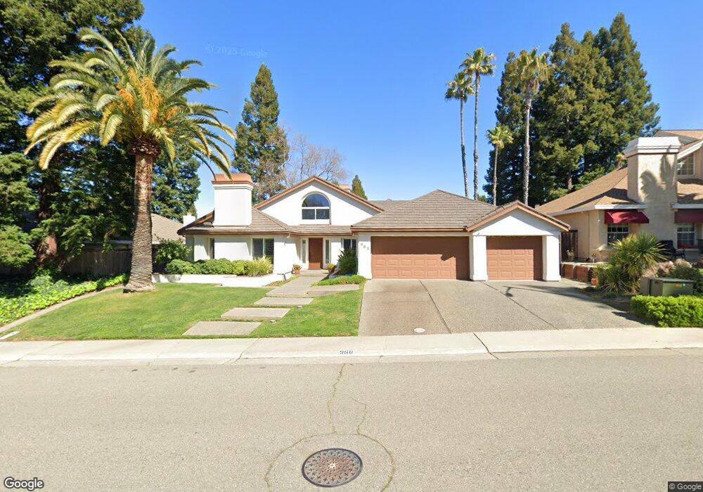
960 Keith Dr Roseville, CA 95661
Cirby Side NeighborhoodEstimated Value: $835,299 - $866,000
About This Home
This home is located at 960 Keith Dr, Roseville, CA 95661 and is currently estimated at $854,575, approximately $297 per square foot. 960 Keith Dr is a home located in Placer County with nearby schools including George Sargeant Elementary School, Warren T. Eich Middle School, and Oakmont High School.
Ownership History
We collect this data history from publicly available records. To have your information removed, we recommend requesting removal directly through your county’s website.
Purchase Details
Purchase Details
Home Financials for this Owner
Home Financials are based on the most recent Mortgage that was taken out on this home.Home Values in the Area
Average Home Value in this Area
Purchase History
We collect this data history from publicly available records. To have your information removed, we recommend requesting removal directly through your county’s website.
| Date | Buyer | Sale Price | Title Company |
|---|---|---|---|
| -- | None Available | ||
| -- | None Available | ||
| $285,000 | First American Title Co |
Mortgage History
We collect this data history from publicly available records. To have your information removed, we recommend requesting removal directly through your county’s website.
| Date | Status | Borrower | Loan Amount |
|---|---|---|---|
| Previous Owner | $256,500 |
Tax History
We collect this data history from publicly available records. To have your information removed, we recommend requesting removal directly through your county’s website.
| Year | Tax Paid | Tax Assessment Tax Assessment Total Assessment is a certain percentage of the fair market value that is determined by local assessors to be the total taxable value of land and additions on the property. | Land | Improvement |
|---|---|---|---|---|
| 2025 | $4,588 | $455,043 | $136,507 | $318,536 |
| 2023 | $4,588 | $437,375 | $131,207 | $306,168 |
| 2022 | $4,513 | $428,800 | $128,635 | $300,165 |
| 2021 | $4,408 | $420,393 | $126,113 | $294,280 |
| 2020 | $4,394 | $416,083 | $124,820 | $291,263 |
| 2019 | $4,335 | $407,925 | $122,373 | $285,552 |
| 2018 | $4,170 | $399,927 | $119,974 | $279,953 |
| 2017 | $4,124 | $392,086 | $117,622 | $274,464 |
| 2016 | $4,155 | $384,399 | $115,316 | $269,083 |
| 2015 | $4,073 | $378,626 | $113,584 | $265,042 |
| 2014 | $4,011 | $371,211 | $111,360 | $259,851 |
Map
- 1106 Nob Hill Ct
- 7636 Linden Ave
- 8425 Pearl Way
- 8417 Fair Way
- 8240 Patton Ave
- 8232 Patton Ave
- 8233 Fair Way
- 8258 Holly Dr
- 1364 Sun Tree Dr
- 1204 Schooner Dr
- 8213 Catalpa Dr
- 1204 Squire Ct
- 223 Live Oak Cir Unit 62
- 123 Valley Oak Dr Unit 34
- 7437 Auburn Oaks Ct Unit E
- 7441 Auburn Oaks Ct Unit P
- 7441 Auburn Oaks Ct Unit 14
- 1142 Meadow Gate Dr
- 1314 Carnation Ct
- 1418 Mother Lode Dr
Ask me questions while you tour the home.