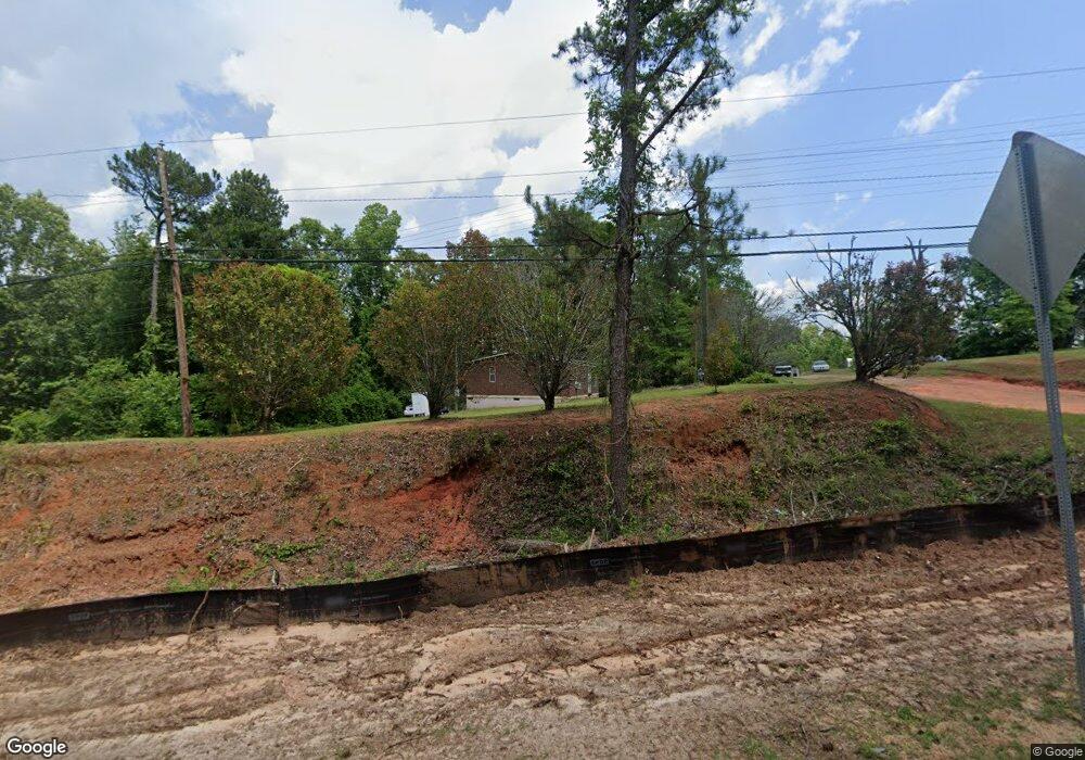
960 Macon Rd Mc Intyre, GA 31054
Estimated Value: $147,090 - $203,000
4
Beds
2
Baths
2,626
Sq Ft
$66/Sq Ft
Est. Value
About This Home
This home is located at 960 Macon Rd, Mc Intyre, GA 31054 and is currently estimated at $173,773, approximately $66 per square foot. 960 Macon Rd is a home located in Wilkinson County with nearby schools including Wilkinson County Primary School, Wilkinson County Elementary School, and Wilkinson County Middle School.
Ownership History
Date
Name
Owned For
Owner Type
Purchase Details
Closed on
Jun 8, 2007
Sold by
Warren Robert L
Bought by
Pennington James C
Current Estimated Value
Home Financials for this Owner
Home Financials are based on the most recent Mortgage that was taken out on this home.
Original Mortgage
$114,632
Outstanding Balance
$69,800
Interest Rate
6.1%
Mortgage Type
New Conventional
Estimated Equity
$103,973
Purchase Details
Closed on
May 1, 2006
Sold by
Hogan Willie James
Bought by
Warren Robert L and Warren Seeney-Moody Frances
Create a Home Valuation Report for This Property
The Home Valuation Report is an in-depth analysis detailing your home's value as well as a comparison with similar homes in the area
Home Values in the Area
Average Home Value in this Area
Purchase History
| Date | Buyer | Sale Price | Title Company |
|---|---|---|---|
| Pennington James C | $114,632 | -- | |
| Warren Robert L | $65,000 | -- |
Source: Public Records
Mortgage History
| Date | Status | Borrower | Loan Amount |
|---|---|---|---|
| Open | Pennington James C | $114,632 |
Source: Public Records
Tax History Compared to Growth
Tax History
| Year | Tax Paid | Tax Assessment Tax Assessment Total Assessment is a certain percentage of the fair market value that is determined by local assessors to be the total taxable value of land and additions on the property. | Land | Improvement |
|---|---|---|---|---|
| 2024 | $1,154 | $33,633 | $4,160 | $29,473 |
| 2023 | $1,621 | $43,997 | $3,680 | $40,317 |
| 2022 | $1,606 | $43,597 | $3,680 | $39,917 |
| 2021 | $1,623 | $43,597 | $3,680 | $39,917 |
| 2020 | $1,624 | $43,597 | $3,680 | $39,917 |
| 2019 | $1,624 | $43,597 | $3,680 | $39,917 |
| 2018 | $1,624 | $46,765 | $3,680 | $43,085 |
| 2017 | $1,635 | $46,765 | $3,680 | $43,085 |
| 2016 | $1,645 | $46,765 | $3,680 | $43,085 |
| 2015 | $1,537 | $46,764 | $3,680 | $43,085 |
| 2014 | $1,537 | $46,765 | $3,680 | $43,085 |
| 2013 | $1,537 | $46,764 | $3,680 | $43,084 |
Source: Public Records
Map
Nearby Homes
- 110 Magnolia Dr
- 0 Magnolia Dr
- 0 Asbell Rd
- --- Asbell Rd
- 0 Davis Cemetery Rd
- 9 Sunflower Rd
- 102 Asbell St
- 103 E Main St
- 15110 Georgia 57
- 56 Claymont Rd
- 00 Wriley Rd
- 498 White Springs Church Rd
- 0 Us-441 S
- C T Lord Hwy
- 88 Caroline Dr
- 110 Irwinton Rd
- 6620 Jr Sims Rd
- 6620 J R Sims Rd Unit LotWP001
- 0 Industrial Blvd Unit 52833
- 137 Lakeview Dr S
- 950 Macon Rd
- 905 Macon Rd
- 0 Lot 87 MacOn Rd Unit 39372
- 0 Lot 87 MacOn Rd Unit 41079
- 898 Macon Rd
- 2257 Asbell Rd
- 170 Macon Rd
- 941 Macon Rd
- 890 Macon Rd
- 855 Macon Rd
- 850 Macon Rd
- 2199 Asbell Rd
- 806 Macon Rd
- 166 Macon Rd
- 2183 Asbell Rd
- 2167 Asbell Rd
- 2185 Asbell Rd
- 162 Macon Rd
- 2157 Asbell Rd
- 160 Macon Rd
