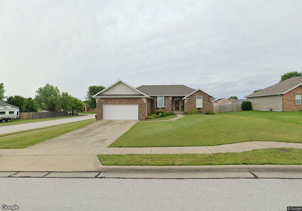
960 Megan Ln Willard, MO 65781
Estimated Value: $266,315 - $294,000
About This Home
This home is located at 960 Megan Ln, Willard, MO 65781 and is currently estimated at $282,079, approximately $173 per square foot. 960 Megan Ln is a home located in Greene County with nearby schools including Willard Central Elementary School and Willard Intermediate School North.
Ownership History
We collect this data history from publicly available records. To have your information removed, we recommend requesting removal directly through your county’s website.
Purchase Details
Home Financials for this Owner
Home Financials are based on the most recent Mortgage that was taken out on this home.Home Values in the Area
Average Home Value in this Area
Purchase History
We collect this data history from publicly available records. To have your information removed, we recommend requesting removal directly through your county’s website.
| Date | Buyer | Sale Price | Title Company |
|---|---|---|---|
| -- | Nationwide Title Clearing | ||
| -- | Choice Escrow & Land Title L | ||
| -- | Willard Title & Escrow |
Mortgage History
We collect this data history from publicly available records. To have your information removed, we recommend requesting removal directly through your county’s website.
| Date | Status | Borrower | Loan Amount |
|---|---|---|---|
| Closed | $171,000 | ||
| Closed | $136,800 | ||
| Closed | $117,965 |
Tax History
We collect this data history from publicly available records. To have your information removed, we recommend requesting removal directly through your county’s website.
| Year | Tax Paid | Tax Assessment Tax Assessment Total Assessment is a certain percentage of the fair market value that is determined by local assessors to be the total taxable value of land and additions on the property. | Land | Improvement |
|---|---|---|---|---|
| 2025 | $2,010 | $33,350 | $5,700 | $27,650 |
| 2024 | $1,770 | $28,580 | $4,370 | $24,210 |
| 2023 | $1,765 | $28,580 | $4,370 | $24,210 |
| 2022 | $1,522 | $25,060 | $4,370 | $20,690 |
| 2021 | $1,520 | $25,060 | $4,370 | $20,690 |
| 2020 | $1,547 | $25,060 | $4,370 | $20,690 |
| 2019 | $1,539 | $25,060 | $4,370 | $20,690 |
| 2018 | $1,553 | $24,910 | $4,370 | $20,540 |
| 2017 | $1,542 | $24,910 | $4,370 | $20,540 |
| 2016 | $1,538 | $24,910 | $4,370 | $20,540 |
| 2015 | $1,523 | $24,910 | $4,370 | $20,540 |
| 2014 | $1,541 | $24,910 | $4,370 | $20,540 |
Map
- 723 Becky St
- 4220 N Farm Road 103
- 524 E Logan St
- 835 Saratoga Rd
- 465 E War Horse Ln
- 486 Stone Creek Rd
- 484 Stone Creek Rd
- 483 Stone Creek Rd
- 491 Stone Creek Rd
- 476 Stone Creek Rd
- 481 Stone Creek Rd
- 477 Stone Creek Rd
- 475 Stone Creek Rd
- 470 Stone Creek Rd
- 473 Stone Creek Rd
- 821 Hoffman Hills Blvd
- 823 Hoffman Hills Blvd
- 813 Hoffman Hills Blvd
- 479 S Summit Dr
- 811 Hoffman Hills Blvd
Ask me questions while you tour the home.