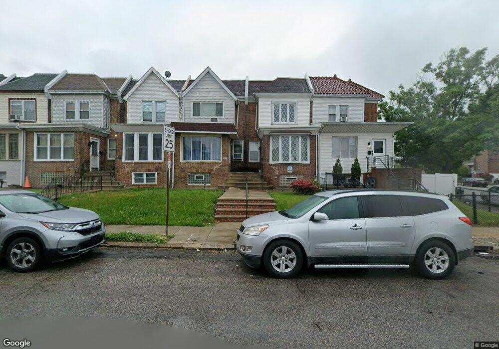
960 Pratt St Philadelphia, PA 19124
Lawncrest NeighborhoodEstimated Value: $186,000 - $237,000
3
Beds
1
Bath
1,392
Sq Ft
$156/Sq Ft
Est. Value
About This Home
This home is located at 960 Pratt St, Philadelphia, PA 19124 and is currently estimated at $216,907, approximately $155 per square foot. 960 Pratt St is a home located in Philadelphia County with nearby schools including Laura H Carnell School, Harding Warren G Middle School, and Samuel Fels High School.
Ownership History
Date
Name
Owned For
Owner Type
Purchase Details
Closed on
Sep 15, 2016
Sold by
Erazo Aberl
Bought by
West Lisa
Current Estimated Value
Home Financials for this Owner
Home Financials are based on the most recent Mortgage that was taken out on this home.
Original Mortgage
$108,007
Outstanding Balance
$88,472
Interest Rate
4.25%
Mortgage Type
FHA
Estimated Equity
$128,435
Purchase Details
Closed on
Dec 12, 1994
Sold by
Murgitroyde Elizabeth C
Bought by
Erazo Abel
Create a Home Valuation Report for This Property
The Home Valuation Report is an in-depth analysis detailing your home's value as well as a comparison with similar homes in the area
Home Values in the Area
Average Home Value in this Area
Purchase History
| Date | Buyer | Sale Price | Title Company |
|---|---|---|---|
| West Lisa | $110,000 | None Available | |
| Erazo Abel | $56,900 | -- |
Source: Public Records
Mortgage History
| Date | Status | Borrower | Loan Amount |
|---|---|---|---|
| Open | West Lisa | $108,007 |
Source: Public Records
Tax History Compared to Growth
Tax History
| Year | Tax Paid | Tax Assessment Tax Assessment Total Assessment is a certain percentage of the fair market value that is determined by local assessors to be the total taxable value of land and additions on the property. | Land | Improvement |
|---|---|---|---|---|
| 2025 | $2,149 | $194,900 | $38,980 | $155,920 |
| 2024 | $2,149 | $194,900 | $38,980 | $155,920 |
| 2023 | $2,149 | $153,500 | $30,700 | $122,800 |
| 2022 | $1,440 | $153,500 | $30,700 | $122,800 |
| 2021 | $1,440 | $0 | $0 | $0 |
| 2020 | $1,440 | $0 | $0 | $0 |
| 2019 | $1,383 | $0 | $0 | $0 |
| 2018 | $1,386 | $0 | $0 | $0 |
| 2017 | $1,386 | $0 | $0 | $0 |
| 2016 | $966 | $0 | $0 | $0 |
| 2015 | $925 | $0 | $0 | $0 |
| 2014 | -- | $99,000 | $21,798 | $77,202 |
| 2012 | -- | $12,992 | $2,188 | $10,804 |
Source: Public Records
Map
Nearby Homes
- 5505 Loretto Ave
- 938 Marcella St
- 972 Bridge St
- 4046 E Roosevelt Blvd
- 894 Granite St
- 951 Wakeling St
- 934 Brill St
- 5640 Miriam Rd
- 883 Brill St
- 894 E Sanger St
- 5659 Miriam Rd
- 925 E Sanger St
- 5661 Miriam Rd
- 875 Foulkrod St
- 854 E Sanger St
- 991 Carver St
- 1048 Bridge St
- 996 Anchor St
- 929 1/2 Anchor St
- 1859 Harrison St