960 River Ridge Rd Mebane, NC 27302
Estimated Value: $789,000 - $946,000
4
Beds
4
Baths
3,680
Sq Ft
$232/Sq Ft
Est. Value
About This Home
This home is located at 960 River Ridge Rd, Mebane, NC 27302 and is currently estimated at $853,409, approximately $231 per square foot. 960 River Ridge Rd is a home located in Alamance County with nearby schools including E.M. Yoder Elementary School, Woodlawn Middle School, and Eastern Alamance High School.
Ownership History
Date
Name
Owned For
Owner Type
Purchase Details
Closed on
Feb 14, 2019
Sold by
Troxler Martthew G and Troxler Martha Y
Bought by
Brown Len Wayne and Brown Collette Suzanne
Current Estimated Value
Home Financials for this Owner
Home Financials are based on the most recent Mortgage that was taken out on this home.
Original Mortgage
$437,000
Outstanding Balance
$383,418
Interest Rate
4.4%
Mortgage Type
New Conventional
Estimated Equity
$469,991
Purchase Details
Closed on
Mar 29, 1995
Bought by
Troxler Matthew G and Troxler Martha Y
Create a Home Valuation Report for This Property
The Home Valuation Report is an in-depth analysis detailing your home's value as well as a comparison with similar homes in the area
Home Values in the Area
Average Home Value in this Area
Purchase History
| Date | Buyer | Sale Price | Title Company |
|---|---|---|---|
| Brown Len Wayne | $460,000 | Attorney | |
| Troxler Matthew G | $330,000 | -- |
Source: Public Records
Mortgage History
| Date | Status | Borrower | Loan Amount |
|---|---|---|---|
| Open | Brown Len Wayne | $437,000 |
Source: Public Records
Tax History Compared to Growth
Tax History
| Year | Tax Paid | Tax Assessment Tax Assessment Total Assessment is a certain percentage of the fair market value that is determined by local assessors to be the total taxable value of land and additions on the property. | Land | Improvement |
|---|---|---|---|---|
| 2025 | $3,663 | $649,543 | $155,289 | $494,254 |
| 2024 | $3,501 | $649,543 | $155,289 | $494,254 |
| 2023 | $3,244 | $649,543 | $155,289 | $494,254 |
| 2022 | $2,839 | $377,970 | $66,416 | $311,554 |
| 2021 | $2,877 | $377,970 | $66,416 | $311,554 |
| 2020 | $2,915 | $377,970 | $66,416 | $311,554 |
| 2019 | $2,929 | $377,970 | $66,416 | $311,554 |
| 2018 | $0 | $377,970 | $66,416 | $311,554 |
| 2017 | $2,576 | $377,970 | $66,416 | $311,554 |
| 2016 | $2,404 | $350,878 | $71,771 | $279,107 |
| 2015 | $2,394 | $351,270 | $71,771 | $279,499 |
| 2014 | -- | $432,311 | $152,812 | $279,499 |
Source: Public Records
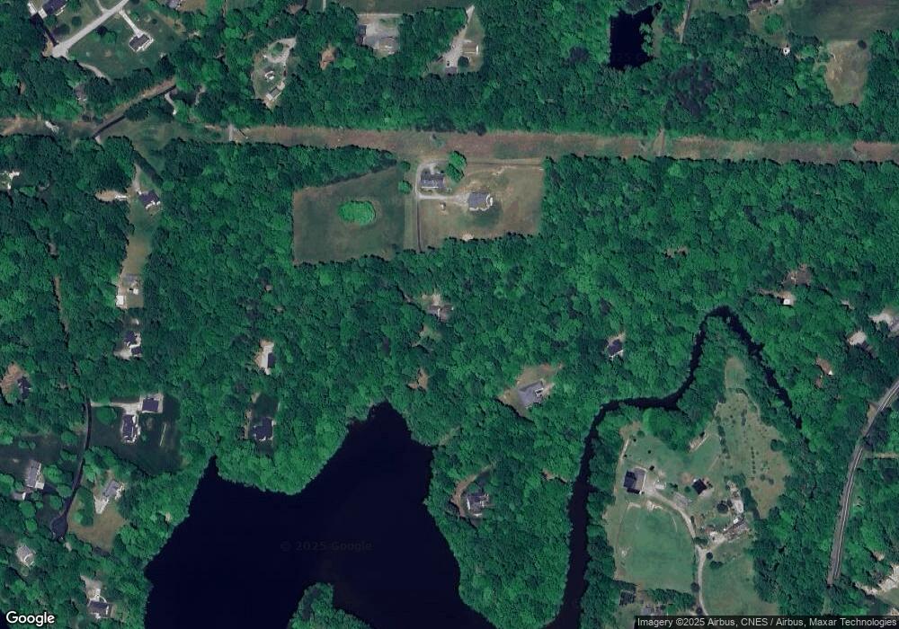
Map
Nearby Homes
- 1002 Pleasant Dr
- 106 Garrison Farm Rd
- 3750 Mebane Rogers Rd
- 0 W Lake Trail Unit 10126145
- 0 W Lake Trail Unit 10127843
- 3656 Bason Rd
- 3542 Bason Rd
- 702 Sam Snead Dr
- 1289 Hammond Dr
- 1273 Hammond Dr
- 1239 Hammond Dr
- Litchfield Plan at North First Street Townes
- 701 N Carr St
- 1853 Miles Chapel Rd
- 1244 Hammond Dr
- 1240 Hammond Dr
- 121 Walter Hagen Dr
- 1226 Hammond Dr
- 1137 Tembrook Dr
- 960 River Ridge Rd
- 960 River Ridge Rd Unit 2
- 960 River Ridge Rd Unit 2
- 4201 White Level Rd
- 2294 River Ridge Rd
- 908 River Ridge Rd
- 2289 River Ridge Rd
- 950 River Ridge Rd
- 950 River Ridge Rd
- 925 River Ridge Rd
- 935 River Ridge Rd
- 1037 Quaker Ridge Rd
- Lot 0 River Ridge Rd
- 0 River Ridge Rd
- Lot 7 River Ridge Rd
- Lot 2 River Ridge Rd
- 4115 White Level Rd
- 4133 White Level Rd
- 4075A White Level Rd
- 4075 White Level Rd