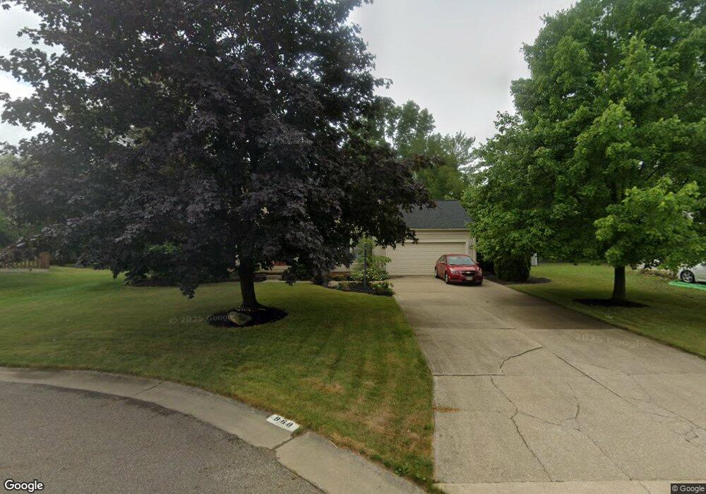
960 S Commons Cir NE Canton, OH 44721
Estimated Value: $381,212 - $430,000
4
Beds
3
Baths
2,884
Sq Ft
$140/Sq Ft
Est. Value
About This Home
This home is located at 960 S Commons Cir NE, Canton, OH 44721 and is currently estimated at $403,803, approximately $140 per square foot. 960 S Commons Cir NE is a home located in Stark County with nearby schools including Charles L. Warstler Elementary School, Oakwood Middle School, and GlenOak High School.
Ownership History
Date
Name
Owned For
Owner Type
Purchase Details
Closed on
Sep 28, 2007
Sold by
Ragon Matthew S and Ragon Stacy A
Bought by
Miller Tracy L and Miller Tammy
Current Estimated Value
Home Financials for this Owner
Home Financials are based on the most recent Mortgage that was taken out on this home.
Original Mortgage
$208,500
Outstanding Balance
$133,216
Interest Rate
6.66%
Mortgage Type
Purchase Money Mortgage
Estimated Equity
$270,587
Purchase Details
Closed on
Jan 27, 2001
Sold by
Kerlik Michael F and Kerlik Karen F
Bought by
Ragon Matthew S and Ragon Stacy A
Home Financials for this Owner
Home Financials are based on the most recent Mortgage that was taken out on this home.
Original Mortgage
$158,625
Interest Rate
7.43%
Mortgage Type
Purchase Money Mortgage
Purchase Details
Closed on
Apr 3, 1991
Purchase Details
Closed on
Mar 26, 1991
Create a Home Valuation Report for This Property
The Home Valuation Report is an in-depth analysis detailing your home's value as well as a comparison with similar homes in the area
Home Values in the Area
Average Home Value in this Area
Purchase History
| Date | Buyer | Sale Price | Title Company |
|---|---|---|---|
| Miller Tracy L | $208,500 | Attorney | |
| Ragon Matthew S | $176,300 | -- | |
| -- | $144,100 | -- | |
| -- | -- | -- |
Source: Public Records
Mortgage History
| Date | Status | Borrower | Loan Amount |
|---|---|---|---|
| Open | Miller Tracy L | $208,500 | |
| Closed | Ragon Matthew S | $158,625 |
Source: Public Records
Tax History Compared to Growth
Tax History
| Year | Tax Paid | Tax Assessment Tax Assessment Total Assessment is a certain percentage of the fair market value that is determined by local assessors to be the total taxable value of land and additions on the property. | Land | Improvement |
|---|---|---|---|---|
| 2025 | -- | $139,660 | $31,750 | $107,910 |
| 2024 | -- | $131,920 | $31,750 | $100,170 |
| 2023 | $4,015 | $86,210 | $22,330 | $63,880 |
| 2022 | $4,033 | $86,210 | $22,330 | $63,880 |
| 2021 | $4,051 | $86,210 | $22,330 | $63,880 |
| 2020 | $3,876 | $75,080 | $19,250 | $55,830 |
| 2019 | $3,844 | $75,080 | $19,250 | $55,830 |
| 2018 | $3,796 | $75,080 | $19,250 | $55,830 |
| 2017 | $3,914 | $71,090 | $18,800 | $52,290 |
| 2016 | $3,924 | $71,090 | $18,800 | $52,290 |
| 2015 | $1,897 | $71,090 | $18,800 | $52,290 |
| 2014 | $1,443 | $63,110 | $16,700 | $46,410 |
| 2013 | $1,678 | $63,110 | $16,700 | $46,410 |
Source: Public Records
Map
Nearby Homes
- 1023 55th St NE
- 5845 Royal Hill Cir NE
- 5315 Loma Linda Ln NE
- 5225 Loma Linda Ln NE
- 404 Brookpoint St NW
- 308 52nd St NW
- 4904 Market Ave N
- 5111 Johnnycake Ridge NE
- 808 47th St NE
- 1920 Birk Cir NE
- 4654 Beverly Ave NE
- 1573 Lancaster Gate SE
- 1514 Lancaster Gate SE
- 1614 Bellview St NE
- 1527 Alexandria Pkwy SE
- 1542 Alexandria Pkwy SE
- 2317 Raintree St NE
- 657 Hannah Cir NW
- 815 44th St NE
- 1402 Schneider St NW
- 956 S Commons Cir NE
- 964 S Commons Cir NE
- 941 Southmoor Cir NE
- 944 S Commons Cir NE
- 955 Southmoor Cir NE
- 959 S Commons Cir NE
- 955 S Commons Cir NE
- 963 S Commons Cir NE
- 931 Southmoor Cir NE
- 938 S Commons Cir NE
- 943 S Commons Cir NE
- 5557 Loma Linda Ln NE
- 5537 Loma Linda Ln NE
- 939 S Commons Cir NE
- 954 Southmoor Cir NE
- 1100 Cobblefield St NE
- 1110 Cobblefield St NE
- 926 S Commons Cir NE
- 948 Southmoor Cir NE
- 1028 Cobblefield St NE