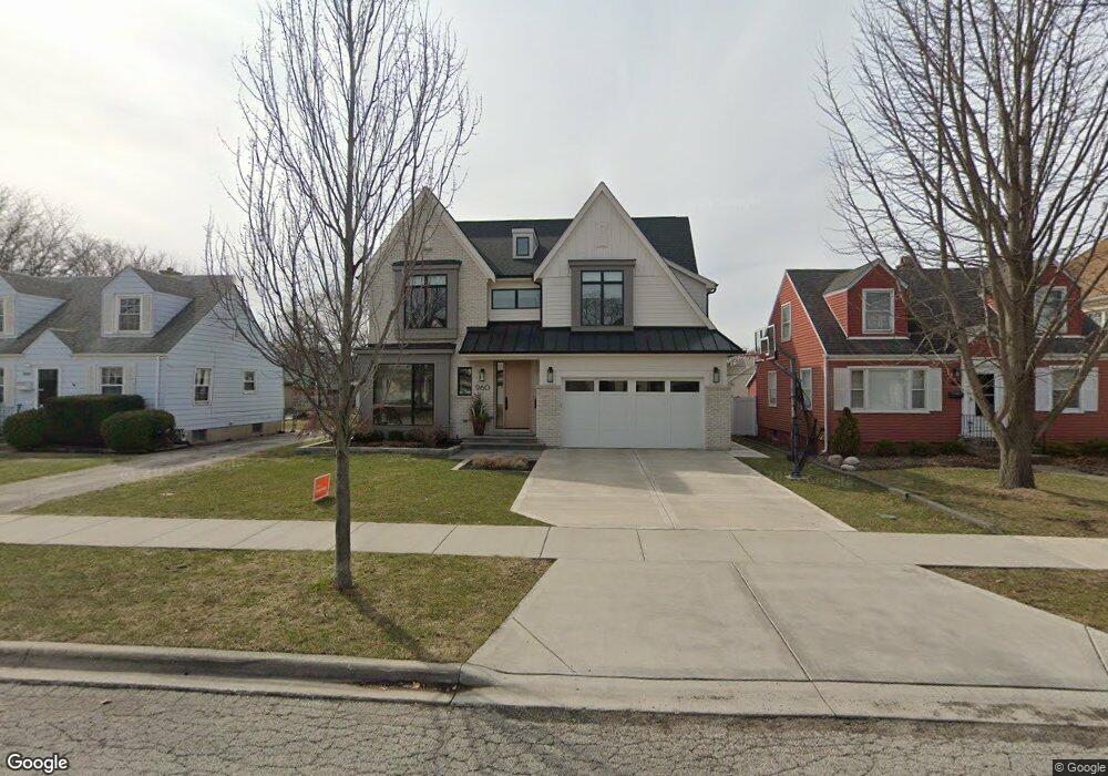
960 S Mitchell Ave Elmhurst, IL 60126
Estimated Value: $1,318,000 - $1,552,480
Studio
--
Bath
3,830
Sq Ft
$368/Sq Ft
Est. Value
About This Home
This home is located at 960 S Mitchell Ave, Elmhurst, IL 60126 and is currently estimated at $1,408,370, approximately $367 per square foot. 960 S Mitchell Ave is a home located in DuPage County with nearby schools including Jackson Elementary School, Bryan Middle School, and York Community High School.
Ownership History
Date
Name
Owned For
Owner Type
Purchase Details
Closed on
Feb 25, 2019
Sold by
Clark Nancy A
Bought by
Mcpartlin Christopher L and Mcpartlin Anne O
Current Estimated Value
Purchase Details
Closed on
Jan 15, 1997
Sold by
Clark Ralph D and Clark Nancy D
Bought by
Clark Nancy D
Home Financials for this Owner
Home Financials are based on the most recent Mortgage that was taken out on this home.
Original Mortgage
$105,950
Interest Rate
7.75%
Create a Home Valuation Report for This Property
The Home Valuation Report is an in-depth analysis detailing your home's value as well as a comparison with similar homes in the area
Home Values in the Area
Average Home Value in this Area
Purchase History
| Date | Buyer | Sale Price | Title Company |
|---|---|---|---|
| Mcpartlin Christopher L | $310,000 | Old Republic Title | |
| Clark Nancy D | -- | Mid America Title Company |
Source: Public Records
Mortgage History
| Date | Status | Borrower | Loan Amount |
|---|---|---|---|
| Previous Owner | Clark Nancy D | $105,950 |
Source: Public Records
Tax History
| Year | Tax Paid | Tax Assessment Tax Assessment Total Assessment is a certain percentage of the fair market value that is determined by local assessors to be the total taxable value of land and additions on the property. | Land | Improvement |
|---|---|---|---|---|
| 2024 | $26,265 | $443,817 | $87,961 | $355,856 |
| 2023 | $24,430 | $410,410 | $81,340 | $329,070 |
| 2022 | $23,558 | $394,500 | $78,180 | $316,320 |
| 2021 | $22,986 | $384,690 | $76,240 | $308,450 |
| 2020 | $10,289 | $74,570 | $74,570 | $0 |
| 2019 | $5,860 | $106,140 | $70,910 | $35,230 |
| 2018 | $4,599 | $110,210 | $67,120 | $43,090 |
| 2017 | $4,730 | $105,020 | $63,960 | $41,060 |
| 2016 | $4,927 | $98,930 | $60,250 | $38,680 |
| 2015 | $5,254 | $92,160 | $56,130 | $36,030 |
| 2014 | $5,720 | $86,790 | $44,550 | $42,240 |
| 2013 | $5,576 | $88,010 | $45,180 | $42,830 |
Source: Public Records
Map
Nearby Homes
- 936 S Mitchell Ave
- 878 S Parkside Ave
- 868 S Spring Rd
- 849 S Swain Ave
- 881 S Bryan St
- 110 W Butterfield Rd Unit 502S
- 857 S Euclid Ave
- 769 S Prospect Ave
- 1200 S Prospect Ave Unit 108
- 742 S Saylor Ave
- 465 W Verret St
- 696 S Prospect Ave
- 1S045 Spring Rd Unit H2
- 1S045 Spring Rd Unit 1D
- 918 S Cambridge Ave
- 1S055 Spring Rd Unit 2C
- 769 S Fairview Ave
- 680 S Bryan St
- 837 S Kearsage Ave
- 130 Crab Apple Ln
- 956 S Mitchell Ave
- 964 S Mitchell Ave
- 952 S Mitchell Ave
- 972 S Mitchell Ave
- 948 S Mitchell Ave
- 973 S Swain Ave
- 965 S Mitchell Ave
- 961 S Mitchell Ave
- 969 S Mitchell Ave
- 971 S Swain Ave
- 959 S Swain Ave
- 967 S Swain Ave
- 953 S Mitchell Ave
- 944 S Mitchell Ave
- 975 S Swain Ave
- 982 S Mitchell Ave
- 949 S Mitchell Ave
- 955 S Swain Ave
- 951 S Swain Ave
- 940 S Mitchell Ave
Your Personal Tour Guide
Ask me questions while you tour the home.