Estimated Value: $122,000 - $219,000
Studio
--
Bath
1,196
Sq Ft
$132/Sq Ft
Est. Value
About This Home
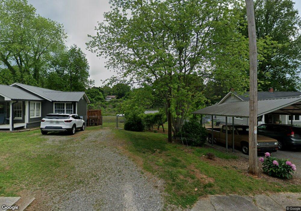
This home is located at 960 S Station St, Tate, GA 30177 and is currently estimated at $157,689, approximately $131 per square foot. 960 S Station St is a home with nearby schools including Tate Elementary School, Pickens County Middle School, and Pickens County High School.
Ownership History
Date
Name
Owned For
Owner Type
Purchase Details
Closed on
Dec 11, 2020
Sold by
Gifford David Hugh
Bought by
Prince Peggy
Current Estimated Value
Purchase Details
Closed on
Jan 24, 2018
Sold by
Cda Rentals Llc
Bought by
Prince Peggy and Gifford David Hugh
Purchase Details
Closed on
Jul 20, 2017
Sold by
Ware Mike
Bought by
Cda Rentals Llc
Purchase Details
Closed on
Jun 8, 2017
Sold by
Estat Mcallister Dorothy B
Bought by
Ware Mike
Purchase Details
Closed on
Dec 13, 1995
Sold by
Blackwell Blackwell M and Blackwell E
Bought by
Mcallister Dorothy B
Purchase Details
Closed on
Jul 16, 1946
Bought by
Blackwell Blackwell M and Blackwell E
Create a Home Valuation Report for This Property
The Home Valuation Report is an in-depth analysis detailing your home's value as well as a comparison with similar homes in the area
Home Values in the Area
Average Home Value in this Area
Purchase History
| Date | Buyer | Sale Price | Title Company |
|---|---|---|---|
| Prince Peggy | -- | -- | |
| Prince Peggy | -- | -- | |
| Cda Rentals Llc | $87,500 | -- | |
| Ware Mike | $45,000 | -- | |
| Mcallister Dorothy B | -- | -- | |
| Blackwell Blackwell M | -- | -- |
Source: Public Records
Tax History
| Year | Tax Paid | Tax Assessment Tax Assessment Total Assessment is a certain percentage of the fair market value that is determined by local assessors to be the total taxable value of land and additions on the property. | Land | Improvement |
|---|---|---|---|---|
| 2025 | $551 | $41,429 | $14,000 | $27,429 |
| 2024 | $602 | $35,429 | $8,000 | $27,429 |
| 2023 | $619 | $35,429 | $8,000 | $27,429 |
| 2022 | $619 | $35,429 | $8,000 | $27,429 |
| 2021 | $772 | $35,429 | $8,000 | $27,429 |
| 2020 | $795 | $35,429 | $8,000 | $27,429 |
| 2019 | $813 | $35,429 | $8,000 | $27,429 |
| 2018 | $811 | $35,429 | $8,000 | $27,429 |
Source: Public Records
Map
Nearby Homes
- 2 Highway 53
- 53 Clinic Rd
- 194 Lukes Path
- 3818 Highway 53 E
- 290 Paul Cir
- 1550 Parker Rd
- 170 Carver Rd
- 6772 Highway 53 E
- 1584 Kennesaw Ave
- 244 Kerry Dr
- 65 Worley Ct
- 405 Thrasher Ln
- 265 Kimberleys Crossing
- 1573 Ray Mountain Rd
- 10 Parker Ln
- 0 Lower Dowda Mill Rd Unit 10648232
- 0 Highway 515 Unit 10177790
- 000 Lower Dowda Mill Rd
- 00 Highway 515 S
- 3085 Highway 53 E
- 942 S Station St
- S S Station St
- 920 S Station St
- 1002 S Station St
- 155 S Railroad St
- 195 S Railroad St
- 211 S Railroad St
- 227 S Railroad St
- 136 Windy Hill Place
- 246 Canton Rd
- 243 S Railroad St
- 52 Windy Hill Place
- 247 Canton Rd
- 110 Windy Hill Place
- 274 Canton Rd
- 0 Canton Rd Unit 7341558
- 77 Windy Hill Place
- 0 Canton Rd Unit 5987265
- 0 Canton Rd Unit 7528833
- 0 Canton Rd Unit 7623619
Your Personal Tour Guide
Ask me questions while you tour the home.