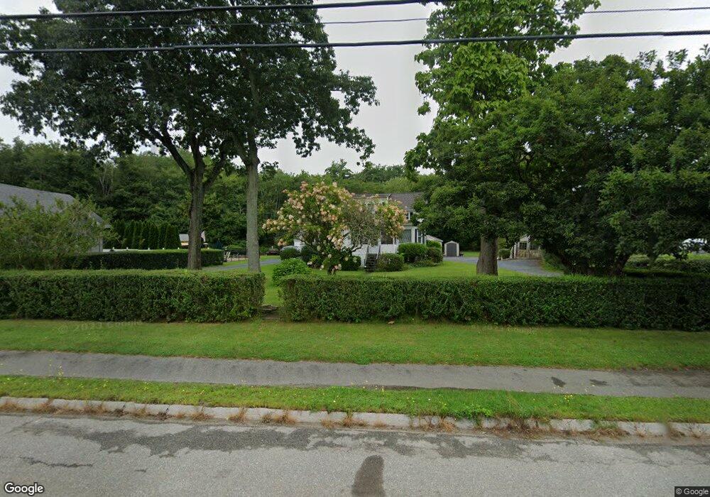
960 State Rd Westport, MA 02790
North Westport NeighborhoodEstimated Value: $489,137 - $604,000
2
Beds
2
Baths
1,809
Sq Ft
$296/Sq Ft
Est. Value
About This Home
This home is located at 960 State Rd, Westport, MA 02790 and is currently estimated at $536,046, approximately $296 per square foot. 960 State Rd is a home located in Bristol County with nearby schools including Alice A. Macomber Primary School, Westport Elementary School, and Westport Middle-High School.
Ownership History
Date
Name
Owned For
Owner Type
Purchase Details
Closed on
Sep 4, 1997
Sold by
Raposa Pauline M and Fernandes Gary R
Bought by
Fernandes Jeffrey A and Fernandes Lauria A
Current Estimated Value
Home Financials for this Owner
Home Financials are based on the most recent Mortgage that was taken out on this home.
Original Mortgage
$104,000
Interest Rate
7.36%
Mortgage Type
Purchase Money Mortgage
Create a Home Valuation Report for This Property
The Home Valuation Report is an in-depth analysis detailing your home's value as well as a comparison with similar homes in the area
Home Values in the Area
Average Home Value in this Area
Purchase History
| Date | Buyer | Sale Price | Title Company |
|---|---|---|---|
| Fernandes Jeffrey A | $102,500 | -- |
Source: Public Records
Mortgage History
| Date | Status | Borrower | Loan Amount |
|---|---|---|---|
| Open | Fernandes Jeffrey A | $45,000 | |
| Open | Fernandes Jeffrey A | $135,000 | |
| Closed | Fernandes Jeffrey A | $107,000 | |
| Closed | Fernandes Jeffrey A | $104,000 |
Source: Public Records
Tax History
| Year | Tax Paid | Tax Assessment Tax Assessment Total Assessment is a certain percentage of the fair market value that is determined by local assessors to be the total taxable value of land and additions on the property. | Land | Improvement |
|---|---|---|---|---|
| 2025 | $3,040 | $408,000 | $152,900 | $255,100 |
| 2024 | $3,052 | $394,800 | $142,000 | $252,800 |
| 2023 | $2,623 | $321,400 | $121,200 | $200,200 |
| 2022 | $2,546 | $300,200 | $121,200 | $179,000 |
| 2021 | $2,496 | $289,600 | $110,600 | $179,000 |
| 2020 | $2,385 | $282,900 | $106,300 | $176,600 |
| 2019 | $2,298 | $277,900 | $112,600 | $165,300 |
| 2018 | $7,968 | $268,500 | $130,300 | $138,200 |
| 2017 | $2,118 | $265,800 | $130,300 | $135,500 |
| 2016 | $2,102 | $265,800 | $130,300 | $135,500 |
| 2015 | $1,974 | $248,900 | $130,300 | $118,600 |
Source: Public Records
Map
Nearby Homes
- 15 S Breault St
- 565 Highland Ave
- 16 Lenox Ave
- 2 Fieldstone Dr
- 2 Van Buren St
- 2 Winterberry Ln
- 13 3rd Ave
- 21 Evergreen St
- 116 Gifford Rd
- 588 Gifford Rd
- 818 Reed Rd
- 3 Roller Coaster Way Unit Lot 1
- 0 American Legion Hwy Unit 73473517
- 162 Reed Rd
- 0 Hertitage Acres
- 1276 Old Fall River Rd
- 19 Charles Joseph Dr
- 2 Donna Marie Dr
- 441 Old County Rd
- 100 D Dr
- 956 State Rd
- 972 State Rd
- 972 State Rd Unit 1
- 972A State Rd
- 972 State Rd Unit A
- 972 State Rd
- 983 State Rd
- Lot A Russell St
- LOT 4 Russell Ave
- LOT 3 Russell Ave
- 00 Russell St
- 0 Russell St Unit 71538167
- 0 Russell St Unit 71582040
- 0 Russell St Unit 1012303
- 985 State Rd
- 2 Russell St
- 33 State Rd
- 21 Oakland St
- 41 N Berryman St
- 5 Russell Ave
Your Personal Tour Guide
Ask me questions while you tour the home.