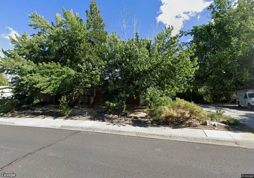
960 W 12th St Reno, NV 89503
West University NeighborhoodEstimated Value: $571,000 - $618,368
5
Beds
3
Baths
1,704
Sq Ft
$352/Sq Ft
Est. Value
About This Home
This home is located at 960 W 12th St, Reno, NV 89503 and is currently estimated at $599,342, approximately $351 per square foot. 960 W 12th St is a home located in Washoe County with nearby schools including Peavine Elementary School, Archie Clayton Pre-AP Academy, and Reno High School.
Ownership History
Date
Name
Owned For
Owner Type
Purchase Details
Closed on
Aug 28, 2025
Sold by
Gardner Molly R
Bought by
Molly Gardner Trust and Agpaoa
Current Estimated Value
Purchase Details
Closed on
May 9, 2025
Sold by
Gardner Molly Ruth
Bought by
Agpaoa Jenifer R and Agpaoa Phillip T
Purchase Details
Closed on
Jun 7, 2006
Sold by
1995 Robert E & Jean G Diamond Revocable
Bought by
Gardner Richard H and Gardner Molly R
Purchase Details
Closed on
Jun 21, 1995
Sold by
Diamond Robert E and Diamond Jean
Bought by
Diamond Robert E and Diamond Jean G
Create a Home Valuation Report for This Property
The Home Valuation Report is an in-depth analysis detailing your home's value as well as a comparison with similar homes in the area
Home Values in the Area
Average Home Value in this Area
Purchase History
| Date | Buyer | Sale Price | Title Company |
|---|---|---|---|
| Molly Gardner Trust | -- | None Listed On Document | |
| Gardner Molly R | $253,500 | None Listed On Document | |
| Agpaoa Jenifer R | $253,500 | None Listed On Document | |
| Gardner Richard H | -- | None Available | |
| Diamond Robert E | -- | -- |
Source: Public Records
Tax History Compared to Growth
Tax History
| Year | Tax Paid | Tax Assessment Tax Assessment Total Assessment is a certain percentage of the fair market value that is determined by local assessors to be the total taxable value of land and additions on the property. | Land | Improvement |
|---|---|---|---|---|
| 2025 | $1,701 | $93,053 | $50,054 | $43,000 |
| 2024 | $1,701 | $88,650 | $46,268 | $42,382 |
| 2023 | $1,655 | $84,072 | $45,092 | $38,980 |
| 2022 | $1,608 | $68,223 | $36,383 | $31,841 |
| 2021 | $1,560 | $57,591 | $26,497 | $31,094 |
| 2020 | $1,515 | $55,350 | $24,696 | $30,654 |
| 2019 | $1,471 | $52,508 | $22,969 | $29,539 |
| 2018 | $1,433 | $46,232 | $17,971 | $28,261 |
| 2017 | $1,387 | $44,900 | $17,162 | $27,738 |
| 2016 | $1,351 | $41,509 | $13,928 | $27,581 |
| 2015 | $1,350 | $40,466 | $12,863 | $27,603 |
| 2014 | $1,315 | $38,078 | $10,915 | $27,163 |
| 2013 | -- | $34,516 | $8,453 | $26,063 |
Source: Public Records
Map
Nearby Homes
- 840 Brookfield Dr
- 850 W 11th St
- 1275 Washington St
- 1480 Grandview Ave
- 1217 Keystone Ave
- 1130 Bon Rea Way
- 1702 Grandview Ave
- 1415 Kings Row
- 1375 Wesley Dr
- 535 Citadel Rd
- 960 Ralston St
- 1496 Highland Pines Dr
- 1510 Majestic Dr Unit one
- 1600 Majestic Dr
- 1516 Coleman Dr
- 595 College Dr
- 1765 Harold Dr
- 1670 Majestic Dr
- 250 College Dr
- 2120 Keystone Ave
- 865 Brookfield Dr
- 845 Brookfield Dr
- 920 W 12th St
- 1000 W 12th St
- 945 W 12th St
- 985 W 12th St
- 825 Brookfield Dr
- 885 Brookfield Dr
- 905 W 12th St
- 880 W 12th St
- 1040 W 12th St
- 860 Brookfield Dr
- 1025 W 12th St
- 830 Brookfield Dr
- 1010 Grandview Ave
- 865 W 12th St
- 795 Brookfield Dr
- 970 Grandview Ave
- 840 W 12th St
- 895 Brookfield Dr