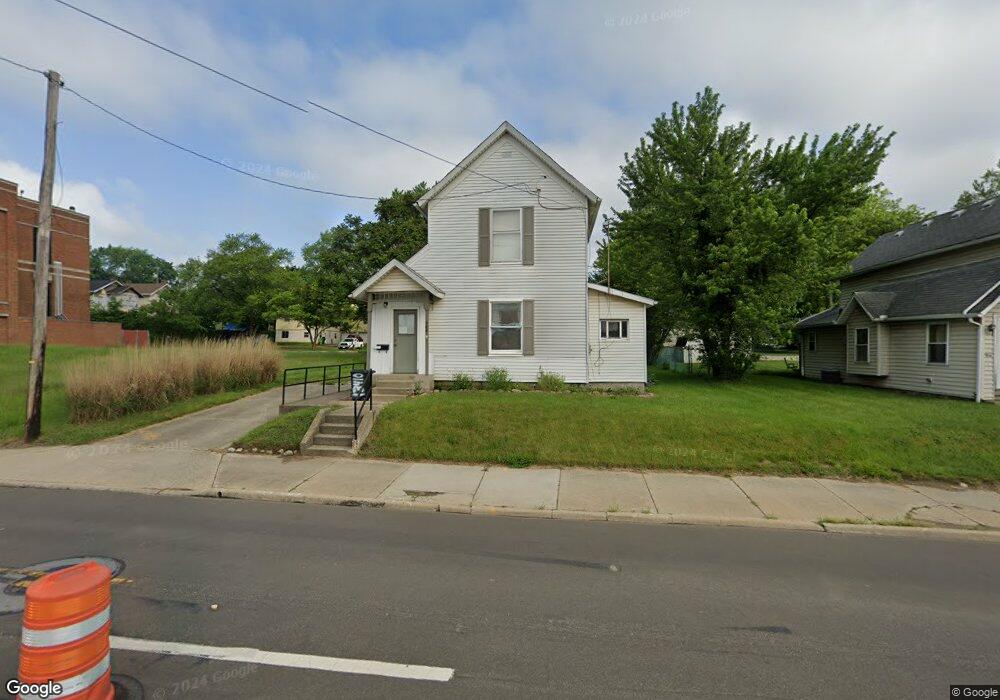
960 Wooster Rd N Barberton, OH 44203
North Barberton NeighborhoodEstimated Value: $128,000 - $149,000
2
Beds
1
Bath
1,274
Sq Ft
$109/Sq Ft
Est. Value
About This Home
This home is located at 960 Wooster Rd N, Barberton, OH 44203 and is currently estimated at $138,446, approximately $108 per square foot. 960 Wooster Rd N is a home located in Summit County with nearby schools including Barberton Middle School, Barberton Intermediate School 3-5, and Barberton High School.
Ownership History
Date
Name
Owned For
Owner Type
Purchase Details
Closed on
May 15, 2000
Sold by
Miller Emma L and Miller Emma
Bought by
Otto Mark H
Current Estimated Value
Home Financials for this Owner
Home Financials are based on the most recent Mortgage that was taken out on this home.
Original Mortgage
$49,500
Interest Rate
8.5%
Create a Home Valuation Report for This Property
The Home Valuation Report is an in-depth analysis detailing your home's value as well as a comparison with similar homes in the area
Home Values in the Area
Average Home Value in this Area
Purchase History
| Date | Buyer | Sale Price | Title Company |
|---|---|---|---|
| Otto Mark H | $55,000 | Endress Title Company Inc |
Source: Public Records
Mortgage History
| Date | Status | Borrower | Loan Amount |
|---|---|---|---|
| Closed | Otto Mark H | $49,500 |
Source: Public Records
Tax History Compared to Growth
Tax History
| Year | Tax Paid | Tax Assessment Tax Assessment Total Assessment is a certain percentage of the fair market value that is determined by local assessors to be the total taxable value of land and additions on the property. | Land | Improvement |
|---|---|---|---|---|
| 2025 | $2,885 | $39,624 | $10,616 | $29,008 |
| 2024 | $2,035 | $39,624 | $10,616 | $29,008 |
| 2023 | $2,885 | $39,624 | $10,616 | $29,008 |
| 2022 | $1,547 | $26,124 | $6,937 | $19,187 |
| 2021 | $1,545 | $26,124 | $6,937 | $19,187 |
| 2020 | $1,613 | $26,130 | $6,940 | $19,190 |
| 2019 | $1,303 | $17,830 | $6,110 | $11,720 |
| 2018 | $1,223 | $17,830 | $6,110 | $11,720 |
| 2017 | $1,187 | $17,830 | $6,110 | $11,720 |
| 2016 | $1,190 | $17,830 | $6,110 | $11,720 |
| 2015 | $1,187 | $17,830 | $6,110 | $11,720 |
| 2014 | $1,182 | $17,830 | $6,110 | $11,720 |
| 2013 | $1,181 | $18,480 | $6,110 | $12,370 |
Source: Public Records
Map
Nearby Homes
- 143 Glenn St
- 0 Romig Ave
- 30 W Hiram St
- 76 Hazelwood Ave
- 117 Fernwood Ave
- 103 & 103 1/2 Fernwood Ave
- 277 Glenn St
- 818 N Summit St
- 1150 Wooster Rd N
- 103 Mitchell St
- 44 W Summit St
- 690 Saint Clair Ave
- 137 Hermann St
- 146 Hermann St
- 0 Wooster Rd N
- 1315 Kohler Ave
- 1924 Caroline Ave
- 213 Hermann St
- 1295 Kohler Ave
- 261 E State St
- 966 Wooster Rd N
- 974 Wooster Rd N
- 979 Romig Ave
- 983 Romig Ave
- 973 Romig Ave
- 978 Wooster Rd N
- 989 Romig Ave
- 965 Romig Ave Unit 967
- 969 Wooster Rd N
- 984 Wooster Rd N
- 64 E Hiram St
- 967 Romig Ave
- 60 E Hiram St
- 56 E Hiram St
- 1001 Romig Ave
- 990 Wooster Rd N
- 1005 Romig Ave
- 1009 Romig Ave
- 991 1/2 Wooster Rd N
- 996 Wooster Rd N