9600 Compton Rd Waynesville, OH 45068
Wayne Township NeighborhoodEstimated Value: $367,000 - $491,000
2
Beds
2
Baths
1,577
Sq Ft
$277/Sq Ft
Est. Value
About This Home
This home is located at 9600 Compton Rd, Waynesville, OH 45068 and is currently estimated at $436,108, approximately $276 per square foot. 9600 Compton Rd is a home located in Warren County with nearby schools including Xenia High School.
Ownership History
Date
Name
Owned For
Owner Type
Purchase Details
Closed on
Aug 19, 2021
Sold by
Deis Peter Michael
Bought by
Deis Peter M and Peter M Deis Living Trust
Current Estimated Value
Purchase Details
Closed on
Mar 2, 1989
Sold by
Watson Watson and Watson Wm J
Bought by
Deis Deis and Deis Peter Michael
Purchase Details
Closed on
Aug 11, 1981
Sold by
Sullivan Sullivan and Sullivan John R
Purchase Details
Closed on
Nov 20, 1978
Sold by
Linamood Linamood and Linamood Beatrice J
Purchase Details
Closed on
Jun 13, 1978
Sold by
Schiller Schiller and Schiller John W
Purchase Details
Closed on
Jun 8, 1978
Sold by
Jones Jones and Jones Carl Rex
Create a Home Valuation Report for This Property
The Home Valuation Report is an in-depth analysis detailing your home's value as well as a comparison with similar homes in the area
Home Values in the Area
Average Home Value in this Area
Purchase History
| Date | Buyer | Sale Price | Title Company |
|---|---|---|---|
| Deis Peter M | -- | None Available | |
| Deis Deis | $40,000 | -- | |
| -- | $39,200 | -- | |
| -- | $25,000 | -- | |
| -- | $23,500 | -- | |
| -- | $30,600 | -- |
Source: Public Records
Tax History Compared to Growth
Tax History
| Year | Tax Paid | Tax Assessment Tax Assessment Total Assessment is a certain percentage of the fair market value that is determined by local assessors to be the total taxable value of land and additions on the property. | Land | Improvement |
|---|---|---|---|---|
| 2024 | $3,164 | $113,790 | $45,070 | $68,720 |
| 2023 | $2,573 | $89,663 | $27,930 | $61,733 |
| 2022 | $2,507 | $89,663 | $27,930 | $61,733 |
| 2021 | $2,263 | $89,663 | $27,930 | $61,733 |
| 2020 | $2,093 | $72,898 | $22,708 | $50,190 |
| 2019 | $2,130 | $72,898 | $22,708 | $50,190 |
| 2018 | $2,157 | $72,898 | $22,708 | $50,190 |
| 2017 | $1,950 | $65,380 | $19,397 | $45,983 |
| 2016 | $2,007 | $65,380 | $19,397 | $45,983 |
| 2015 | $2,008 | $65,380 | $19,397 | $45,983 |
| 2014 | $1,947 | $61,940 | $18,970 | $42,970 |
| 2013 | $2,000 | $69,020 | $19,850 | $49,170 |
Source: Public Records
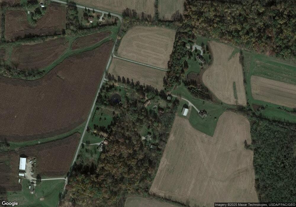
Map
Nearby Homes
- 8648 Compton Rd
- 9052 Wilson Rd
- 8760 State Route 380
- 9500 Collett Rd Unit 20
- 8881 Route 42
- 196 Mound St
- 6329 State Route 380
- 2 Acres Mount Holly Rd
- 7364 Cook Jones Rd
- 668 New Burlington Rd
- 0A Old Winchester Trail
- 0B Old Winchester Trail
- 0C Old Winchester Trail
- 3620 Old Winchester Trail
- 9 Cumberland Ct
- 9161 Old Stage Rd
- 7902 N US Rt 42
- 0 Penewit Rd
- 10 Acres Penewit Rd
- 10031 Ohio 73
- 9560 Compton Rd
- 9608 Compton Rd
- 9532 Compton Rd
- 10304 Compton Rd
- 9749 Compton Rd
- 9863 Compton Rd
- 3393 Cornstalk Rd
- 1150 Roxanna New Burlington Rd
- 3921 Cornstalk Rd
- 3871 Cornstalk Rd
- 74 Hiawatha Rd
- 73 Hiawatha Rd
- 10776 Young Rd
- 3793 Cornstalk Rd
- 59 Hiawatha Rd
- 9657 State Route 380
- 45 Hiawatha Rd
- 1320 Roxanna New Burlington Rd
- 8 Hiawatha Rd
- 33 Hiawatha Rd