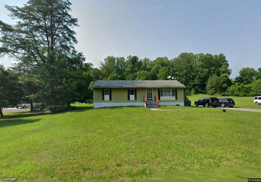
9600 Howes Rd Dunkirk, MD 20754
Dunkirk AreaEstimated Value: $459,632
About This Home
This home is located at 9600 Howes Rd, Dunkirk, MD 20754 and is currently priced at $459,632, approximately $368 per square foot. 9600 Howes Rd is a home located in Calvert County.
Ownership History
We collect this data history from publicly available records. To have your information removed, we recommend requesting removal directly through your county’s website.
Purchase Details
Purchase Details
Home Financials for this Owner
Home Financials are based on the most recent Mortgage that was taken out on this home.Purchase Details
Home Financials for this Owner
Home Financials are based on the most recent Mortgage that was taken out on this home.Purchase Details
Home Financials for this Owner
Home Financials are based on the most recent Mortgage that was taken out on this home.Home Values in the Area
Average Home Value in this Area
Purchase History
We collect this data history from publicly available records. To have your information removed, we recommend requesting removal directly through your county’s website.
| Date | Buyer | Sale Price | Title Company |
|---|---|---|---|
| -- | Oden Feldman & Pittleman Pc | ||
| -- | -- | ||
| -- | -- | ||
| -- | Properity Title And Escrow |
Mortgage History
We collect this data history from publicly available records. To have your information removed, we recommend requesting removal directly through your county’s website.
| Date | Status | Borrower | Loan Amount |
|---|---|---|---|
| Previous Owner | $567,000 | ||
| Previous Owner | $433,500 | ||
| Previous Owner | $170,000 | ||
| Previous Owner | $15,866 | ||
| Previous Owner | $138,000 | ||
| Previous Owner | $138,000 | ||
| Previous Owner | $28,100 |
Tax History
We collect this data history from publicly available records. To have your information removed, we recommend requesting removal directly through your county’s website.
| Year | Tax Paid | Tax Assessment Tax Assessment Total Assessment is a certain percentage of the fair market value that is determined by local assessors to be the total taxable value of land and additions on the property. | Land | Improvement |
|---|---|---|---|---|
| 2026 | $3,436 | $305,567 | $0 | $0 |
| 2025 | $3,436 | $297,900 | $165,800 | $132,100 |
| 2024 | $3,330 | $288,467 | $0 | $0 |
| 2023 | $3,113 | $279,033 | $0 | $0 |
| 2022 | $3,012 | $269,600 | $165,800 | $103,800 |
| 2021 | $2,098 | $265,933 | $0 | $0 |
| 2020 | $2,943 | $262,267 | $0 | $0 |
| 2019 | $2,915 | $258,600 | $165,800 | $92,800 |
| 2018 | $2,902 | $258,600 | $165,800 | $92,800 |
| 2017 | $2,938 | $258,600 | $0 | $0 |
| 2016 | -- | $260,600 | $0 | $0 |
| 2015 | $2,895 | $260,600 | $0 | $0 |
| 2014 | $2,895 | $260,600 | $0 | $0 |
Map
- 9350 Baker St
- 9617 Cortland Ln
- 9810 Golden Russet Dr
- 9290 Baker St
- 10310 Wild Goose Way
- 9914 Mcintosh Dr
- 17501 Watershed Dr
- 2050 Mccracken Dr
- 3614 King Dr
- 11802 Rivershore Dr
- 11223 Country Rd
- 1921 Haven Ln
- 7847 N Flint Hill Rd
- 3131 Ashwood Dr
- 3901 Lakeside Ct
- 3019 Ashwood Dr
- 3401 King Dr
- 8800 Stratford Ct
- 16601 Candy Hill Rd
- 16351 Tanyard Rd
Ask me questions while you tour the home.