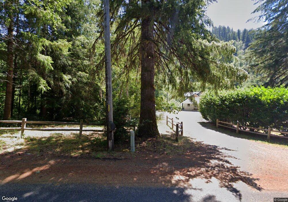
9600 N Fork Siuslaw Rd Florence, OR 97439
Estimated Value: $440,000 - $1,132,000
5
Beds
4
Baths
3,250
Sq Ft
$260/Sq Ft
Est. Value
About This Home
This home is located at 9600 N Fork Siuslaw Rd, Florence, OR 97439 and is currently estimated at $845,735, approximately $260 per square foot. 9600 N Fork Siuslaw Rd is a home located in Lane County with nearby schools including Siuslaw Elementary School, Siuslaw Middle School, and Siuslaw High School.
Ownership History
Date
Name
Owned For
Owner Type
Purchase Details
Closed on
Aug 28, 2025
Sold by
Erickson Timothy Martin and Erickson Kimberly Dawn
Bought by
Tim M And Kim D Erickson Family Trust and Erickson
Current Estimated Value
Create a Home Valuation Report for This Property
The Home Valuation Report is an in-depth analysis detailing your home's value as well as a comparison with similar homes in the area
Home Values in the Area
Average Home Value in this Area
Purchase History
| Date | Buyer | Sale Price | Title Company |
|---|---|---|---|
| Tim M And Kim D Erickson Family Trust | -- | None Listed On Document |
Source: Public Records
Tax History Compared to Growth
Tax History
| Year | Tax Paid | Tax Assessment Tax Assessment Total Assessment is a certain percentage of the fair market value that is determined by local assessors to be the total taxable value of land and additions on the property. | Land | Improvement |
|---|---|---|---|---|
| 2025 | $362 | $27,885 | -- | -- |
| 2024 | $346 | $26,590 | -- | -- |
| 2023 | $346 | $26,285 | $0 | $0 |
| 2022 | $323 | $25,520 | $0 | $0 |
Source: Public Records
Map
Nearby Homes
- 9580 N Fork Siuslaw Rd
- 89550 Dick Way
- 11425 E Mapleton Rd
- 11406 E Mapleton Rd
- 11354 Highway 36 Unit LotWP001
- 11354 Highway 36
- 9247 Highway 126
- 0 Tiernan Rd Unit 2000 366995926
- 9363 Highway 126
- 12212 E Mapleton Rd
- 10273 Sweet Creek Rd
- 10887 E Mapleton Rd
- 12407 Highway 36
- 10786 Oregon 126
- 6651 Twin Fawn Dr
- 7691 Bernhardt Heights Rd
- 86549 Sweet Creek
- 89349 Rustic Ln
- 88616 Ocean View Ln
- 89911 Ben Bunch Rd
- 9640 N Fork Siuslaw Rd
- 9555 N Fork Siuslaw Rd
- 9551 N Fork Siuslaw Rd
- 9680 N Fork Siuslaw Rd
- 9717 N Fork Siuslaw Rd
- 9348 N Fork Siuslaw Rd
- 9373 N Fork Siuslaw Rd
- 89601 Dick Way
- 89555 Dick Way
- 89604 Dick Way
- 89558 Dick Way
- 89584 Dick Way
- 89580 Dick Way
- 9201 N Fork Siuslaw Rd
- 9141 N Fork Rd
- 9141 N Fork Siuslaw Rd
- 5070 N Fork Siulslaw
- 9151 N Fork Siuslaw Rd
- 9949 N Fork Rd
- 9373 N Fork Rd