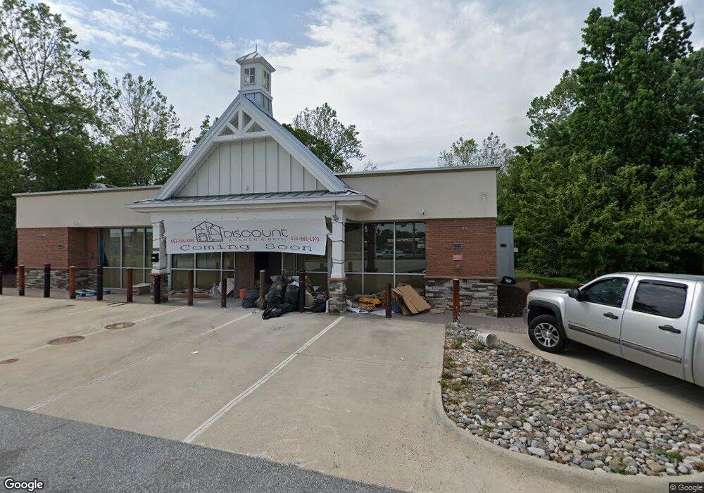
9600 Pulaski Hwy Baltimore, MD 21220
Estimated Value: $1,013,049
--
Bed
--
Bath
3,306
Sq Ft
$306/Sq Ft
Est. Value
About This Home
This home is located at 9600 Pulaski Hwy, Baltimore, MD 21220 and is currently estimated at $1,013,049, approximately $306 per square foot. 9600 Pulaski Hwy is a home located in Baltimore County with nearby schools including Victory Villa Elementary School, Middle River Middle School, and Kenwood High.
Ownership History
Date
Name
Owned For
Owner Type
Purchase Details
Closed on
Jan 23, 2025
Sold by
9600 Pulaski Llc
Bought by
Two Farms Inc
Current Estimated Value
Purchase Details
Closed on
May 2, 2022
Sold by
9600 Pulaski Llc
Bought by
Baltimore County Maryland
Purchase Details
Closed on
Nov 14, 2007
Sold by
Hawkins Irvin F
Bought by
9600 Pulaski Llc
Purchase Details
Closed on
Oct 22, 2007
Sold by
Hawkins Irvin F
Bought by
9600 Pulaski Llc
Create a Home Valuation Report for This Property
The Home Valuation Report is an in-depth analysis detailing your home's value as well as a comparison with similar homes in the area
Home Values in the Area
Average Home Value in this Area
Purchase History
| Date | Buyer | Sale Price | Title Company |
|---|---|---|---|
| Two Farms Inc | $965,000 | Residential Title | |
| Baltimore County Maryland | $2,000,000 | Bouland & Brush Llc | |
| 9600 Pulaski Llc | -- | -- | |
| 9600 Pulaski Llc | -- | -- |
Source: Public Records
Tax History Compared to Growth
Tax History
| Year | Tax Paid | Tax Assessment Tax Assessment Total Assessment is a certain percentage of the fair market value that is determined by local assessors to be the total taxable value of land and additions on the property. | Land | Improvement |
|---|---|---|---|---|
| 2025 | $14,084 | $1,135,300 | -- | -- |
| 2024 | $14,084 | $1,126,100 | $0 | $0 |
| 2023 | $7,007 | $1,116,900 | $811,100 | $305,800 |
| 2022 | $13,895 | $1,118,800 | $813,000 | $305,800 |
| 2021 | $15,479 | $1,118,800 | $813,000 | $305,800 |
| 2020 | $16,589 | $1,119,200 | $813,000 | $306,200 |
| 2019 | $13,565 | $1,119,200 | $813,000 | $306,200 |
| 2018 | $15,995 | $1,119,200 | $813,000 | $306,200 |
| 2017 | $15,397 | $1,129,600 | $0 | $0 |
| 2016 | $15,438 | $1,129,500 | $0 | $0 |
| 2015 | $15,438 | $1,129,400 | $0 | $0 |
| 2014 | $15,438 | $1,129,300 | $0 | $0 |
Source: Public Records
Map
Nearby Homes
- 9434 Windpine Rd
- 16 King Henry Cir
- 76 King Henry Cir
- 42 King Henry Cir
- 9422 Windpine Rd
- 1806 Watermark Way
- 815 Lannerton Rd
- 804 Thimbleberry Rd
- 5435 King Arthur Cir
- 5420 King Arthur Cir
- 9725 Matzon Rd
- 12 Duchess Ct
- 9613 Conmar Rd
- 9 Slipstream Ct
- 4 Bantry Ct
- 5425 Balistan Rd
- 9863 Decatur Rd
- 5363 King Arthur Cir
- 59 Transverse Ave
- 8 Caterham Ct
- 9610 Pulaski Hwy
- 1102 Molesworth Rd
- 9526 Pulaski Hwy
- 9605 Pulaski Hwy
- 9525 Pulaski Hwy
- 1107 Middle River Rd
- 9611 Pulaski Hwy
- 9624 Pulaski Hwy
- 9615 Pulaski Hwy
- 9523 Pulaski Hwy
- 9502 Pulaski Hwy
- 9619 Pulaski Hwy
- 1106 Middle River Rd
- 1109 Middle River Rd
- 9630 Pulaski Hwy
- 1030 Middle River Rd
- 1112 Middle River Rd
- 9621 Pulaski Hwy
- 9621 Philadelphia Rd
- 9635 Philadelphia Rd