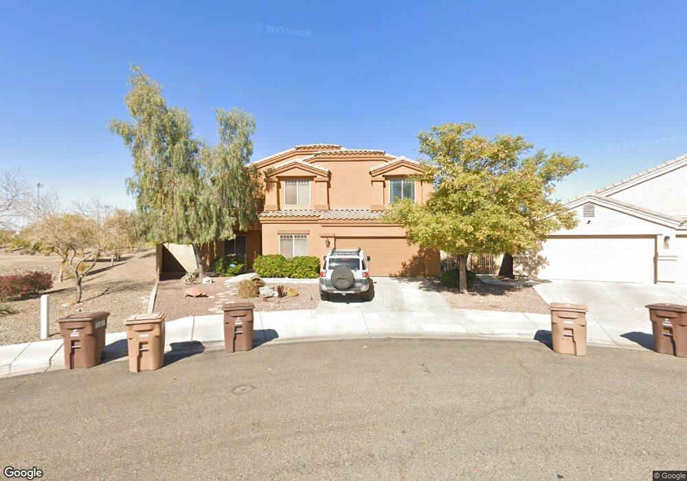
9600 W Frank Ave Peoria, AZ 85382
Estimated Value: $680,516 - $734,000
--
Bed
5
Baths
3,965
Sq Ft
$181/Sq Ft
Est. Value
About This Home
This home is located at 9600 W Frank Ave, Peoria, AZ 85382 and is currently estimated at $718,629, approximately $181 per square foot. 9600 W Frank Ave is a home located in Maricopa County with nearby schools including Sunset Heights Elementary School and Liberty High School.
Ownership History
Date
Name
Owned For
Owner Type
Purchase Details
Closed on
Oct 9, 2008
Sold by
D R Horton Inc Dietz Crane
Bought by
Alcantara Rafael
Current Estimated Value
Home Financials for this Owner
Home Financials are based on the most recent Mortgage that was taken out on this home.
Original Mortgage
$275,665
Outstanding Balance
$182,252
Interest Rate
6.31%
Mortgage Type
New Conventional
Estimated Equity
$536,377
Create a Home Valuation Report for This Property
The Home Valuation Report is an in-depth analysis detailing your home's value as well as a comparison with similar homes in the area
Home Values in the Area
Average Home Value in this Area
Purchase History
| Date | Buyer | Sale Price | Title Company |
|---|---|---|---|
| Alcantara Rafael | $344,582 | Dhi Title Of Arizona Inc |
Source: Public Records
Mortgage History
| Date | Status | Borrower | Loan Amount |
|---|---|---|---|
| Open | Alcantara Rafael | $275,665 |
Source: Public Records
Tax History Compared to Growth
Tax History
| Year | Tax Paid | Tax Assessment Tax Assessment Total Assessment is a certain percentage of the fair market value that is determined by local assessors to be the total taxable value of land and additions on the property. | Land | Improvement |
|---|---|---|---|---|
| 2025 | $3,499 | $43,240 | -- | -- |
| 2024 | $3,415 | $41,181 | -- | -- |
| 2023 | $3,415 | $49,570 | $9,910 | $39,660 |
| 2022 | $3,335 | $37,900 | $7,580 | $30,320 |
| 2021 | $3,524 | $35,750 | $7,150 | $28,600 |
| 2020 | $3,558 | $33,880 | $6,770 | $27,110 |
| 2019 | $3,550 | $33,250 | $6,650 | $26,600 |
| 2018 | $3,584 | $34,060 | $6,810 | $27,250 |
| 2017 | $3,585 | $32,900 | $6,580 | $26,320 |
| 2016 | $3,490 | $32,200 | $6,440 | $25,760 |
| 2015 | $3,435 | $32,350 | $6,470 | $25,880 |
Source: Public Records
Map
Nearby Homes
- 9582 W Albert Ln
- 9561 W Frank Ave
- 9574 W Quail Ave
- 9541 W Frank Ave
- 9548 W Quail Ave
- 20961 N 96th Dr
- 20967 N 96th Ln
- 9457 W Albert Ln
- 9651 W Potter Dr
- 9446 W Albert Ln
- 9729 W Burnett Rd
- 9426 W Melinda Ln
- 9341 W Albert Ln
- 9529 W Runion Dr
- 10001 W Potter Dr
- 9331 W Harmony Ln
- 9747 W Sands Dr
- 21978 N 100th Ave
- 20424 N 96th Ln
- 9372 W Louise Dr
- 9598 W Frank Ave
- 9594 W Frank Ave
- 21224 N 96th Ave
- 9592 W Frank Ave
- 9595 W Frank Ave
- 21260 N 96th Ave
- 9591 W Frank Ave
- 21268 N 96th Ave Unit 7
- 21208 N 96th Ave
- 9587 W Frank Ave
- 21274 N 96th Ave
- 9584 W Frank Ave
- 9583 W Frank Ave
- 9593 W Albert Ln Unit 7
- 9588 W Deanna Dr
- 21202 N 96th Ave Unit 6
- 9580 W Frank Ave
- 9584 W Deanna Dr
- 9587 W Albert Ln Unit 7