9601 Kay Ln Castorland, NY 13620
Estimated Value: $234,000 - $500,620
3
Beds
2
Baths
2,616
Sq Ft
$130/Sq Ft
Est. Value
About This Home
This home is located at 9601 Kay Ln, Castorland, NY 13620 and is currently estimated at $340,405, approximately $130 per square foot. 9601 Kay Ln is a home located in Lewis County with nearby schools including Beaver River Elementary School, Beaver River Middle School, and Beaver River Senior High School.
Ownership History
Date
Name
Owned For
Owner Type
Purchase Details
Closed on
Feb 11, 1998
Sold by
Anderson Patrick T and Anderson Mary Beth
Bought by
Moore Stephen and Moore Marie
Current Estimated Value
Purchase Details
Closed on
Mar 27, 1997
Sold by
Graveley Brian N and Graveley Rosemary Mi
Bought by
Anderson Patrick T and Anderson Mary Beth
Create a Home Valuation Report for This Property
The Home Valuation Report is an in-depth analysis detailing your home's value as well as a comparison with similar homes in the area
Home Values in the Area
Average Home Value in this Area
Purchase History
| Date | Buyer | Sale Price | Title Company |
|---|---|---|---|
| Moore Stephen | $112,000 | -- | |
| Anderson Patrick T | $106,000 | -- |
Source: Public Records
Tax History Compared to Growth
Tax History
| Year | Tax Paid | Tax Assessment Tax Assessment Total Assessment is a certain percentage of the fair market value that is determined by local assessors to be the total taxable value of land and additions on the property. | Land | Improvement |
|---|---|---|---|---|
| 2024 | $6,571 | $160,300 | $39,900 | $120,400 |
| 2023 | $6,623 | $160,300 | $39,900 | $120,400 |
| 2022 | $6,521 | $160,300 | $39,900 | $120,400 |
| 2021 | $6,475 | $160,300 | $39,900 | $120,400 |
| 2020 | $5,999 | $160,300 | $39,900 | $120,400 |
| 2019 | $5,907 | $160,300 | $39,900 | $120,400 |
| 2018 | $5,907 | $160,300 | $39,900 | $120,400 |
| 2017 | $5,820 | $160,300 | $39,900 | $120,400 |
| 2016 | $5,731 | $160,300 | $39,900 | $120,400 |
| 2015 | -- | $160,300 | $39,900 | $120,400 |
| 2014 | -- | $160,300 | $39,900 | $120,400 |
Source: Public Records
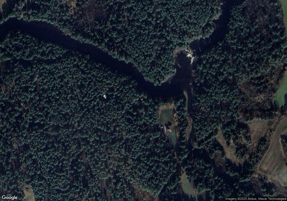
Map
Nearby Homes
- 6882 Shady Ave
- 9768 New York 812
- 9693 State Route 812
- 7009 George St
- 9673 State Route 126
- 9217 State Route 812
- 8920 Artz Rd
- 6604 Widricks Trailer Park
- 000 Mattis Rd
- 0 van Amber Rd Unit S1625333
- 8295 State Route 812
- 8794 van Amber Rd
- 7683 Lomber Rd
- 7571 Snell Rd
- 5492 State Route 410
- 7838 New York 812
- 9612 Bowman St
- 9512 Church St
- 10440 State Route 126
- 00 New York 410
- 9473 State Route 126
- 6563 Rock Hollow Rd
- 9459 State Route 126
- 6567 Rock Hollow Rd
- 9511 Kay Ln
- 9509 Kay Ln
- 9507 Kay Ln
- 6851 Shady Ave
- 6541 E Rock Hollow
- 6855 Shady Ave
- 6528 Rock Hollow Rd
- 6859 Shady Ave
- 6448 Swiss Rd
- 9505 Kay Ln
- 6440 Swiss Rd
- 9536 New York 126
- 6864 Shady Ave
- 6869 Shady Ave
- 6827 Mechanic St
- 6870 Shady Ave