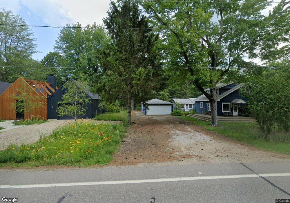
9601 Union Pier Rd Union Pier, MI 49129
Estimated Value: $436,520 - $681,000
2
Beds
2
Baths
1,676
Sq Ft
$330/Sq Ft
Est. Value
About This Home
This home is located at 9601 Union Pier Rd, Union Pier, MI 49129 and is currently estimated at $553,630, approximately $330 per square foot. 9601 Union Pier Rd is a home located in Berrien County with nearby schools including New Buffalo Elementary School, New Buffalo Middle School, and New Buffalo Senior High School.
Ownership History
Date
Name
Owned For
Owner Type
Purchase Details
Closed on
Dec 4, 2003
Sold by
Worthington Gregory P and Worthington Christina
Bought by
Purdy Elizabeth C
Current Estimated Value
Home Financials for this Owner
Home Financials are based on the most recent Mortgage that was taken out on this home.
Original Mortgage
$188,000
Outstanding Balance
$121,985
Interest Rate
4%
Mortgage Type
Unknown
Estimated Equity
$431,645
Purchase Details
Closed on
Oct 3, 1994
Create a Home Valuation Report for This Property
The Home Valuation Report is an in-depth analysis detailing your home's value as well as a comparison with similar homes in the area
Home Values in the Area
Average Home Value in this Area
Purchase History
| Date | Buyer | Sale Price | Title Company |
|---|---|---|---|
| Purdy Elizabeth C | -- | -- | |
| -- | $68,500 | -- |
Source: Public Records
Mortgage History
| Date | Status | Borrower | Loan Amount |
|---|---|---|---|
| Open | Purdy Elizabeth C | $188,000 |
Source: Public Records
Tax History Compared to Growth
Tax History
| Year | Tax Paid | Tax Assessment Tax Assessment Total Assessment is a certain percentage of the fair market value that is determined by local assessors to be the total taxable value of land and additions on the property. | Land | Improvement |
|---|---|---|---|---|
| 2025 | $2,007 | $136,200 | $0 | $0 |
| 2024 | $1,262 | $90,800 | $0 | $0 |
| 2023 | $1,202 | $111,500 | $0 | $0 |
| 2022 | $1,145 | $92,100 | $0 | $0 |
| 2021 | $1,718 | $76,100 | $36,500 | $39,600 |
| 2020 | $1,697 | $66,200 | $0 | $0 |
| 2019 | $1,716 | $57,100 | $16,500 | $40,600 |
| 2018 | $1,710 | $57,100 | $0 | $0 |
| 2017 | $1,720 | $58,000 | $0 | $0 |
| 2016 | $1,644 | $61,600 | $0 | $0 |
| 2015 | $1,637 | $65,500 | $0 | $0 |
| 2014 | $1,018 | $64,900 | $0 | $0 |
Source: Public Records
Map
Nearby Homes
- 9720 Woodlawn Ave
- 16253 1st Ln
- 16009 Goodwin Ave Unit 12
- 16009 Goodwin Ave Unit 10
- 16009 Goodwin Ave Unit 13
- 16431 Glassman Rd
- 9325 Matthews Rd
- 15943 Lakeshore Rd
- 9695 Community Hall Rd
- 15657 Lakeshore Rd Unit 12
- 9132 National Pkwy
- 9604 9704 Community Hall Rd
- 9366 E Locke Rd
- 15655 Locke Rd
- V/L National Pkwy Unit 25
- 15577 Victor Rd Unit 4
- 16351 Red Arrow Hwy
- 16225 Quality Ln
- Lot 7 Driftwood Path
- 15930 Lake Ave
- 00 Union Unit Road
- 9595 Union Pier Rd
- 9635 Union Pier Rd
- 16060 Ruffino Rd
- 9579 Union Pier Rd
- 9629 Union Pier Rd
- 16065 Prusa Rd
- 16055 Ruffino Rd
- 9584 Union Pier Rd
- 9563 Union Pier Rd
- 9626 Union Pier Rd
- 16055 Prusa Rd
- 9667 Union Pier Rd
- 16045 Ruffino Rd Unit AB
- 16045 Ruffino Rd
- 9560 Union Pier Rd
- 16133 Krob Rd
- 9673 Union Pier Rd
- 9572 Union Pier Rd
- 9552 Union Pier Rd