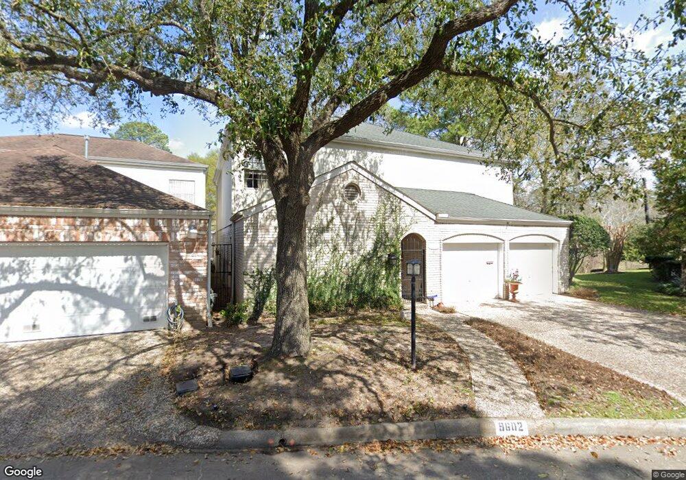
9602 Longmont Dr Houston, TX 77063
Mid West NeighborhoodEstimated Value: $650,000 - $884,000
3
Beds
3
Baths
4,210
Sq Ft
$180/Sq Ft
Est. Value
About This Home
This home is located at 9602 Longmont Dr, Houston, TX 77063 and is currently estimated at $759,711, approximately $180 per square foot. 9602 Longmont Dr is a home located in Harris County with nearby schools including Emerson Elementary School, Paul Revere Middle School, and Wisdom High School.
Ownership History
Date
Name
Owned For
Owner Type
Purchase Details
Closed on
Mar 13, 2003
Sold by
Townsend Albert H and Townsend Julie
Bought by
Coopwood Michael K and Coopwood K
Current Estimated Value
Home Financials for this Owner
Home Financials are based on the most recent Mortgage that was taken out on this home.
Original Mortgage
$322,700
Interest Rate
5.86%
Create a Home Valuation Report for This Property
The Home Valuation Report is an in-depth analysis detailing your home's value as well as a comparison with similar homes in the area
Home Values in the Area
Average Home Value in this Area
Purchase History
| Date | Buyer | Sale Price | Title Company |
|---|---|---|---|
| Coopwood Michael K | -- | Alamo Title Company |
Source: Public Records
Mortgage History
| Date | Status | Borrower | Loan Amount |
|---|---|---|---|
| Closed | Coopwood Michael K | $322,700 |
Source: Public Records
Tax History Compared to Growth
Tax History
| Year | Tax Paid | Tax Assessment Tax Assessment Total Assessment is a certain percentage of the fair market value that is determined by local assessors to be the total taxable value of land and additions on the property. | Land | Improvement |
|---|---|---|---|---|
| 2025 | $5,236 | $817,262 | $125,000 | $692,262 |
| 2024 | $5,236 | $890,506 | $125,000 | $765,506 |
| 2023 | $5,236 | $942,294 | $125,000 | $817,294 |
| 2022 | $12,271 | $817,950 | $125,000 | $692,950 |
| 2021 | $11,808 | $768,578 | $125,000 | $643,578 |
| 2020 | $11,153 | $460,561 | $125,000 | $335,561 |
| 2019 | $11,621 | $459,233 | $125,000 | $334,233 |
| 2018 | $8,248 | $593,953 | $125,000 | $468,953 |
| 2017 | $14,236 | $593,953 | $125,000 | $468,953 |
| 2016 | $12,942 | $593,953 | $125,000 | $468,953 |
| 2015 | $8,565 | $593,953 | $110,000 | $483,953 |
| 2014 | $8,565 | $442,485 | $100,000 | $342,485 |
Source: Public Records
Map
Nearby Homes
- 9620 Doliver Dr
- 9632 Bayou Brook St
- 45 Patti Lynn Ln
- 45 Bayou Pointe Dr
- 9618 Bayou Brook St
- 6 Gessner Rd
- 9518 Bayou Brook St
- 30 E Rivercrest Dr
- 2100 Tanglewilde St Unit 750
- 2100 Tanglewilde St Unit 169
- 2100 Tanglewilde St Unit 536
- 2100 Tanglewilde St Unit 402
- 2100 Tanglewilde St Unit 422
- 2100 Tanglewilde St Unit 625
- 2100 Tanglewilde St Unit 131
- 2100 Tanglewilde St Unit 455
- 2100 Tanglewilde St Unit 600
- 2100 Tanglewilde St Unit 299
- 2100 Tanglewilde St Unit 378
- 9400 Doliver Dr Unit 70
- 9604 Longmont Dr
- 9606 Longmont Dr
- 9608 Longmont Dr
- 9598 Longmont Dr
- 9597 Longmont Dr
- 9610 Longmont Dr
- 9592 Longmont Dr
- 0 Woodlake Forest Dr Unit 80664037
- 9612 Longmont Dr
- 9593 Longmont Dr
- 9594 Longmont Dr
- 9614 Longmont Dr
- 9589 Longmont Dr
- 9611 Longmont Dr
- 9613 Longmont Dr
- 9634 Longmont Dr
- 9615 Longmont Dr
- 9590 Longmont Dr
- 9617 Longmont Dr
- 9636 Longmont Dr