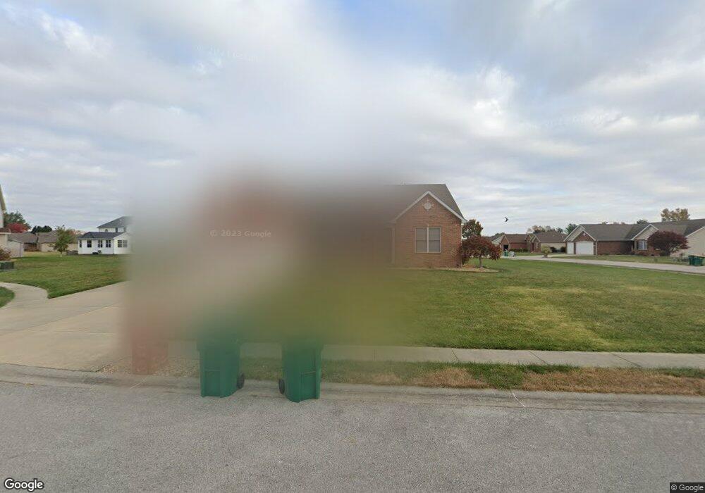
9605 Colt Ct Mascoutah, IL 62258
Estimated Value: $451,000 - $536,000
Studio
--
Bath
2,461
Sq Ft
$198/Sq Ft
Est. Value
About This Home
This home is located at 9605 Colt Ct, Mascoutah, IL 62258 and is currently estimated at $488,314, approximately $198 per square foot. 9605 Colt Ct is a home located in St. Clair County with nearby schools including Mascoutah High School and Holy Childhood of Jesus School.
Ownership History
Date
Name
Owned For
Owner Type
Purchase Details
Closed on
Mar 2, 2006
Sold by
Kappert Construction Co Inc
Bought by
Lindsay Chris and Lindsay Michelle
Current Estimated Value
Home Financials for this Owner
Home Financials are based on the most recent Mortgage that was taken out on this home.
Original Mortgage
$243,503
Outstanding Balance
$137,862
Interest Rate
6.2%
Mortgage Type
Fannie Mae Freddie Mac
Estimated Equity
$350,452
Purchase Details
Closed on
Nov 3, 2005
Sold by
Hunters Creek Development Llc
Bought by
Kappert Construction Co Inc
Create a Home Valuation Report for This Property
The Home Valuation Report is an in-depth analysis detailing your home's value as well as a comparison with similar homes in the area
Purchase History
| Date | Buyer | Sale Price | Title Company |
|---|---|---|---|
| Lindsay Chris | $304,500 | Benchmark Title Company | |
| Kappert Construction Co Inc | $46,000 | Town & Country |
Source: Public Records
Mortgage History
| Date | Status | Borrower | Loan Amount |
|---|---|---|---|
| Open | Lindsay Chris | $243,503 | |
| Closed | Kappert Construction Co Inc | $0 |
Source: Public Records
Tax History
| Year | Tax Paid | Tax Assessment Tax Assessment Total Assessment is a certain percentage of the fair market value that is determined by local assessors to be the total taxable value of land and additions on the property. | Land | Improvement |
|---|---|---|---|---|
| 2024 | $10,961 | $153,527 | $35,458 | $118,069 |
| 2023 | $10,427 | $140,309 | $32,405 | $107,904 |
| 2022 | $10,300 | $127,693 | $29,491 | $98,202 |
| 2021 | $9,322 | $114,282 | $28,563 | $85,719 |
| 2020 | $8,918 | $107,199 | $26,792 | $80,407 |
| 2019 | $8,704 | $107,199 | $26,792 | $80,407 |
| 2018 | $8,514 | $104,319 | $26,072 | $78,247 |
| 2017 | $8,329 | $97,787 | $21,385 | $76,402 |
| 2016 | $8,238 | $96,380 | $21,077 | $75,303 |
| 2014 | $7,285 | $94,176 | $20,595 | $73,581 |
| 2013 | $5,730 | $92,840 | $20,303 | $72,537 |
Source: Public Records
Map
Nearby Homes
- 9605 Weatherby St
- 9640 Mallard Dr
- 414 N County Rd
- 1192 Widgeon Dr
- 9715 Winchester St
- 9719 Iroquois Dr
- 1151 Illiniwek Dr
- 27 Coachlight Dr
- 1017 W Green St
- 926 W Green St
- 717 Knipp Dr
- 924 Dere Bere Dr
- 1453 Lexi Ln
- 1220 Winding Oaks Ln
- 612 N 1st St
- 929 W South St
- 824 W State St
- 905 W South St
- 755 Moorland Cir
- 714 W South St
- 9604 Ruger Ct
- 9601 Colt Ct
- 9604 Colt Ct
- 1008 Benelli St
- 9600 Ruger Ct
- 1012 Benelli St
- 9600 Colt Ct
- 1004 Benelli St
- 1016 Benelli St
- 1000 Benelli St
- 1009 Remington St
- 1013 Remington St
- 1005 Remington St
- 9605 Ruger Ct
- 9613 Weatherby St
- 1001 Remington St
- 9601 Ruger Ct
- 1017 Remington St
- 9600 Weatherby St
- 1020 Benelli St