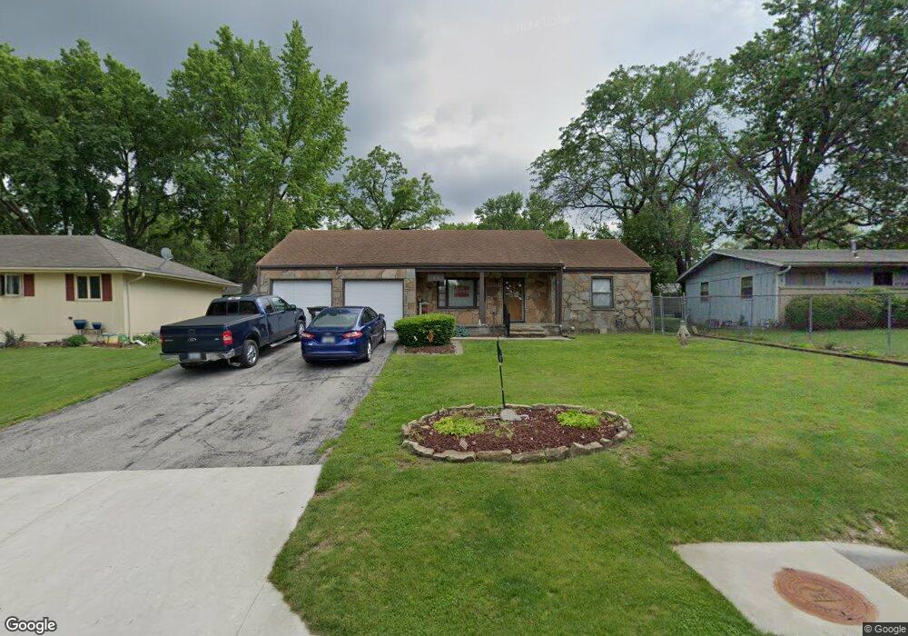
9605 E 32nd St S Independence, MO 64052
Rock Creek South NeighborhoodEstimated Value: $154,000 - $185,000
2
Beds
1
Bath
885
Sq Ft
$193/Sq Ft
Est. Value
About This Home
This home is located at 9605 E 32nd St S, Independence, MO 64052 and is currently estimated at $170,897, approximately $193 per square foot. 9605 E 32nd St S is a home located in Jackson County with nearby schools including Korte Elementary School, Clifford H. Nowlin Middle School, and Van Horn High School.
Ownership History
Date
Name
Owned For
Owner Type
Purchase Details
Closed on
Aug 23, 1996
Sold by
Novak David and Novak Annette C
Bought by
Bayliss Tony J and Bayliss Donna K
Current Estimated Value
Home Financials for this Owner
Home Financials are based on the most recent Mortgage that was taken out on this home.
Original Mortgage
$52,700
Outstanding Balance
$4,188
Interest Rate
8.27%
Mortgage Type
FHA
Estimated Equity
$166,709
Create a Home Valuation Report for This Property
The Home Valuation Report is an in-depth analysis detailing your home's value as well as a comparison with similar homes in the area
Home Values in the Area
Average Home Value in this Area
Purchase History
We collect this data history from publicly available records. To have your information removed, we recommend requesting removal directly through your county’s website.
| Date | Buyer | Sale Price | Title Company |
|---|---|---|---|
| Bayliss Tony J | -- | Old Republic Title Company |
Source: Public Records
Mortgage History
We collect this data history from publicly available records. To have your information removed, we recommend requesting removal directly through your county’s website.
| Date | Status | Borrower | Loan Amount |
|---|---|---|---|
| Open | Bayliss Tony J | $52,700 |
Source: Public Records
Tax History
| Year | Tax Paid | Tax Assessment Tax Assessment Total Assessment is a certain percentage of the fair market value that is determined by local assessors to be the total taxable value of land and additions on the property. | Land | Improvement |
|---|---|---|---|---|
| 2025 | $1,371 | $19,347 | $3,849 | $15,498 |
| 2024 | $1,338 | $19,234 | $2,689 | $16,545 |
| 2023 | $1,338 | $19,234 | $2,607 | $16,627 |
| 2022 | $1,114 | $14,630 | $2,723 | $11,907 |
| 2021 | $1,110 | $14,630 | $2,723 | $11,907 |
| 2020 | $1,146 | $14,701 | $2,723 | $11,978 |
| 2019 | $1,129 | $14,701 | $2,723 | $11,978 |
| 2018 | $1,011 | $12,795 | $2,370 | $10,425 |
| 2017 | $1,011 | $12,795 | $2,370 | $10,425 |
| 2016 | $1,009 | $12,475 | $2,153 | $10,322 |
| 2014 | $959 | $12,111 | $2,090 | $10,021 |
Source: Public Records
Map
Nearby Homes
- 9604 E 32nd St S
- 9614 E 32nd St S
- 9502 Linwood Blvd
- 3101 Blue Ridge Blvd
- 3320 Blue Ridge Blvd
- 9621 E 33rd St S
- 9309 E 30th St S
- 3401 S Denton Rd
- 9712 E 34th St S
- 3405 S Arlington Ave
- 3407 S Blue Ridge Cut Off N A
- 2817 Collin St
- 10115 E 31st St S
- 2718 S Brookside Ave
- 2909 Hunter Ave
- 9930 E 36th St S
- 3410 Blue Ridge Blvd
- 3216 S Hardy Ave
- 8911 E 29th St
- 10601 E 33rd Terrace S
- 9602 E 32nd St S
- 9606 E 32nd St S
- 9601 E 32nd St S
- 9603 E 32nd St S
- 9608 E 32nd St S
- 9516 E 32nd St S
- 9603 Linwood Blvd
- 9601 Linwood Blvd
- 9607 E 32nd St S
- 9605 Linwood Blvd
- 9610 E 32nd St S
- 9523 E 32nd St S
- 9531 Linwood Blvd
- 9607 Linwood Blvd
- 9512 E 32nd St S
- 9612 E 32nd St S
- 9609 E Linwood Blvd
- 9609 Linwood Blvd
- 9511 Linwood Blvd
- 9600 E 33rd St S
Your Personal Tour Guide
Ask me questions while you tour the home.