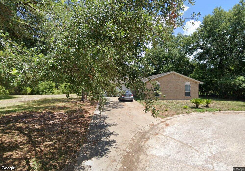
9606 Angie Ln Houston, TX 77038
North Houston NeighborhoodEstimated Value: $152,832 - $274,000
3
Beds
2
Baths
1,064
Sq Ft
$201/Sq Ft
Est. Value
About This Home
This home is located at 9606 Angie Ln, Houston, TX 77038 and is currently estimated at $213,416, approximately $200 per square foot. 9606 Angie Ln is a home located in Harris County with nearby schools including Jerry Keeble Ec/Pre-K, Goodman Elementary School, and Aldine Ninth Grade School.
Ownership History
Date
Name
Owned For
Owner Type
Purchase Details
Closed on
Dec 22, 2022
Sold by
Serrato Rosario
Bought by
Harris County Flood Control District
Current Estimated Value
Purchase Details
Closed on
Oct 13, 2008
Sold by
Truong Audrey
Bought by
Serrato Rosario and Valdez Norma Elia
Purchase Details
Closed on
Jul 9, 2008
Sold by
Truong Lamson
Bought by
Truong Audrey
Purchase Details
Closed on
Mar 26, 2004
Sold by
Associates First Capital Corp
Bought by
Truong Lamson
Purchase Details
Closed on
Oct 6, 2000
Sold by
Blb Investment Corp
Bought by
Garza Jose Luis and Garza Juanita
Home Financials for this Owner
Home Financials are based on the most recent Mortgage that was taken out on this home.
Original Mortgage
$60,500
Interest Rate
7.86%
Mortgage Type
Seller Take Back
Create a Home Valuation Report for This Property
The Home Valuation Report is an in-depth analysis detailing your home's value as well as a comparison with similar homes in the area
Home Values in the Area
Average Home Value in this Area
Purchase History
| Date | Buyer | Sale Price | Title Company |
|---|---|---|---|
| Harris County Flood Control District | $140,000 | Southland Title | |
| Serrato Rosario | -- | Startex Title | |
| Truong Audrey | -- | None Available | |
| Truong Lamson | -- | -- | |
| Garza Jose Luis | -- | First Southwestern Title Co |
Source: Public Records
Mortgage History
| Date | Status | Borrower | Loan Amount |
|---|---|---|---|
| Previous Owner | Garza Jose Luis | $60,500 |
Source: Public Records
Tax History Compared to Growth
Tax History
| Year | Tax Paid | Tax Assessment Tax Assessment Total Assessment is a certain percentage of the fair market value that is determined by local assessors to be the total taxable value of land and additions on the property. | Land | Improvement |
|---|---|---|---|---|
| 2025 | -- | -- | -- | -- |
| 2024 | -- | -- | -- | -- |
| 2023 | -- | -- | -- | -- |
| 2022 | $1,016 | $49,647 | $16,602 | $33,045 |
| 2021 | $1,069 | $49,647 | $14,646 | $35,001 |
| 2020 | $1,128 | $49,647 | $14,646 | $35,001 |
| 2019 | $1,181 | $49,647 | $14,646 | $35,001 |
| 2018 | $620 | $43,211 | $15,748 | $27,463 |
| 2017 | $1,202 | $53,031 | $15,748 | $37,283 |
| 2016 | $985 | $43,475 | $9,374 | $34,101 |
| 2015 | $970 | $43,475 | $9,374 | $34,101 |
| 2014 | $970 | $43,475 | $9,374 | $34,101 |
Source: Public Records
Map
Nearby Homes
- 0 Veterans Memorial Rd Unit 43555293
- 1326 Twin Falls Rd
- 9710 Debbie Ln
- 1119 Twin Falls Rd
- 1102 Mosher Ln
- 1330 Mosher Ln
- 907 Twin Falls Rd
- 1615 Mosher Ln
- 1011 Beaver Bend Rd
- 1710 Beaver Bend Rd
- 1907 Bunzel St
- 1806 Saddle Rock Dr Unit 770
- 2110 Mosher Ln
- 8835 Glenhouse Dr
- 9006 Winding River Dr
- 9018 Lazy River Ln
- 9022 Indian River Dr
- 10026 Lasaber Ct
- 9621 Sweetwater Ln
- 2146 Twinbrooke Dr
- 9611 Angie Ln
- 9603 Angie
- 9615 Angie Ln
- 9619 Angie Ln
- 9642 Angie Ln
- 1222 Turney Dr
- 9654 Angie Ln
- 9655 Angie Ln
- 9519 Deer Trail
- 9549 Deer Trail Dr
- 9658 Angie Ln
- 9659 Angie Ln
- 1217 Blue Bell Rd
- 9501 Deer Trail Dr
- 0 Deer Trail Rd Unit 28585891
- 9601 Deer Trail Dr
- 9666 Angie Ln
- 9502 Deer Trail Dr
- 1209 Blue Bell Rd
- 1209 Blue Bell Rd