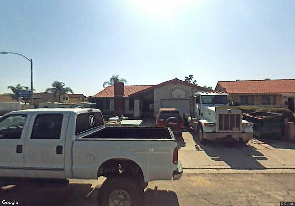
9606 Ramsgate Way Santee, CA 92071
Estimated Value: $836,000 - $974,000
4
Beds
2
Baths
1,722
Sq Ft
$519/Sq Ft
Est. Value
About This Home
This home is located at 9606 Ramsgate Way, Santee, CA 92071 and is currently estimated at $893,162, approximately $518 per square foot. 9606 Ramsgate Way is a home located in San Diego County with nearby schools including Hill Creek Elementary School, Santana High School, and River Valley Charter School.
Ownership History
Date
Name
Owned For
Owner Type
Purchase Details
Closed on
May 5, 2021
Sold by
Davies Joanne Lorraine
Bought by
Davies Family Trust and Davis
Current Estimated Value
Purchase Details
Closed on
May 3, 2021
Sold by
Fries Robin J
Bought by
Fries Robin J and Fries Christine C
Purchase Details
Closed on
Apr 29, 2021
Sold by
Davis Michael N and Davis Robert W
Bought by
Fries Robin J
Purchase Details
Closed on
Dec 5, 2005
Sold by
Davies Jo Anne L
Bought by
Davies Jo Anne L
Purchase Details
Closed on
Aug 11, 1994
Sold by
Davies Robert W and Davies Joanne L
Bought by
Davies Robert W and Davies Joanne L
Purchase Details
Closed on
Mar 29, 1994
Sold by
Roberts Irwin F and Roberts Sharon E
Bought by
Davies Robert W and Davies Joanne L
Home Financials for this Owner
Home Financials are based on the most recent Mortgage that was taken out on this home.
Original Mortgage
$141,000
Interest Rate
5.62%
Create a Home Valuation Report for This Property
The Home Valuation Report is an in-depth analysis detailing your home's value as well as a comparison with similar homes in the area
Purchase History
| Date | Buyer | Sale Price | Title Company |
|---|---|---|---|
| Davies Family Trust | -- | -- | |
| Fries Robin J | -- | First American Title | |
| Fries Robin J | -- | First American Title Company | |
| Davies Jo Anne L | -- | -- | |
| Davies Robert W | -- | United Title Company | |
| Davies Robert W | $188,000 | Fidelity National Title |
Source: Public Records
Mortgage History
| Date | Status | Borrower | Loan Amount |
|---|---|---|---|
| Previous Owner | Davies Robert W | $141,000 |
Source: Public Records
Tax History
| Year | Tax Paid | Tax Assessment Tax Assessment Total Assessment is a certain percentage of the fair market value that is determined by local assessors to be the total taxable value of land and additions on the property. | Land | Improvement |
|---|---|---|---|---|
| 2025 | $3,781 | $319,509 | $100,573 | $218,936 |
| 2024 | $3,781 | $313,245 | $98,601 | $214,644 |
| 2023 | $3,664 | $676,260 | $416,160 | $260,100 |
| 2022 | $3,651 | $301,083 | $94,773 | $206,310 |
| 2021 | $3,666 | $295,180 | $92,915 | $202,265 |
| 2020 | $3,621 | $292,155 | $91,963 | $200,192 |
| 2019 | $3,495 | $286,427 | $90,160 | $196,267 |
| 2018 | $3,424 | $280,812 | $88,393 | $192,419 |
| 2017 | $3,380 | $275,307 | $86,660 | $188,647 |
| 2016 | $3,278 | $269,910 | $84,961 | $184,949 |
| 2015 | $3,235 | $265,856 | $83,685 | $182,171 |
| 2014 | $3,170 | $260,649 | $82,046 | $178,603 |
Source: Public Records
Map
Nearby Homes
- 11033 Hillcreek Rd
- 10671 Braverman Dr
- 10664 Cobble Ct
- 10660 Braverman Dr
- 10850 2nd St
- 9241 Bloomdale St
- 9961 Cleary St
- 10161 Riverhill Ln
- 10174 Riverhill Ln
- 11034 Brookfield Ct
- 10270 Shady Meadow Loop
- 11529 Woodside Ave
- 11058 Brookfield Ct
- 11102 Shadow Hill Way
- 10252 Riverhill Ln
- 10385 Seth Way
- 11038 Larkridge St
- 10366 Rochelle Ave
- 10190 Palm Glen Dr Unit 62
- 10170 Palm Glen Dr Unit 46
- 9612 Ramsgate Way
- 9605 Hillcreek Ln
- 9615 Hillcreek Ln
- 9618 Ramsgate Way
- 10983 Hillcreek Rd
- 10971 Hillcreek Rd
- 9637 Hillcreek Ln
- 9609 Ramsgate Way
- 10991 Hillcreek Rd
- 10963 Hillcreek Rd
- 9615 Ramsgate Way
- 9624 Ramsgate Way
- 11005 Hillcreek Rd
- 9649 Hillcreek Ln
- 10951 Hillcreek Rd
- 9621 Ramsgate Way
- 10942 Hillcreek Rd
- 11015 Hillcreek Rd
- 11020 Hillcreek Rd
- 9630 Ramsgate Way
Your Personal Tour Guide
Ask me questions while you tour the home.