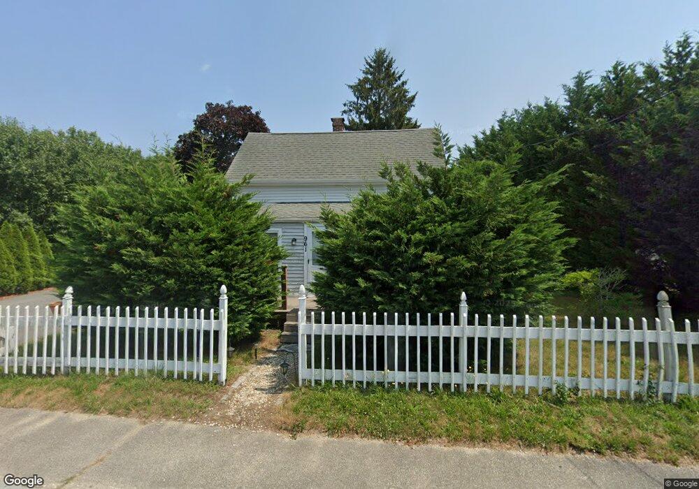
961 B Point Rd Unit B Marion, MA 02738
Estimated Value: $511,827
2
Beds
1
Bath
1,052
Sq Ft
$487/Sq Ft
Est. Value
About This Home
This home is located at 961 B Point Rd Unit B, Marion, MA 02738 and is currently estimated at $511,827, approximately $486 per square foot. 961 B Point Rd Unit B is a home located in Plymouth County with nearby schools including Old Rochester Regional High School and Tabor Academy.
Ownership History
Date
Name
Owned For
Owner Type
Purchase Details
Closed on
Jan 20, 2006
Sold by
Silva Nancy J
Bought by
Lansing Brett and Lansing Richard
Current Estimated Value
Home Financials for this Owner
Home Financials are based on the most recent Mortgage that was taken out on this home.
Original Mortgage
$149,600
Interest Rate
6.33%
Mortgage Type
Commercial
Purchase Details
Closed on
Feb 24, 2004
Sold by
Silva David M
Bought by
Silva Nancy J and Silva David M
Create a Home Valuation Report for This Property
The Home Valuation Report is an in-depth analysis detailing your home's value as well as a comparison with similar homes in the area
Home Values in the Area
Average Home Value in this Area
Purchase History
| Date | Buyer | Sale Price | Title Company |
|---|---|---|---|
| Lansing Brett | $187,000 | -- | |
| Silva Nancy J | -- | -- | |
| Silva David M | -- | -- |
Source: Public Records
Mortgage History
| Date | Status | Borrower | Loan Amount |
|---|---|---|---|
| Open | Silva David M | $160,000 | |
| Closed | Silva David M | $100,000 | |
| Closed | Silva David M | $149,600 |
Source: Public Records
Tax History Compared to Growth
Tax History
| Year | Tax Paid | Tax Assessment Tax Assessment Total Assessment is a certain percentage of the fair market value that is determined by local assessors to be the total taxable value of land and additions on the property. | Land | Improvement |
|---|---|---|---|---|
| 2025 | $3,797 | $407,400 | $161,400 | $246,000 |
| 2024 | $3,622 | $391,100 | $172,200 | $218,900 |
| 2023 | $3,733 | $395,400 | $193,700 | $201,700 |
| 2022 | $3,492 | $321,800 | $115,900 | $205,900 |
| 2021 | $3,350 | $295,900 | $96,100 | $199,800 |
| 2020 | $3,236 | $276,600 | $86,800 | $189,800 |
| 2019 | $3,051 | $276,600 | $86,800 | $189,800 |
| 2018 | $5,806 | $290,500 | $107,800 | $182,700 |
| 2017 | $3,315 | $290,500 | $107,800 | $182,700 |
| 2016 | $3,084 | $272,700 | $93,900 | $178,800 |
| 2015 | $3,083 | $277,500 | $87,700 | $189,800 |
Source: Public Records
Map
Nearby Homes
- 929 Point Rd
- 174 Wareham Rd
- 4 Rebecca Dr
- 245 Wareham Rd
- 4 Blackhall Ct
- 11 Joanne Dr
- 26 Washington Dr
- 12 Taft St
- 5 Hermitage Rd
- Lot 77E Seahorse
- Lot 77D Seahorse
- 7 Seahorse Way
- 00 Delano Rd
- 131 Dexter Rd
- 119 County Rd
- 127 County Rd
- 25 Hammetts Cove Rd
- 0 Cromesett Rd (Off) Unit 73385395
- 0 Cross Neck Rd Unit 73420524
- 0 Cross Neck Rd Unit 73420525
- 961 Point Rd
- 119 Wareham Rd Unit 104
- 119 Wareham Rd Unit 107
- 119 Wareham Rd Unit 101
- 119 Wareham Rd Unit 103
- 119 Wareham Rd Unit 105
- 119 Wareham Rd Unit 102
- 119 Wareham Rd Unit 201
- 119 Wareham Rd Unit 204
- 119 Wareham Rd Unit 206
- 119 Wareham Rd
- 965 Point Rd
- 968 Point Rd
- 945 Point Rd
- 122 Wareham Rd
- 51-59 Putnam Avene
- 133 Wareham Rd
- 118 Wareham Rd
- 974 Point Rd
- 646 Delano Rd