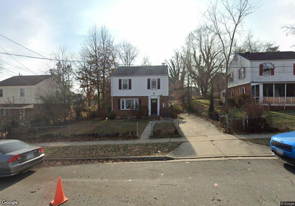
961 E West Hwy Takoma Park, MD 20912
Estimated Value: $397,000 - $429,000
--
Bed
1
Bath
1,200
Sq Ft
$343/Sq Ft
Est. Value
About This Home
This home is located at 961 E West Hwy, Takoma Park, MD 20912 and is currently estimated at $411,934, approximately $343 per square foot. 961 E West Hwy is a home located in Prince George's County with nearby schools including Carole Highlands Elementary School, Buck Lodge Middle School, and High Point High School.
Ownership History
Date
Name
Owned For
Owner Type
Purchase Details
Closed on
Feb 6, 2017
Sold by
Martin Frances E
Bought by
Ferman Yancy Y and Ferman Jose I Ventura
Current Estimated Value
Home Financials for this Owner
Home Financials are based on the most recent Mortgage that was taken out on this home.
Original Mortgage
$274,829
Interest Rate
3.89%
Mortgage Type
FHA
Purchase Details
Closed on
Aug 5, 2016
Sold by
Martin Edward Charles
Bought by
Martin Frances E
Purchase Details
Closed on
Oct 3, 2013
Sold by
Martin Frances E
Bought by
Martin Frances E and Martin Edward Charles
Create a Home Valuation Report for This Property
The Home Valuation Report is an in-depth analysis detailing your home's value as well as a comparison with similar homes in the area
Home Values in the Area
Average Home Value in this Area
Purchase History
| Date | Buyer | Sale Price | Title Company |
|---|---|---|---|
| Ferman Yancy Y | $279,900 | Quantum Title Corp | |
| Martin Frances E | -- | None Available | |
| Martin Frances E | -- | None Available |
Source: Public Records
Mortgage History
| Date | Status | Borrower | Loan Amount |
|---|---|---|---|
| Previous Owner | Ferman Yancy Y | $274,829 |
Source: Public Records
Tax History Compared to Growth
Tax History
| Year | Tax Paid | Tax Assessment Tax Assessment Total Assessment is a certain percentage of the fair market value that is determined by local assessors to be the total taxable value of land and additions on the property. | Land | Improvement |
|---|---|---|---|---|
| 2024 | $4,575 | $281,000 | $100,900 | $180,100 |
| 2023 | $3,035 | $272,933 | $0 | $0 |
| 2022 | $2,945 | $264,867 | $0 | $0 |
| 2021 | $4,334 | $256,800 | $100,400 | $156,400 |
| 2020 | $3,985 | $241,400 | $0 | $0 |
| 2019 | $3,236 | $226,000 | $0 | $0 |
| 2018 | $3,127 | $210,600 | $75,400 | $135,200 |
| 2017 | $1,241 | $189,967 | $0 | $0 |
| 2016 | -- | $169,333 | $0 | $0 |
| 2015 | $1,055 | $148,700 | $0 | $0 |
| 2014 | $1,055 | $148,700 | $0 | $0 |
Source: Public Records
Map
Nearby Homes
- 6806 10th Ave
- 1011 Hopewell Ave
- 702 Auburn Ave
- 821 Ray Rd
- 505 Belford Place
- 509 Ethan Allen Ave
- 6504 Knollbrook Dr
- 903 Heather Ave
- 6603 Medwick Dr
- 811 Sligo Creek Pkwy
- 438 Ethan Allen Ave
- 1505 Drexel St
- 925 Sligo Creek Pkwy
- 906 Luray Place
- 911 Sligo Creek Pkwy
- 1204 Raydale Rd
- 433 Ethan Allen Ave
- 6602 8th Ave
- 1611 Dayton Rd
- 418 Boyd Ave
- 963 E West Hwy
- 959 E West Hwy
- 6816 10th Ave
- 965 E West Hwy
- 6814 10th Ave
- 6823 Red Top Rd
- 6825 Red Top Rd
- 6812 10th Ave
- 1002 E West Hwy
- 1000 E West Hwy
- 1002 East-West Hwy
- 953 E West Hwy
- 6827 Red Top Rd
- 1001 East-West Hwy
- 6821 Red Top Rd
- 6810 10th Ave
- 1001 E West Hwy
- 956 E West Hwy
- 1003 Hopewell Ave
- 1001 Hopewell Ave