Estimated Value: $274,000 - $405,696
3
Beds
2
Baths
1,456
Sq Ft
$225/Sq Ft
Est. Value
About This Home
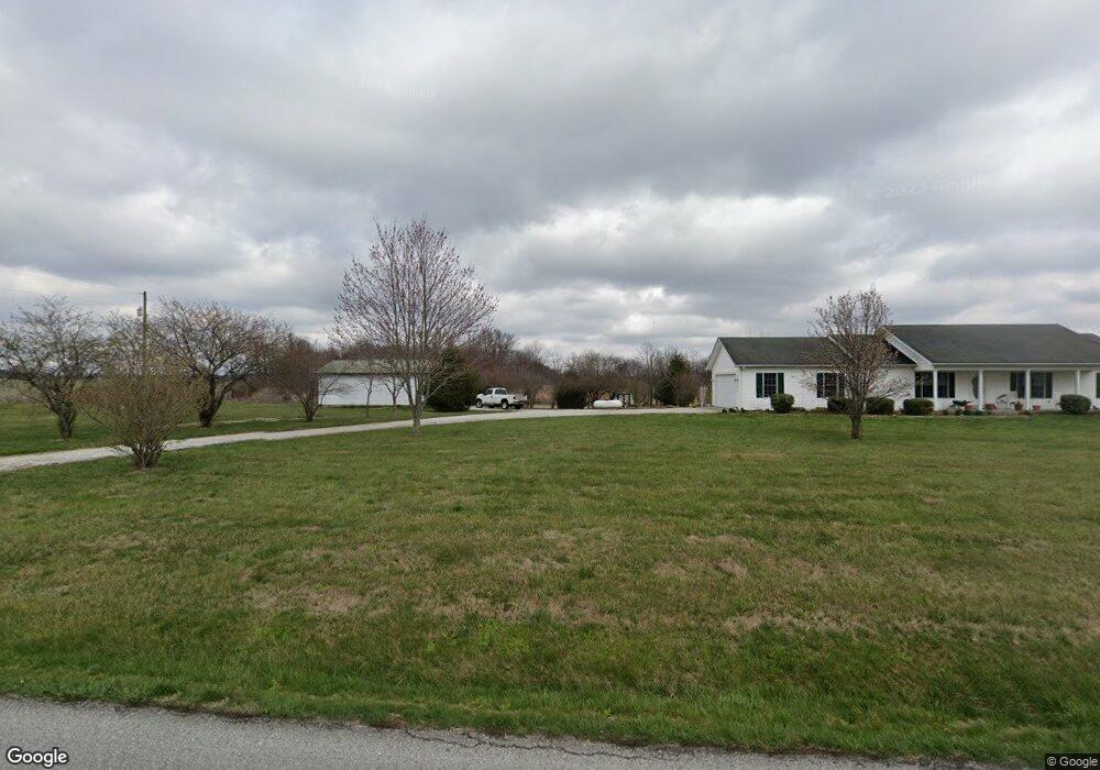
This home is located at 961 N Canton Rd S, Salem, IN 47167 and is currently estimated at $327,899, approximately $225 per square foot. 961 N Canton Rd S is a home located in Washington County with nearby schools including Bradie M. Shrum Lower Elementary School, Salem Middle School, and Salem High School.
Ownership History
Date
Name
Owned For
Owner Type
Purchase Details
Closed on
Apr 13, 2012
Sold by
Elliott John Brent and Elliott Lauren
Bought by
Wade Wron E and Wade Nona M
Current Estimated Value
Home Financials for this Owner
Home Financials are based on the most recent Mortgage that was taken out on this home.
Original Mortgage
$65,000
Outstanding Balance
$8,796
Interest Rate
3.92%
Mortgage Type
Purchase Money Mortgage
Estimated Equity
$319,103
Create a Home Valuation Report for This Property
The Home Valuation Report is an in-depth analysis detailing your home's value as well as a comparison with similar homes in the area
Home Values in the Area
Average Home Value in this Area
Purchase History
| Date | Buyer | Sale Price | Title Company |
|---|---|---|---|
| Wade Wron E | -- | None Available |
Source: Public Records
Mortgage History
| Date | Status | Borrower | Loan Amount |
|---|---|---|---|
| Open | Wade Wron E | $65,000 |
Source: Public Records
Tax History Compared to Growth
Tax History
| Year | Tax Paid | Tax Assessment Tax Assessment Total Assessment is a certain percentage of the fair market value that is determined by local assessors to be the total taxable value of land and additions on the property. | Land | Improvement |
|---|---|---|---|---|
| 2024 | $2,472 | $232,200 | $34,600 | $197,600 |
| 2023 | $2,292 | $216,300 | $32,200 | $184,100 |
| 2022 | $2,300 | $210,200 | $29,600 | $180,600 |
| 2021 | $2,138 | $188,500 | $28,300 | $160,200 |
| 2020 | $1,970 | $176,000 | $28,200 | $147,800 |
| 2019 | $3,531 | $255,800 | $100,700 | $155,100 |
| 2018 | $3,485 | $247,000 | $103,200 | $143,800 |
| 2017 | $3,478 | $259,700 | $115,700 | $144,000 |
| 2016 | $3,379 | $265,300 | $121,300 | $144,000 |
| 2014 | $3,213 | $273,700 | $126,000 | $147,700 |
| 2013 | $2,909 | $253,400 | $111,500 | $141,900 |
Source: Public Records
Map
Nearby Homes
- 3305 E Randy Ln
- 2535 E Nathans Run
- 2476 N Old 56
- 4592 Indiana 160
- 5186 E Fire Tower Rd
- 0 (Lot #8) Co Rd 1025 S Unit 202507644
- 0 E Allen Ct Unit 202129205
- 106 Macon Ave
- 505 Riverview Dr
- 0 S Brown Ln
- 1533 Indiana 60
- 120 N Brandywine Ct
- 102 Mahuron Dr
- 107 S Mcclellan Way
- 540 Colony Dr
- 805 Smith St
- 1815 N Naugle Rd
- 0 S Side South Boston Pekin Rd
- 905 Locust St
- 501 E Homer St
- Tract 10 - W N Canton Rd S
- Tract 9 - W N Canton Rd S
- 704 N Harristown Rd
- 658 N Harristown Rd
- 1207 N Canton Rd S
- 641 N Canton Rd S
- 3784 E Day Rd
- 608 N Canton Rd S
- 1280 N Canton Rd S
- 1281 N Canton Rd S
- 4115 E Canton Rd
- 1313 N Canton Rd S
- 1298 N Canton Rd S
- 4399 E Canton Rd
- 455 N Harristown Rd
- 4387 E Canton Rd
- 1367 N Canton Rd S
- 4367 E Canton Rd
- 4390 E Canton Rd
- 4349 E Canton Rd