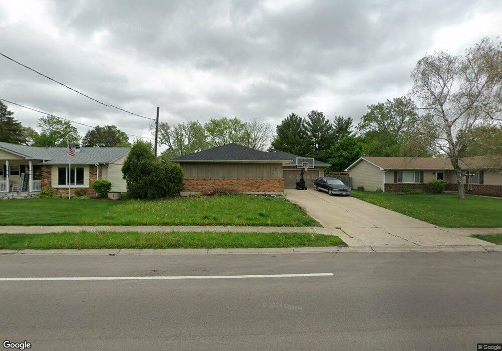
961 N Elmwood Dr Aurora, IL 60506
North River NeighborhoodEstimated Value: $296,000 - $340,000
3
Beds
3
Baths
1,479
Sq Ft
$216/Sq Ft
Est. Value
About This Home
This home is located at 961 N Elmwood Dr, Aurora, IL 60506 and is currently estimated at $319,564, approximately $216 per square foot. 961 N Elmwood Dr is a home located in Kane County with nearby schools including Smith Elementary School, Jewel Middle School, and West Aurora High School.
Ownership History
Date
Name
Owned For
Owner Type
Purchase Details
Closed on
Nov 8, 2005
Sold by
Bennett Wilton C
Bought by
Brookner Clinton R and Brookner Sherry K
Current Estimated Value
Home Financials for this Owner
Home Financials are based on the most recent Mortgage that was taken out on this home.
Original Mortgage
$164,000
Interest Rate
6.37%
Mortgage Type
Purchase Money Mortgage
Purchase Details
Closed on
Apr 9, 2001
Sold by
Eddy Robert
Bought by
Bennett Wilton C
Home Financials for this Owner
Home Financials are based on the most recent Mortgage that was taken out on this home.
Original Mortgage
$177,450
Interest Rate
7.05%
Mortgage Type
VA
Purchase Details
Closed on
Jul 14, 1994
Sold by
Eddy Barbara J and Krause Barbara J
Bought by
Eddy Robert F
Create a Home Valuation Report for This Property
The Home Valuation Report is an in-depth analysis detailing your home's value as well as a comparison with similar homes in the area
Home Values in the Area
Average Home Value in this Area
Purchase History
| Date | Buyer | Sale Price | Title Company |
|---|---|---|---|
| Brookner Clinton R | $205,000 | Multiple | |
| Bennett Wilton C | $174,000 | First American Title Ins Co | |
| Eddy Robert F | $10,000 | -- |
Source: Public Records
Mortgage History
| Date | Status | Borrower | Loan Amount |
|---|---|---|---|
| Previous Owner | Brookner Clinton R | $164,000 | |
| Previous Owner | Bennett Wilton C | $177,450 |
Source: Public Records
Tax History Compared to Growth
Tax History
| Year | Tax Paid | Tax Assessment Tax Assessment Total Assessment is a certain percentage of the fair market value that is determined by local assessors to be the total taxable value of land and additions on the property. | Land | Improvement |
|---|---|---|---|---|
| 2024 | $6,449 | $89,445 | $11,099 | $78,346 |
| 2023 | $6,160 | $79,919 | $9,917 | $70,002 |
| 2022 | $5,924 | $72,918 | $9,048 | $63,870 |
| 2021 | $5,654 | $67,888 | $8,424 | $59,464 |
| 2020 | $6,132 | $71,503 | $7,825 | $63,678 |
| 2019 | $5,961 | $66,962 | $7,250 | $59,712 |
| 2018 | $5,511 | $61,201 | $6,706 | $54,495 |
| 2017 | $5,143 | $55,969 | $6,179 | $49,790 |
| 2016 | $4,578 | $49,091 | $5,297 | $43,794 |
| 2015 | -- | $42,801 | $4,555 | $38,246 |
| 2014 | -- | $39,655 | $4,186 | $35,469 |
| 2013 | -- | $45,750 | $4,126 | $41,624 |
Source: Public Records
Map
Nearby Homes
- 910 Southbridge Dr
- 795 N Elmwood Dr
- 781 N Elmwood Dr
- 740 N Elmwood Dr
- 1104 New Haven Ave
- 1351 Monomoy St Unit D
- 1389 Monomoy St Unit B2
- 833 N Randall Rd Unit C4
- 616 Morton Ave
- 1532 Golden Oaks Pkwy
- 1035 Newcastle Ln
- 972 Westgate Dr
- 742 N Glenwood Place
- 943 Charles St
- 602 N May St
- 809 W Park Ave
- 376 Florida Ave
- 526 N View St
- 519 N View St
- 461 Sullivan Rd
- 971 N Elmwood Dr
- 955 N Elmwood Dr
- 951 N Elmwood Dr
- 981 N Elmwood Dr
- 1044 Foran Ln
- 1042 Foran Ln
- 1046 Foran Ln
- 941 N Elmwood Dr
- 1048 Foran Ln
- 966 N Elmwood Dr
- 970 N Elmwood Dr
- 1040 Foran Ln
- 950 N Elmwood Dr
- 1001 N Elmwood Dr
- 1038 Foran Ln
- 990 N Elmwood Dr
- 940 N Elmwood Dr
- 931 N Elmwood Dr
- 1007 N Elmwood Dr
- 1050 Foran Ln