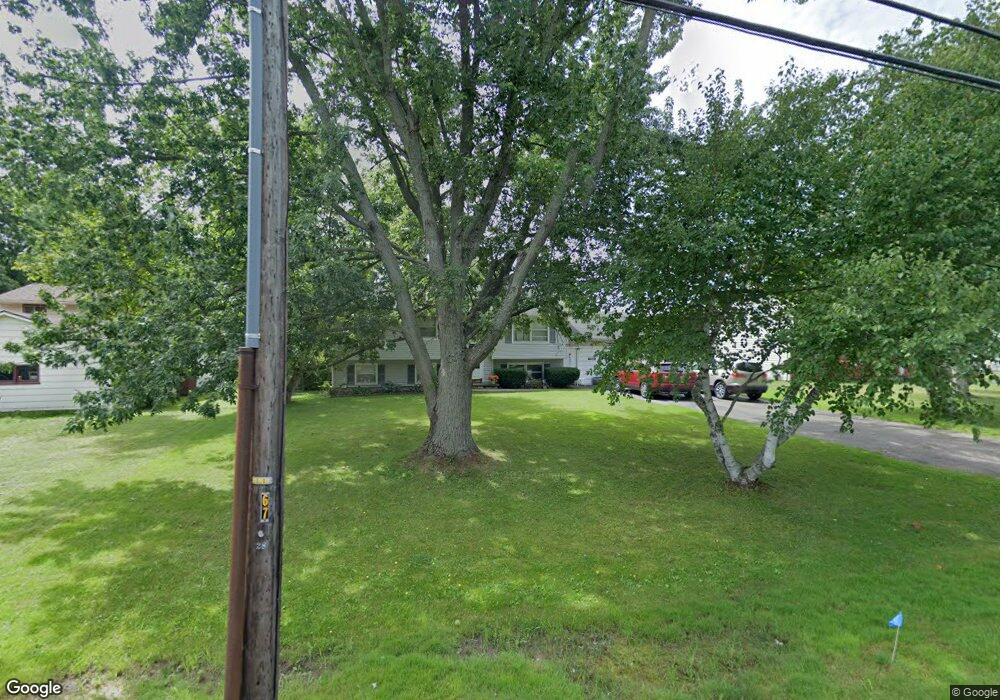
961 Paul Rd Rochester, NY 14624
Estimated Value: $274,000 - $279,000
3
Beds
2
Baths
1,993
Sq Ft
$139/Sq Ft
Est. Value
About This Home
This home is located at 961 Paul Rd, Rochester, NY 14624 and is currently estimated at $277,026, approximately $138 per square foot. 961 Paul Rd is a home located in Monroe County with nearby schools including Chestnut Ridge Elementary School, Churchville Chili Middle School 5 8, and Churchville-Chili Senior High School.
Ownership History
Date
Name
Owned For
Owner Type
Purchase Details
Closed on
Sep 27, 2006
Sold by
Pitts Osborne
Bought by
Johnson Michael
Current Estimated Value
Home Financials for this Owner
Home Financials are based on the most recent Mortgage that was taken out on this home.
Original Mortgage
$27,380
Outstanding Balance
$16,347
Interest Rate
6.47%
Mortgage Type
Stand Alone Second
Estimated Equity
$260,679
Purchase Details
Closed on
May 13, 2002
Sold by
Bouie Roosevelt
Bought by
Scott Tony
Create a Home Valuation Report for This Property
The Home Valuation Report is an in-depth analysis detailing your home's value as well as a comparison with similar homes in the area
Home Values in the Area
Average Home Value in this Area
Purchase History
| Date | Buyer | Sale Price | Title Company |
|---|---|---|---|
| Johnson Michael | $136,900 | -- | |
| Scott Tony | $87,000 | Glenn D Harris Beach |
Source: Public Records
Mortgage History
| Date | Status | Borrower | Loan Amount |
|---|---|---|---|
| Open | Johnson Michael | $27,380 | |
| Open | Johnson Michael | $109,520 |
Source: Public Records
Tax History Compared to Growth
Tax History
| Year | Tax Paid | Tax Assessment Tax Assessment Total Assessment is a certain percentage of the fair market value that is determined by local assessors to be the total taxable value of land and additions on the property. | Land | Improvement |
|---|---|---|---|---|
| 2024 | $4,650 | $198,900 | $34,100 | $164,800 |
| 2023 | $5,253 | $164,700 | $27,300 | $137,400 |
| 2022 | $5,845 | $164,700 | $27,300 | $137,400 |
| 2021 | $5,681 | $164,700 | $27,300 | $137,400 |
| 2020 | $4,976 | $143,200 | $27,300 | $115,900 |
| 2019 | $4,695 | $143,200 | $27,300 | $115,900 |
| 2018 | $4,990 | $143,200 | $27,300 | $115,900 |
| 2017 | $2,411 | $132,600 | $27,300 | $105,300 |
| 2016 | $4,695 | $132,600 | $27,300 | $105,300 |
| 2015 | -- | $132,600 | $27,300 | $105,300 |
| 2014 | -- | $132,600 | $27,300 | $105,300 |
Source: Public Records
Map
Nearby Homes
- 5 Ascot Dr
- 14 Ascot Dr
- 34 Pumpkin Hill
- 52 Foxe Commons
- 104 Stover Rd
- 5 Foxe Commons
- 271 Chestnut Ridge Rd
- 48 Brasser Dr
- 159 Chestnut Ridge Rd
- 162 Chestnut Ridge Rd
- 36 Christina Dr
- 24 Weatherwood Ln
- 11 Province Dr
- 4 Loring Place
- 6 Spicewood Ln
- 14 Sand Pebble Dr
- 29 Christina Dr
- 2017 Westside Dr
- Clarion Plan at Rose Hill Estates
- McMillion Plan at Rose Hill Estates