Estimated Value: $626,000 - $930,000
3
Beds
2
Baths
3,511
Sq Ft
$211/Sq Ft
Est. Value
About This Home
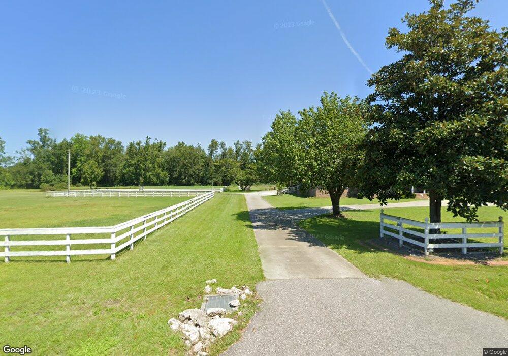
This home is located at 961 Rabon Rd, Aynor, SC 29511 and is currently estimated at $739,493, approximately $210 per square foot. 961 Rabon Rd is a home located in Horry County with nearby schools including Midland Elementary School, Aynor Middle School, and Aynor High School.
Ownership History
Date
Name
Owned For
Owner Type
Purchase Details
Closed on
Apr 12, 2021
Sold by
Mccracken Sharon Dyson
Bought by
Paraan Benedictus M and Demarest Paraan Mary
Current Estimated Value
Home Financials for this Owner
Home Financials are based on the most recent Mortgage that was taken out on this home.
Original Mortgage
$436,500
Outstanding Balance
$393,279
Interest Rate
2.87%
Mortgage Type
New Conventional
Estimated Equity
$346,214
Purchase Details
Closed on
Nov 12, 2020
Sold by
Mccracken Sharon Dyson
Bought by
Mccracken Sharon Dyson
Purchase Details
Closed on
Sep 29, 2003
Sold by
Gasque Hubert
Bought by
Gasque Sharon K
Create a Home Valuation Report for This Property
The Home Valuation Report is an in-depth analysis detailing your home's value as well as a comparison with similar homes in the area
Home Values in the Area
Average Home Value in this Area
Purchase History
| Date | Buyer | Sale Price | Title Company |
|---|---|---|---|
| Paraan Benedictus M | $485,000 | -- | |
| Mccracken Sharon Dyson | -- | -- | |
| Gasque Sharon K | -- | -- |
Source: Public Records
Mortgage History
| Date | Status | Borrower | Loan Amount |
|---|---|---|---|
| Open | Paraan Benedictus M | $436,500 |
Source: Public Records
Tax History Compared to Growth
Tax History
| Year | Tax Paid | Tax Assessment Tax Assessment Total Assessment is a certain percentage of the fair market value that is determined by local assessors to be the total taxable value of land and additions on the property. | Land | Improvement |
|---|---|---|---|---|
| 2024 | $2,542 | $30,489 | $7,472 | $23,017 |
| 2023 | $2,542 | $12,687 | $3,057 | $9,630 |
| 2021 | $6,804 | $15,424 | $3,544 | $11,880 |
| 2020 | $1,256 | $40,488 | $9,303 | $31,185 |
| 2019 | $1,256 | $40,488 | $9,303 | $31,185 |
| 2018 | $1,130 | $28,267 | $5,797 | $22,470 |
| 2017 | $1,115 | $16,153 | $3,313 | $12,840 |
| 2016 | $0 | $16,153 | $3,313 | $12,840 |
| 2015 | -- | $16,153 | $3,313 | $12,840 |
| 2014 | $1,036 | $16,153 | $3,313 | $12,840 |
Source: Public Records
Map
Nearby Homes
- 831 Rabon Rd Unit Lot 4 - Tupelo
- 821 Rabon Rd Unit Lot 3 - Magnolia
- 5.87 Acs Rabon Rd Unit Tract 4
- 713 Horry Rd
- 4393 Salem Rd
- 154 Westfield Cir Unit Lot 10 Wisteria II
- 158 Westfield Cir Unit Lot 11
- 166 Westfield Cir Unit Lot 13
- 166 Westfield Cir
- 153 Westfield Cir
- 153 Westfield Cir Unit Lot 68
- 157 Westfield Cir Unit Lot 67 Bailey II
- 157 Westfield Cir
- 161 Westfield Cir Unit Lot 66
- 127 Westfield Cir Unit Lot 69
- 169 Westfield Cir Unit Lot 64
- 119 Westfield Cir Unit Lot 71 Odessa II
- 115 Westfield Cir Unit Lot 72 Courtland II
- 115 Westfield Cir
- Courtland II Plan at Westfield