961 Seapowet Ave Tiverton, RI 02878
South Tiverton NeighborhoodEstimated Value: $3,084,000 - $5,503,000
6
Beds
7
Baths
8,414
Sq Ft
$496/Sq Ft
Est. Value
About This Home
This home is located at 961 Seapowet Ave, Tiverton, RI 02878 and is currently estimated at $4,169,619, approximately $495 per square foot. 961 Seapowet Ave is a home located in Newport County with nearby schools including Tiverton High School.
Ownership History
Date
Name
Owned For
Owner Type
Purchase Details
Closed on
Oct 23, 2014
Sold by
G Scott Nebergall T
Bought by
G Scott Nebergall T
Current Estimated Value
Purchase Details
Closed on
Dec 21, 2012
Sold by
Nebergall G S Est
Bought by
G S Nebergall T
Purchase Details
Closed on
Dec 14, 2012
Sold by
Nebergall G Scott Est
Bought by
G Scott Nebergall T
Create a Home Valuation Report for This Property
The Home Valuation Report is an in-depth analysis detailing your home's value as well as a comparison with similar homes in the area
Home Values in the Area
Average Home Value in this Area
Purchase History
| Date | Buyer | Sale Price | Title Company |
|---|---|---|---|
| G Scott Nebergall T | -- | -- | |
| G S Nebergall T | -- | -- | |
| G Scott Nebergall T | -- | -- |
Source: Public Records
Mortgage History
| Date | Status | Borrower | Loan Amount |
|---|---|---|---|
| Previous Owner | G Scott Nebergall T | $300,000 | |
| Previous Owner | G Scott Nebergall T | $200,000 | |
| Previous Owner | G Scott Nebergall T | $500,000 |
Source: Public Records
Tax History Compared to Growth
Tax History
| Year | Tax Paid | Tax Assessment Tax Assessment Total Assessment is a certain percentage of the fair market value that is determined by local assessors to be the total taxable value of land and additions on the property. | Land | Improvement |
|---|---|---|---|---|
| 2025 | $36,833 | $3,333,300 | $1,140,800 | $2,192,500 |
| 2024 | $36,833 | $3,333,300 | $1,140,800 | $2,192,500 |
| 2023 | $36,442 | $2,445,800 | $828,600 | $1,617,200 |
| 2022 | $35,782 | $2,445,800 | $828,600 | $1,617,200 |
| 2021 | $34,902 | $2,445,800 | $828,600 | $1,617,200 |
| 2020 | $37,669 | $2,326,700 | $1,112,300 | $1,214,400 |
| 2019 | $36,739 | $2,326,700 | $1,112,300 | $1,214,400 |
| 2018 | $38,135 | $2,326,700 | $1,112,300 | $1,214,400 |
| 2017 | $44,739 | $2,348,500 | $1,112,300 | $1,236,200 |
| 2016 | $44,950 | $2,348,500 | $1,112,300 | $1,236,200 |
| 2015 | $44,950 | $2,348,500 | $1,112,300 | $1,236,200 |
| 2014 | $48,707 | $2,523,700 | $1,149,300 | $1,374,400 |
Source: Public Records
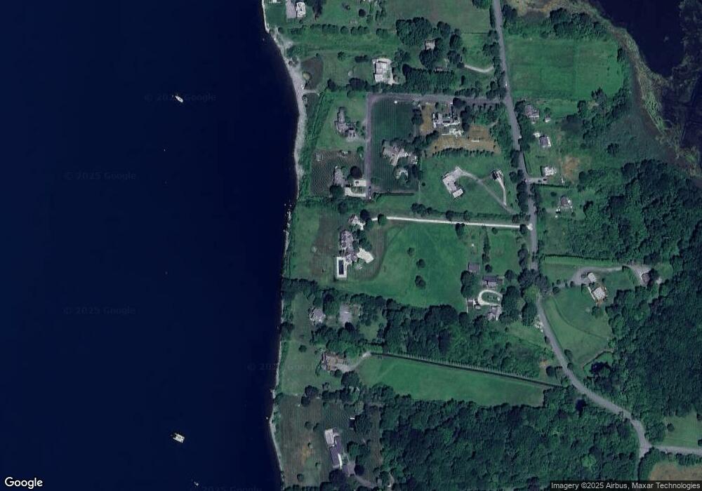
Map
Nearby Homes
- 87 Little Harbor Rd
- 40 Little Harbor Rd
- 63 Little Harbor Rd
- 1013 Seapowet Ave
- 939 Seapowet Ave
- 24 Little Harbor Rd
- 1027 Seapowet Ave
- 891 Seapowet Ave
- 991 Seapowet Ave
- 887 Seapowet Ave
- 940 Seapowet Ave
- 934 Seapowet Ave
- 930 Seapowet Ave
- 952 Seapowet Ave
- 143 Lot 0 Seapowet Ave
- 135 Driftwood Dr
- 877 Seapowet Ave
- 865 Seapowet Ave
- 143 Seapowet Ave
- 121 Driftwood Dr