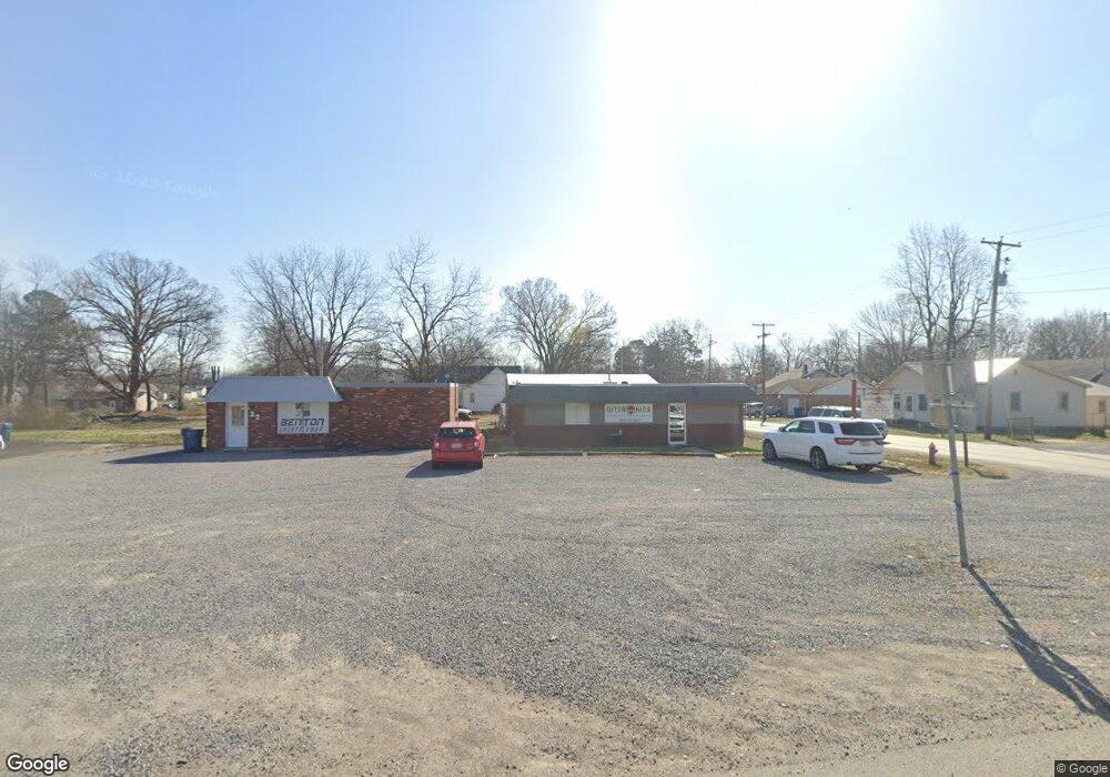
961 State Highway A Benton, MO 63736
Estimated Value: $129,732 - $232,000
--
Bed
--
Bath
1,270
Sq Ft
$144/Sq Ft
Est. Value
About This Home
This home is located at 961 State Highway A, Benton, MO 63736 and is currently estimated at $182,433, approximately $143 per square foot. 961 State Highway A is a home with nearby schools including Kelso Elementary School.
Ownership History
Date
Name
Owned For
Owner Type
Purchase Details
Closed on
Dec 29, 2023
Sold by
Kielhofner Gabriel B and Kielhofner Morgan A
Bought by
Schmitt Shawna A
Current Estimated Value
Purchase Details
Closed on
Oct 25, 2019
Sold by
Kielhofner Gabriel S and Kielhofner Morgan A Grigsby
Bought by
Kielhofner Gabriel S and Kielhofner Morgan A
Home Financials for this Owner
Home Financials are based on the most recent Mortgage that was taken out on this home.
Original Mortgage
$143,300
Interest Rate
3.7%
Purchase Details
Closed on
Jan 4, 2019
Sold by
Beardslee Tyler V and Beardslee Paris
Bought by
Kielhofner Gabriel S and Grigsby Morgan A
Home Financials for this Owner
Home Financials are based on the most recent Mortgage that was taken out on this home.
Original Mortgage
$149,713
Interest Rate
4.8%
Mortgage Type
New Conventional
Create a Home Valuation Report for This Property
The Home Valuation Report is an in-depth analysis detailing your home's value as well as a comparison with similar homes in the area
Home Values in the Area
Average Home Value in this Area
Purchase History
| Date | Buyer | Sale Price | Title Company |
|---|---|---|---|
| Schmitt Shawna A | -- | Semo Title Company | |
| Kielhofner Gabriel S | -- | Alliance Title | |
| Kielhofner Gabriel S | -- | Semo Title Company |
Source: Public Records
Mortgage History
| Date | Status | Borrower | Loan Amount |
|---|---|---|---|
| Previous Owner | Kielhofner Gabriel S | $143,300 | |
| Previous Owner | Kielhofner Gabriel S | $149,713 |
Source: Public Records
Tax History Compared to Growth
Tax History
| Year | Tax Paid | Tax Assessment Tax Assessment Total Assessment is a certain percentage of the fair market value that is determined by local assessors to be the total taxable value of land and additions on the property. | Land | Improvement |
|---|---|---|---|---|
| 2025 | $482 | $11,230 | $0 | $0 |
| 2024 | $482 | $10,060 | $0 | $0 |
| 2023 | $481 | $10,060 | $0 | $0 |
| 2022 | $465 | $9,670 | $0 | $0 |
| 2021 | $478 | $9,670 | $0 | $0 |
| 2020 | $375 | $9,280 | $0 | $0 |
| 2019 | -- | $9,280 | $0 | $0 |
| 2018 | -- | $9,280 | $0 | $0 |
| 2017 | -- | $9,280 | $0 | $0 |
| 2014 | -- | $9,150 | $0 | $0 |
| 2011 | -- | $9,160 | $0 | $0 |
Source: Public Records
Map
Nearby Homes
- 1064 State Highway A
- 184 Country View Dr
- 22 N New Madrid St
- 430 Bertha E Dumey Dr
- 420 Bertha E Dumey Dr
- 435 Bertha E Dumey Dr
- 425 Bertha E Dumey Dr
- 225 Ervin L Dumey Dr
- 320 Bertha E Dumey Dr
- 330 Bertha E Dumey Dr
- 325 Bertha E Dumey Dr
- 340 Bertha E Dumey Dr
- 335 Bertha E Dumey Dr
- 000 County Highway 217
- 112 Park Rd
- 111 County Highway 250
- 408 Bell Ln
- 104 N Missouri Ave
- 202 Elm St
- 2371 County Highway 401