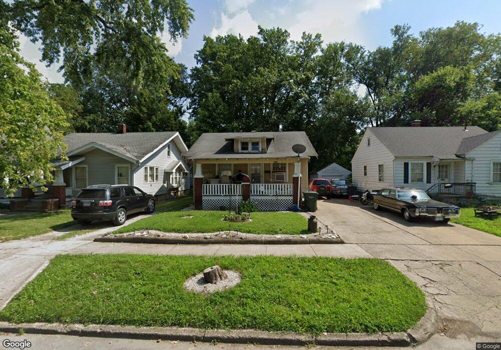
961 W Packard St Decatur, IL 62522
Garfield Park NeighborhoodEstimated Value: $34,000 - $45,000
--
Bed
--
Bath
884
Sq Ft
$43/Sq Ft
Est. Value
About This Home
This home is located at 961 W Packard St, Decatur, IL 62522 and is currently estimated at $37,760, approximately $42 per square foot. 961 W Packard St is a home located in Macon County with nearby schools including Stephen Decatur Middle School, St. Patrick School, and Teen Challenge-Home For Girls.
Ownership History
Date
Name
Owned For
Owner Type
Purchase Details
Closed on
Apr 19, 2021
Sold by
Tschosik Brian and Lovekamp Terry
Bought by
Cliff Danny R
Current Estimated Value
Purchase Details
Closed on
May 27, 2008
Sold by
Mahnke Kenneth
Bought by
Lovekamp Terry and Tschosik Brian
Purchase Details
Closed on
May 1, 1998
Create a Home Valuation Report for This Property
The Home Valuation Report is an in-depth analysis detailing your home's value as well as a comparison with similar homes in the area
Home Values in the Area
Average Home Value in this Area
Purchase History
| Date | Buyer | Sale Price | Title Company |
|---|---|---|---|
| Cliff Danny R | $4,000 | None Available | |
| Lovekamp Terry | -- | None Available | |
| -- | $11,500 | -- |
Source: Public Records
Tax History Compared to Growth
Tax History
| Year | Tax Paid | Tax Assessment Tax Assessment Total Assessment is a certain percentage of the fair market value that is determined by local assessors to be the total taxable value of land and additions on the property. | Land | Improvement |
|---|---|---|---|---|
| 2024 | $605 | $6,251 | $437 | $5,814 |
| 2023 | $600 | $6,030 | $422 | $5,608 |
| 2022 | $581 | $5,685 | $390 | $5,295 |
| 2021 | $546 | $5,310 | $365 | $4,945 |
| 2020 | $539 | $5,065 | $349 | $4,716 |
| 2019 | $539 | $5,065 | $349 | $4,716 |
| 2018 | $582 | $5,540 | $282 | $5,258 |
| 2017 | $596 | $5,688 | $290 | $5,398 |
| 2016 | $607 | $5,746 | $293 | $5,453 |
| 2015 | $577 | $5,645 | $288 | $5,357 |
| 2014 | $582 | $6,076 | $222 | $5,854 |
| 2013 | $602 | $6,304 | $230 | $6,074 |
Source: Public Records
Map
Nearby Homes
- 837 W Grand Ave
- 1065 W Green St
- 917 N Wilder Ave
- 875 N Monroe St
- 933 W Division St
- 1545 N Monroe St
- 1504 N Monroe St
- 1653 N Maple Ave
- 1319 W Waggoner St
- 925 W Olive St
- 415 W Green St
- 844 N Edward St
- 644 W Division St
- 1245 N Union St
- 958 W William St
- 1451 W Marietta St
- 1458 N Union St
- 254 N Pine St
- 1535 N Mcclellan Ave
- 1530 W Cushing St
- 953 W Packard St
- 971 W Packard St
- 945 W Packard St
- 960 W Packard St
- 968 W Packard St
- 952 W Packard St
- 937 W Packard St
- 944 W Packard St
- 987 W Packard St
- 989 W Packard St
- 936 W Packard St
- 929 W Packard St
- 974 W Packard St
- 997 W Packard St
- 982 W Packard St
- 984 W Packard St
- 928 W Packard St
- 1070 N Dunham Ave
- 918 W Packard St
- 905 W Packard St