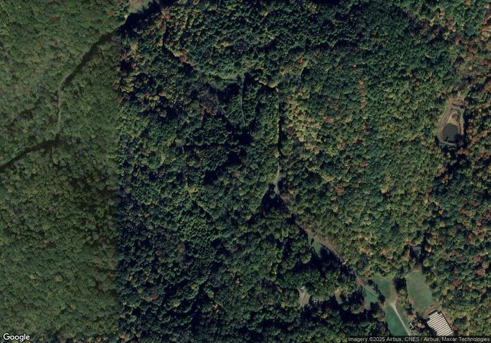
961 Wilson Branch Rd Mars Hill, NC 28754
Estimated Value: $2,305,000 - $5,370,000
--
Bed
--
Bath
5,936
Sq Ft
$672/Sq Ft
Est. Value
About This Home
This home is located at 961 Wilson Branch Rd, Mars Hill, NC 28754 and is currently estimated at $3,990,151, approximately $672 per square foot. 961 Wilson Branch Rd is a home with nearby schools including Madison Middle School.
Ownership History
Date
Name
Owned For
Owner Type
Purchase Details
Closed on
Feb 13, 2012
Sold by
Sunnyside Elevator Inc
Bought by
Sunnyside Management Inc
Current Estimated Value
Purchase Details
Closed on
Apr 28, 2009
Sold by
Southtech Holdings Inc
Bought by
Sunnyside Elevator Inc
Purchase Details
Closed on
Apr 9, 2009
Sold by
Southtech Holdings Inc
Bought by
Sunnyside Elevator Inc
Create a Home Valuation Report for This Property
The Home Valuation Report is an in-depth analysis detailing your home's value as well as a comparison with similar homes in the area
Home Values in the Area
Average Home Value in this Area
Purchase History
| Date | Buyer | Sale Price | Title Company |
|---|---|---|---|
| Sunnyside Management Inc | -- | None Available | |
| Sunnyside Elevator Inc | -- | None Available | |
| Sunnyside Elevator Inc | -- | None Available |
Source: Public Records
Tax History Compared to Growth
Tax History
| Year | Tax Paid | Tax Assessment Tax Assessment Total Assessment is a certain percentage of the fair market value that is determined by local assessors to be the total taxable value of land and additions on the property. | Land | Improvement |
|---|---|---|---|---|
| 2024 | $23,719 | $5,030,910 | $3,740,064 | $1,290,846 |
| 2023 | $11,307 | $1,916,403 | $1,216,936 | $699,467 |
| 2022 | $11,307 | $1,916,403 | $1,216,936 | $699,467 |
| 2021 | $11,307 | $1,916,403 | $1,216,936 | $699,467 |
| 2020 | $11,307 | $1,916,403 | $1,216,936 | $699,467 |
| 2019 | $10,897 | $1,702,652 | $817,624 | $885,028 |
| 2018 | $10,386 | $0 | $0 | $0 |
| 2017 | $10,386 | $0 | $0 | $0 |
| 2016 | $10,386 | $0 | $0 | $0 |
| 2015 | -- | $0 | $0 | $0 |
| 2014 | -- | $1,702,652 | $817,624 | $885,028 |
| 2013 | -- | $1,702,652 | $817,624 | $885,028 |
Source: Public Records
Map
Nearby Homes
- 34 Laurel Heights
- 220 Screaming Eagle Dr
- Lot 43 Black Bear Run
- Lot 45 Black Bear Run
- Lot 44 Black Bear Run
- 999 Airport Rd Unit 34
- 51 Airport Rd
- 110 Red Wolf Ln
- 9 Susanna Cove Rd
- 1400 Watershed Rd
- 100 Susanna Cove Rd
- Lot K-10 Breakaway Trail S Unit K-10
- Lot 28 Breakaway Trail S Unit 28
- Lot 27 Breakaway Trail S Unit 27
- Lot 12 Breakaway Trail S Unit 12
- Lot 7 Breakaway Trail S Unit 7
- 115 Breakaway Trail
- Lot K-2 Mallory Square Unit K-2
- Lot K-1 Mallory Square Unit K-1
- Lot 54 Mystic Ridge Dr Unit 54
- 87 Wolf Pit Rd
- 2059 Puncheon Fork Rd
- 1845 Puncheon Fork Rd Unit 17 acres
- 1600 Puncheon Fork Rd
- 2315 Puncheon Fork Rd
- 1530 Puncheon Fork Rd
- 2443 Puncheon Fork Rd
- 565 Northern Orchard Dr
- 537 Wilson Branch Rd
- 0000 Main St
- 2535 Puncheon Fork Rd
- 1520 Puncheon Fork Rd
- 2900 Puncheon Fork Rd
- 555 Clindon Cove
- 390 English Cemetary Dr
- 1443 Puncheon Fork Rd
- 2854 Puncheon Fork Rd
- 2854 Puncheon Fork Rd
- 2854 Puncheon Fork Rd
- 2854 Puncheon Fork Rd
