Estimated Value: $340,000 - $570,000
3
Beds
2
Baths
1,053
Sq Ft
$389/Sq Ft
Est. Value
About This Home
This home is located at 961 Youngs Ridge Rd, Acton, ME 04001 and is currently estimated at $409,166, approximately $388 per square foot. 961 Youngs Ridge Rd is a home located in York County with nearby schools including Acton Elementary School.
Ownership History
Date
Name
Owned For
Owner Type
Purchase Details
Closed on
Nov 2, 2005
Sold by
James Sherry A
Bought by
Main Patrick B and James Sherry A
Current Estimated Value
Home Financials for this Owner
Home Financials are based on the most recent Mortgage that was taken out on this home.
Original Mortgage
$189,000
Interest Rate
6%
Mortgage Type
Commercial
Create a Home Valuation Report for This Property
The Home Valuation Report is an in-depth analysis detailing your home's value as well as a comparison with similar homes in the area
Home Values in the Area
Average Home Value in this Area
Purchase History
| Date | Buyer | Sale Price | Title Company |
|---|---|---|---|
| Main Patrick B | -- | -- |
Source: Public Records
Mortgage History
| Date | Status | Borrower | Loan Amount |
|---|---|---|---|
| Closed | Main Patrick B | $189,000 |
Source: Public Records
Tax History Compared to Growth
Tax History
| Year | Tax Paid | Tax Assessment Tax Assessment Total Assessment is a certain percentage of the fair market value that is determined by local assessors to be the total taxable value of land and additions on the property. | Land | Improvement |
|---|---|---|---|---|
| 2024 | $1,535 | $217,100 | $88,368 | $128,732 |
| 2023 | $1,400 | $217,100 | $88,368 | $128,732 |
| 2022 | $1,327 | $111,034 | $44,266 | $66,768 |
| 2021 | $1,327 | $111,034 | $44,266 | $66,768 |
| 2020 | $1,338 | $111,034 | $44,266 | $66,768 |
| 2019 | $1,338 | $111,034 | $44,266 | $66,768 |
| 2018 | $1,338 | $111,034 | $44,266 | $66,768 |
| 2017 | $1,321 | $111,034 | $44,266 | $66,768 |
| 2016 | $1,249 | $111,034 | $44,266 | $66,768 |
| 2015 | $1,282 | $111,034 | $44,266 | $66,768 |
| 2014 | $1,232 | $111,034 | $44,266 | $66,768 |
Source: Public Records
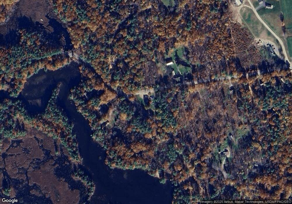
Map
Nearby Homes
- 163 Buzzell Rd
- 630 Youngs Ridge Rd
- Lot 13 Ridge Way
- Lot 11 Ridge Way
- 57 Priscilla Ln
- TBD Mann Rd
- 284 Abbott Rd
- Lot #021 Abbott Rd
- 271 Red Gate Ln
- 347 Anderson Cove Rd
- 1618 Acton Ridge Rd
- 204 Acton Ridge Rd Unit 204
- 2620 Maine 109
- 228 Garvin Rd
- 253 Asbury Ln
- 97 Daniel Dr
- 57 Green Bay Rd
- TBD Hopper
- 0 Island Dr
- 419 Lovell Lake Rd
- 406 New Bridge Rd
- 931 Youngs Ridge Rd
- 250 New Bridge Rd
- 926 Youngs Ridge Rd
- 1514 Canal Rd
- 523 New Bridge Rd
- 523 Newbridge Rd
- 1499 Canal Rd
- 171 Mountain View Dr
- 168 Mountain View Dr
- 881 Youngs Ridge Rd
- 135 Mountain View Dr
- 134 Mountain View Dr
- 851 Youngs Ridge Rd
- 117 Mountain View Dr
- 387 New Bridge Rd
- 384 New Bridge Rd
- 375 New Bridge Rd
- 11 Hams Camp Rd
- 25 Hams Camp Rd Unit Lot 25 & 3