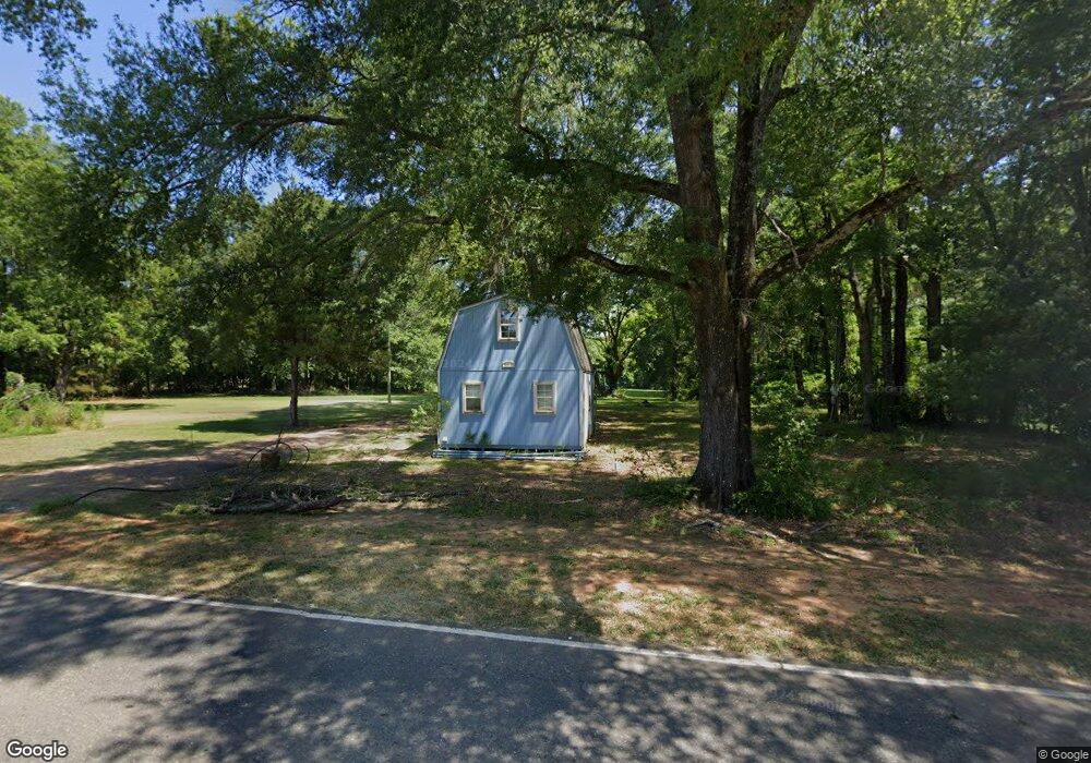
9610 Highway 80 Simsboro, LA 71275
Estimated Value: $59,000 - $73,000
1
Bed
1
Bath
574
Sq Ft
$115/Sq Ft
Est. Value
About This Home
This home is located at 9610 Highway 80, Simsboro, LA 71275 and is currently estimated at $65,961, approximately $114 per square foot. 9610 Highway 80 is a home located in Lincoln Parish with nearby schools including Simsboro High School.
Ownership History
Date
Name
Owned For
Owner Type
Purchase Details
Closed on
Apr 19, 2010
Sold by
Philpot Wilson Donald Scott and Philpot Wilson Debbie Kaye
Bought by
Posey Clyde Lee and Posey Judith James
Current Estimated Value
Home Financials for this Owner
Home Financials are based on the most recent Mortgage that was taken out on this home.
Original Mortgage
$25,711
Outstanding Balance
$17,039
Interest Rate
4.9%
Mortgage Type
Future Advance Clause Open End Mortgage
Estimated Equity
$48,922
Create a Home Valuation Report for This Property
The Home Valuation Report is an in-depth analysis detailing your home's value as well as a comparison with similar homes in the area
Home Values in the Area
Average Home Value in this Area
Purchase History
| Date | Buyer | Sale Price | Title Company |
|---|---|---|---|
| Posey Clyde Lee | $32,000 | None Available |
Source: Public Records
Mortgage History
| Date | Status | Borrower | Loan Amount |
|---|---|---|---|
| Open | Posey Clyde Lee | $25,711 |
Source: Public Records
Tax History Compared to Growth
Tax History
| Year | Tax Paid | Tax Assessment Tax Assessment Total Assessment is a certain percentage of the fair market value that is determined by local assessors to be the total taxable value of land and additions on the property. | Land | Improvement |
|---|---|---|---|---|
| 2024 | $340 | $3,304 | $1,582 | $1,722 |
| 2023 | $388 | $3,786 | $1,461 | $2,325 |
| 2022 | $365 | $3,786 | $1,461 | $2,325 |
| 2021 | $362 | $3,787 | $1,461 | $2,326 |
| 2020 | $337 | $3,424 | $1,461 | $1,963 |
| 2019 | $335 | $3,424 | $1,461 | $1,963 |
| 2018 | $330 | $3,424 | $1,461 | $1,963 |
| 2017 | $330 | $3,424 | $1,461 | $1,963 |
| 2016 | $331 | $0 | $0 | $0 |
| 2015 | $344 | $3,316 | $1,419 | $1,897 |
| 2013 | $365 | $3,527 | $1,419 | $2,108 |
Source: Public Records
Map
Nearby Homes
- 136 Louisa St
- 119 Walnut Creek Rd
- 9459 U S 80
- 1892 Highway 507
- 5325 Louisiana 563
- 430 Par Road 307
- 0 Louisiana 3074 Unit Tract 1
- 130 Doyston Rd
- 0 Bennett Rd
- 119 Cove View Rd
- 359 Madden Rd
- 1021 Rwe Jones Dr
- 1140 Rwe Jones Dr
- 136 Carver Ave
- 290 Main St
- 1207 Martha Dr
- 0 Madden Rd
- 00 Madden Rd
- 000 Madden Rd
- 102 Park St Unit 104
- 9610 Highway 80
- 9602 Highway 80
- 9589 Highway 80
- 9611 Highway 80
- 239 Second St
- 9586 Highway 80
- 9581 Highway 80
- 9573 Highway 80
- 9565 Highway 80
- 9577 Highway 80
- 220 Second St
- 248 2nd St
- 248 Second St
- 9561 Highway 80
- 9660 Highway 80
- 9663 Highway 80
- 9669 Highway 80
- 9545 Highway 80
- 9532 U S 80
- 147 Allen St