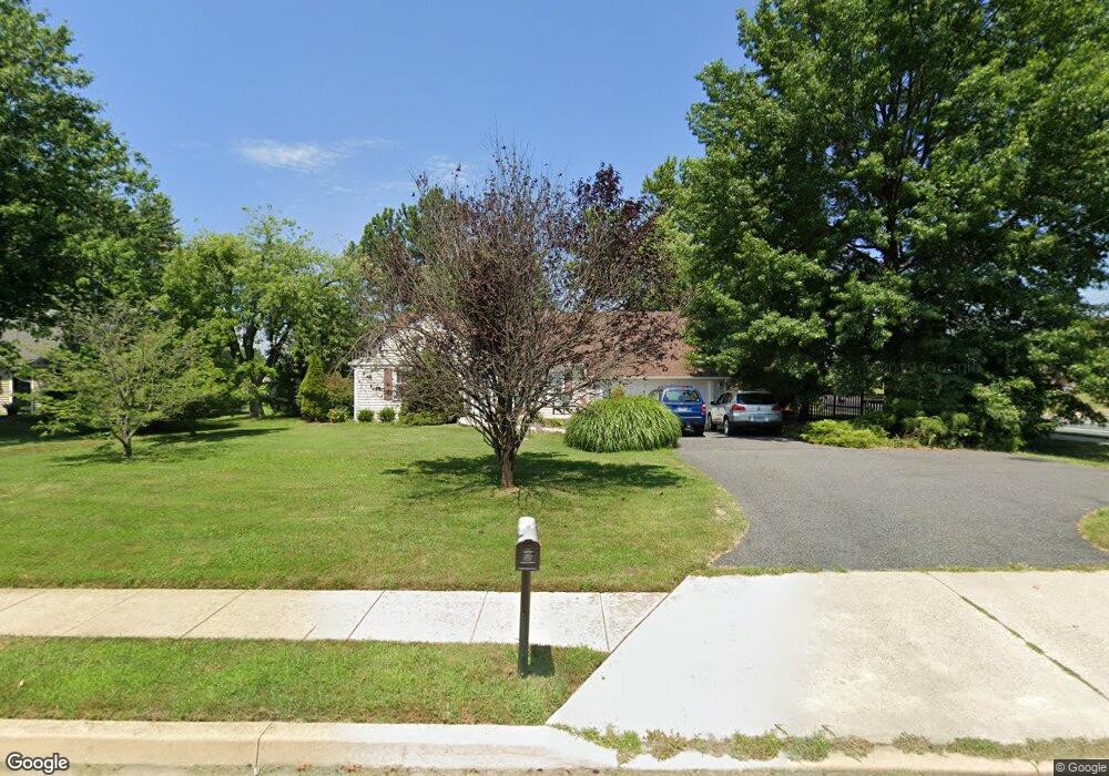
9612 Cross Rd Perry Hall, MD 21128
Estimated Value: $428,000 - $485,000
Studio
1
Bath
2,569
Sq Ft
$177/Sq Ft
Est. Value
About This Home
This home is located at 9612 Cross Rd, Perry Hall, MD 21128 and is currently estimated at $455,385, approximately $177 per square foot. 9612 Cross Rd is a home located in Baltimore County with nearby schools including Honeygo Elementary School, Perry Hall Middle School, and Perry Hall High School.
Ownership History
Date
Name
Owned For
Owner Type
Purchase Details
Closed on
Aug 14, 2020
Sold by
Leary Rose Ann O and Leary James O
Bought by
Dely Bridget
Current Estimated Value
Home Financials for this Owner
Home Financials are based on the most recent Mortgage that was taken out on this home.
Original Mortgage
$240,000
Interest Rate
2.9%
Mortgage Type
New Conventional
Purchase Details
Closed on
May 3, 1989
Sold by
Potter Paul R
Bought by
Oleary Rose Ann and Oleary James P
Create a Home Valuation Report for This Property
The Home Valuation Report is an in-depth analysis detailing your home's value as well as a comparison with similar homes in the area
Home Values in the Area
Average Home Value in this Area
Purchase History
| Date | Buyer | Sale Price | Title Company |
|---|---|---|---|
| Dely Bridget | $300,000 | Mid Atlantic Stlmt Svcs Llc | |
| Oleary Rose Ann | $150,000 | -- |
Source: Public Records
Mortgage History
| Date | Status | Borrower | Loan Amount |
|---|---|---|---|
| Previous Owner | Dely Bridget | $240,000 |
Source: Public Records
Tax History
| Year | Tax Paid | Tax Assessment Tax Assessment Total Assessment is a certain percentage of the fair market value that is determined by local assessors to be the total taxable value of land and additions on the property. | Land | Improvement |
|---|---|---|---|---|
| 2025 | $4,589 | $358,300 | -- | -- |
| 2024 | $4,589 | $325,100 | $0 | $0 |
| 2023 | $2,093 | $291,900 | $84,500 | $207,400 |
| 2022 | $4,118 | $285,000 | $0 | $0 |
| 2021 | $3,795 | $278,100 | $0 | $0 |
| 2020 | $3,928 | $271,200 | $84,500 | $186,700 |
| 2019 | $3,226 | $266,200 | $0 | $0 |
| 2018 | $3,759 | $261,200 | $0 | $0 |
| 2017 | $3,589 | $256,200 | $0 | $0 |
| 2016 | $3,573 | $250,933 | $0 | $0 |
| 2015 | $3,573 | $245,667 | $0 | $0 |
| 2014 | $3,573 | $240,400 | $0 | $0 |
Source: Public Records
Map
Nearby Homes
- 9606 Amberleigh Ln Unit C
- 9608 Amberleigh Ln Unit R
- 9602 Haven Farm Rd
- 9604 Haven Farm Rd Unit B
- 9501 Robin Meadow Ct
- 9608 Haven Farm Rd Unit M
- 9501 Kingscroft Terrace Unit K
- 3 Brook Farm Ct Unit 3J
- 9500 Chase Creek Ct
- 4413 Pensel Rd
- 17 Brook Farm Ct Unit M
- 9708 Redwing Dr
- 9 Brook Farm Ct Unit G
- 9416 Reidel Rd
- 9711 Harvester Cir
- 5026 Strawbridge Terrace
- 4210 Germantown Way
- 9560 Harvest Ln
- 9434 Founders Ln
- 9432 Founders Ln
- 9608 Cross Rd
- 9600 Cross Rd
- 4403 Augusta Way
- 9714 Silver Farm Ct
- 4405 Augusta Way
- 4401 Augusta Way
- 4407 Augusta Way
- 4500 Dunton Terrace Unit 8500A
- 9712 Silver Farm Ct
- 4320 Florio Dr
- 9716 Silver Farm Ct
- 4500 Dunton Terrace Unit 8500E
- 4500 Dunton Terrace Unit 8500
- 4500 Dunton Terrace Unit C
- 4500 Dunton Terrace Unit B
- 4500 Dunton Terrace Unit K
- 4500 Dunton Terrace Unit F
- 4500 Dunton Terrace Unit J
- 4500 Dunton Terrace Unit M
- 4500 Dunton Terrace Unit A
Your Personal Tour Guide
Ask me questions while you tour the home.