9612 W Oraibi Dr Unit 110 Peoria, AZ 85382
Estimated Value: $338,639 - $409,000
2
Beds
2
Baths
1,402
Sq Ft
$265/Sq Ft
Est. Value
About This Home
This home is located at 9612 W Oraibi Dr Unit 110, Peoria, AZ 85382 and is currently estimated at $371,410, approximately $264 per square foot. 9612 W Oraibi Dr Unit 110 is a home located in Maricopa County with nearby schools including Apache Elementary School, Sunrise Mountain High School, and Sonoran Science Academy-Peoria.
Ownership History
Date
Name
Owned For
Owner Type
Purchase Details
Closed on
Jan 4, 2018
Sold by
Mahaffy William J and Mahaffy Julie C
Bought by
Kemp James A and Kemp Cynthia Ann
Current Estimated Value
Purchase Details
Closed on
Mar 28, 2016
Sold by
Steward Enterprises Llc
Bought by
Mahaffy William J and Mahaffy Julie C
Purchase Details
Closed on
Feb 22, 2011
Sold by
Quinlan Marjorie M
Bought by
Steward Enterprises Llc
Purchase Details
Closed on
Aug 5, 1997
Sold by
Quinlan Marjorie M
Bought by
Quinlan Marjorie M and Marjorie M Quinlan Revocable Trust
Home Financials for this Owner
Home Financials are based on the most recent Mortgage that was taken out on this home.
Original Mortgage
$91,000
Interest Rate
7.42%
Purchase Details
Closed on
Jul 24, 1995
Sold by
Adamczyk Elizabeth
Bought by
Quinlan Marjorie M
Create a Home Valuation Report for This Property
The Home Valuation Report is an in-depth analysis detailing your home's value as well as a comparison with similar homes in the area
Home Values in the Area
Average Home Value in this Area
Purchase History
| Date | Buyer | Sale Price | Title Company |
|---|---|---|---|
| Kemp James A | $240,000 | First American Title Insuran | |
| Mahaffy William J | $194,000 | First American Title Ins Co | |
| Steward Enterprises Llc | $141,000 | American Title Service Agenc | |
| Quinlan Marjorie M | -- | Security Title Agency | |
| Quinlan Marjorie M | -- | Security Title Agency | |
| Quinlan Marjorie M | $118,000 | Security Title Agency |
Source: Public Records
Mortgage History
| Date | Status | Borrower | Loan Amount |
|---|---|---|---|
| Previous Owner | Quinlan Marjorie M | $91,000 |
Source: Public Records
Tax History Compared to Growth
Tax History
| Year | Tax Paid | Tax Assessment Tax Assessment Total Assessment is a certain percentage of the fair market value that is determined by local assessors to be the total taxable value of land and additions on the property. | Land | Improvement |
|---|---|---|---|---|
| 2025 | $1,897 | $20,302 | -- | -- |
| 2024 | $1,861 | $19,335 | -- | -- |
| 2023 | $1,861 | $26,880 | $5,370 | $21,510 |
| 2022 | $1,825 | $22,370 | $4,470 | $17,900 |
| 2021 | $1,911 | $21,400 | $4,280 | $17,120 |
| 2020 | $1,923 | $19,580 | $3,910 | $15,670 |
| 2019 | $1,865 | $16,630 | $3,320 | $13,310 |
| 2018 | $1,809 | $15,130 | $3,020 | $12,110 |
| 2017 | $1,804 | $14,520 | $2,900 | $11,620 |
| 2016 | $1,783 | $13,720 | $2,740 | $10,980 |
| 2015 | $1,659 | $13,000 | $2,600 | $10,400 |
Source: Public Records
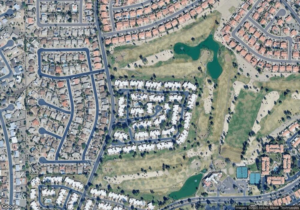
Map
Nearby Homes
- 19562 N 96th Ln Unit 80
- 9704 W Tonto Ln
- 9706 W Rimrock Dr Unit 95
- 9708 W Rimrock Dr Unit 96
- 9734 W Kerry Ln Unit 14
- 9455 W Behrend Dr
- 9832 W Behrend Dr
- 9727 W Kerry Ln
- 9839 W Utopia Rd
- 19702 N 98th Ln
- 9856 W Rimrock Dr
- 19400 N Westbrook Pkwy Unit 220
- 19400 N Westbrook Pkwy Unit 121
- 19400 N Westbrook Pkwy Unit 241
- 9646 W Taro Ln
- 9869 W Chino Dr
- 19605 N Pine Springs Dr
- 9622 W Taro Ln
- 9551 W Sierra Pinta Dr
- 19420 N Westbrook Pkwy Unit 502
- 9614 W Oraibi Dr
- 9616 W Oraibi Dr Unit 112
- 9639 W Tonto Ln
- 9637 W Tonto Ln Unit 72
- 9701 W Tonto Ln Unit 70
- 9635 W Tonto Ln
- 9702 W Oraibi Dr Unit 113
- 9703 W Tonto Ln Unit 69
- 9633 W Tonto Ln Unit 74
- 9708 W Oraibi Dr Unit 114
- 9705 W Tonto Ln
- 9631 W Tonto Ln
- 9710 W Oraibi Dr Unit 115
- 9707 W Tonto Ln Unit 67
- 9615 W Oraibi Dr Unit 108
- 9613 W Oraibi Dr Unit 109
- 9621 W Oraibi Dr Unit 106
- 9617 W Oraibi Dr Unit 107
- 9623 W Oraibi Dr Unit 105
- 9701 W Oraibi Dr