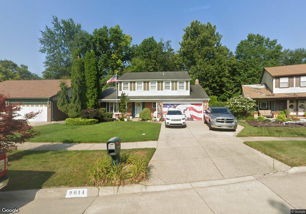
9614 Rose St Unit Bldg-Unit Taylor, MI 48180
Estimated Value: $305,997 - $321,000
--
Bed
2
Baths
1,953
Sq Ft
$161/Sq Ft
Est. Value
About This Home
This home is located at 9614 Rose St Unit Bldg-Unit, Taylor, MI 48180 and is currently estimated at $314,499, approximately $161 per square foot. 9614 Rose St Unit Bldg-Unit is a home located in Wayne County with nearby schools including Holland Elementary School, Hoover Middle School, and Taylor High School.
Ownership History
Date
Name
Owned For
Owner Type
Purchase Details
Closed on
Dec 13, 2017
Sold by
Tarrant John Charles and The John Charles Tarrant Trsut
Bought by
Barber John
Current Estimated Value
Home Financials for this Owner
Home Financials are based on the most recent Mortgage that was taken out on this home.
Original Mortgage
$181,000
Outstanding Balance
$152,386
Interest Rate
3.94%
Mortgage Type
VA
Estimated Equity
$162,113
Purchase Details
Closed on
Dec 26, 2001
Sold by
Tarrant John C
Bought by
Tarrant John C
Create a Home Valuation Report for This Property
The Home Valuation Report is an in-depth analysis detailing your home's value as well as a comparison with similar homes in the area
Home Values in the Area
Average Home Value in this Area
Purchase History
| Date | Buyer | Sale Price | Title Company |
|---|---|---|---|
| Barber John | $181,000 | None Available | |
| Tarrant John C | -- | -- |
Source: Public Records
Mortgage History
| Date | Status | Borrower | Loan Amount |
|---|---|---|---|
| Open | Barber John | $181,000 |
Source: Public Records
Tax History Compared to Growth
Tax History
| Year | Tax Paid | Tax Assessment Tax Assessment Total Assessment is a certain percentage of the fair market value that is determined by local assessors to be the total taxable value of land and additions on the property. | Land | Improvement |
|---|---|---|---|---|
| 2025 | $3,905 | $158,800 | $0 | $0 |
| 2024 | $3,905 | $133,900 | $0 | $0 |
| 2023 | $4,708 | $120,900 | $0 | $0 |
| 2022 | $3,727 | $109,300 | $0 | $0 |
| 2021 | $4,146 | $101,100 | $0 | $0 |
| 2020 | $4,106 | $93,100 | $0 | $0 |
| 2019 | $410,613 | $86,900 | $0 | $0 |
| 2018 | $3,200 | $74,700 | $0 | $0 |
| 2017 | $1,321 | $71,200 | $0 | $0 |
| 2016 | $2,772 | $69,300 | $0 | $0 |
| 2015 | $4,948 | $56,300 | $0 | $0 |
| 2013 | $4,930 | $50,300 | $0 | $0 |
| 2012 | $2,171 | $49,800 | $15,300 | $34,500 |
Source: Public Records
Map
Nearby Homes
- 9404 Princess St
- 9786 Princess St
- 9915 Beech Daly Rd
- 9756 Janet St
- 8883 Beech Daly Rd
- 10051 Fairview St
- 8853 Beech Daly Rd
- 25315 Baker St
- 25341 Kinyon St
- 25737 Rusty St
- 0 Goddard Unit 20251010304
- 10053 Michael St
- 25652 Chernick St
- 11098 Partridge Dr Unit 12
- 11098 Partridge Dr
- 10057 Westlake St
- Bayberry Plan at Cypress Garden
- Bannister Plan at Cypress Garden
- Cypress Plan at Cypress Garden
- Evanston IV Plan at Cypress Garden